Cooper Tom Trail
Lakeside walk out to the dam wall
2.6km one way | easy
As the snow starts to melt and the weather warms in the Snowy Mountains, skis and snowboards get swapped out for hiking boots and mountain bikes. There are some great tracks and trails running through the mountains, but you don’t have to go that far to enjoy the fresh mountain air. Jindabyne has plenty of options right at your front door. One of which is the Cooper Tom Trail which runs from the centre of town out to Jindabyne Dam and links up with more tracks on the eastern side of Lake Jindabyne.
While primarily used for mountain biking this is officially a share pathway, if you are walking though keep an eye out for bike riders as they can seemingly appear out of nowhere around corners and over hills.
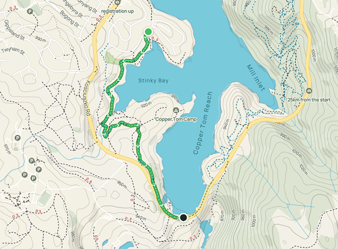
A lovely foreshore walking track runs along most of the lakefront in Jindabyne (currently through the lake as the water levels are so high!), so you can pick this walk up from anywhere along the waterfront. Head south past the bowling club and up to Banjo Patterson Crescent. Turn left into Townsend Street and right into Cobbon Crescent to find the beginning of the trail near the boat ramp.
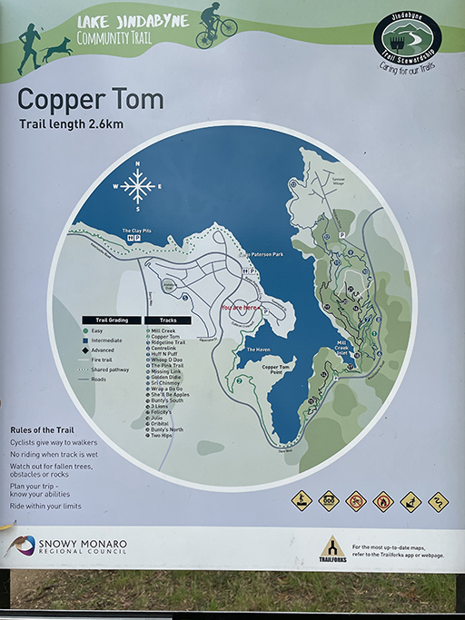
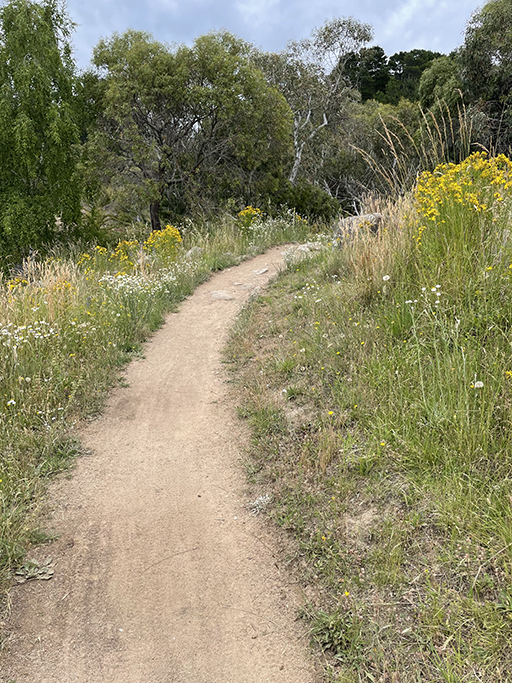
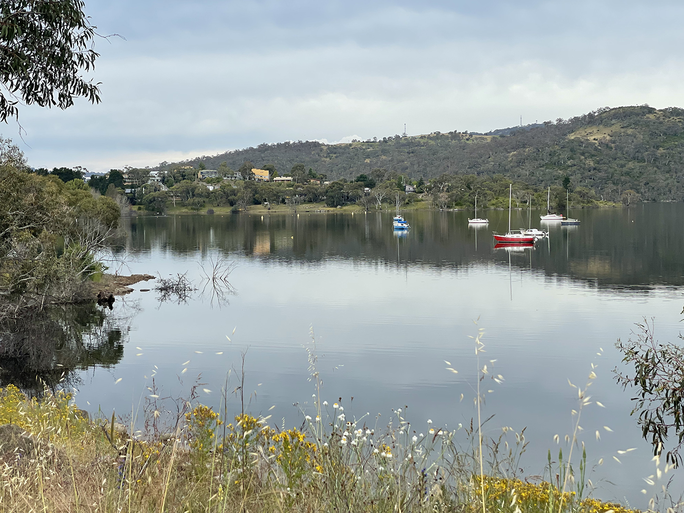
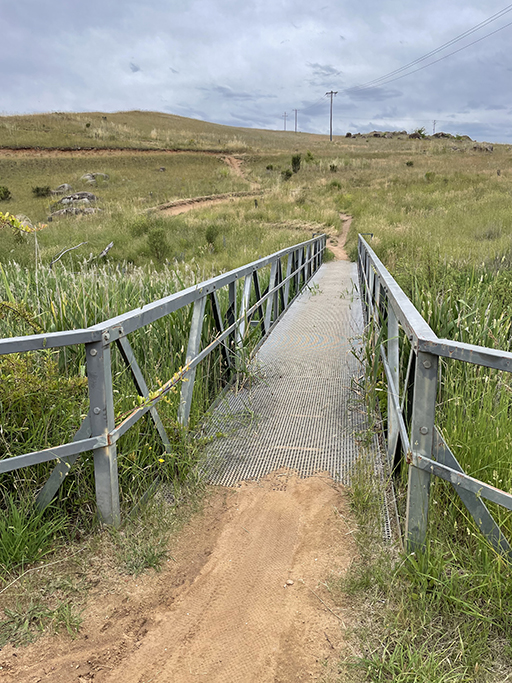
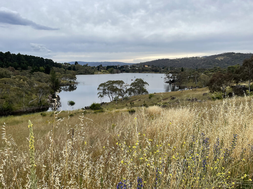
A dirt track undulates around the edge of the bay through open grassland and stands of trees. There are boats pulled up along the shoreline and moored on the lake, with views across the water to the eastern shores. The bay narrows to an inlet where Lees Creek flows into the lake and is lined with bullrushes. When you reach the Pumping Station take the pedestrian bridge over the creek on your left and you will see the bike track zigzagging up the hill on the other side. If you are walking, you might like to take the less distinct track straight up the middle to avoid being skittled. The track runs around and over the point offering even more expansive views back up the lake.
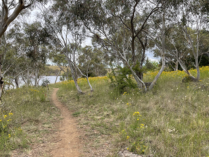
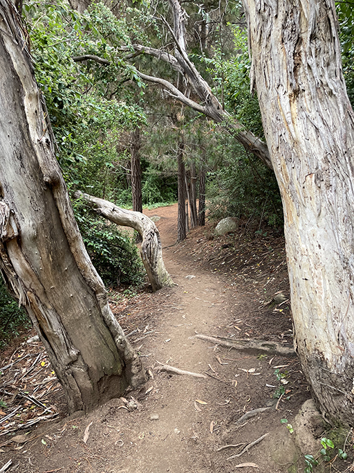
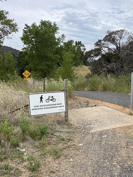
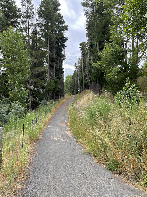
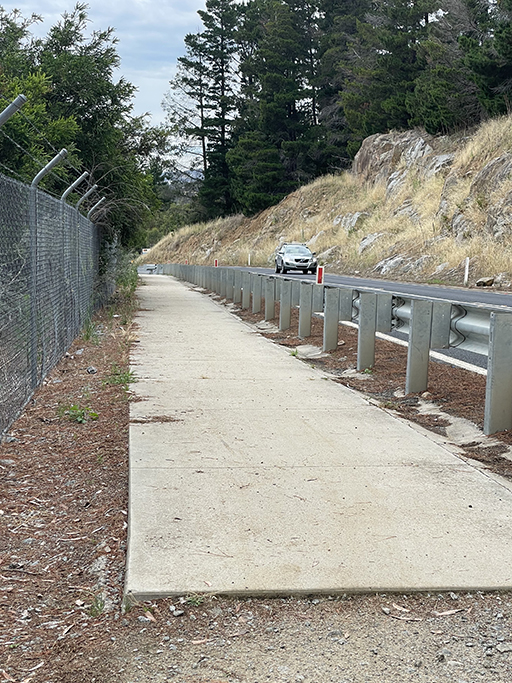
After crossing the dirt road that goes to Cooper Tom Campsite, the track traverses an open grassy area until you reach a locked gate marked ‘Asbestos Management Area’, with a pedestrian access alongside. Follow the road downhill until you reach another gate – this one you can’t get past. Just to the right a dirt path disappears into the pine trees and comes out next to Kosciuszko Road, joining the footpath down to the dam.
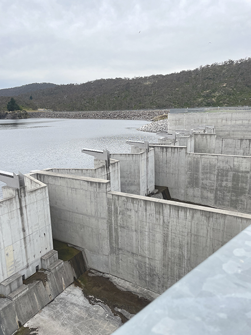
Jindabyne Dam is one of a sixteen dams that form Australia’s famous Snowy Mountains Hydro Electric Scheme. Completed in 1967, the damming of the Snowy River flooded the settlement of Old Jindabyne. Many of the town’s buildings were relocated but some were just left and covered for by the rising waters. When the water levels in the lake are very low parts of the old town can be seen poking above the waves.

I have driven over Jindabyne Dam more times than I care to count, but I have never actually walked over it, probably because it is quite hard to park close to the action. The foot path is on the lake side of the road and even if you play frogger with the traffic there is nowhere to stand on the other side of the road, so you can’t see much of the river downstream or the spillway below.
If you are after a longer walk there are tracks that connect through the bush to East Jindabyne, or head back the way you came for coffee and a treat in town. You deserve it!
