Meadowbank to Rydalmere
Exploring the Parramatta River
Meadowbank to Rydalmere | 5.5 km | easy
The Parramatta River walk is a fabulous and easily accessible walk for all ages. You can walk along both sides of the river all the way from Parramatta to Gladesville Bridge. Over 100km of beautiful flat waterside paths. You don’t need to do it all at once though – it is easy to break into doable chunks with ferry wharfs dotted along the river at regular intervals. Park and catch the ferry then walk back to your car, what could be easier? There are maps of the entire walk available here and here. And timetables for the river cats are available here.
On a sunny afternoon after many days of rain I decided my head would benefit from some exercise and a change of scene, so I headed for Meadowbank Wharf with water bottle and a podcast at hand. The traffic was heavier than I expected so I didn’t get there in time to catch the ferry to Rydalmere and walk back, so I walked to Rydalmere instead…
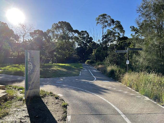
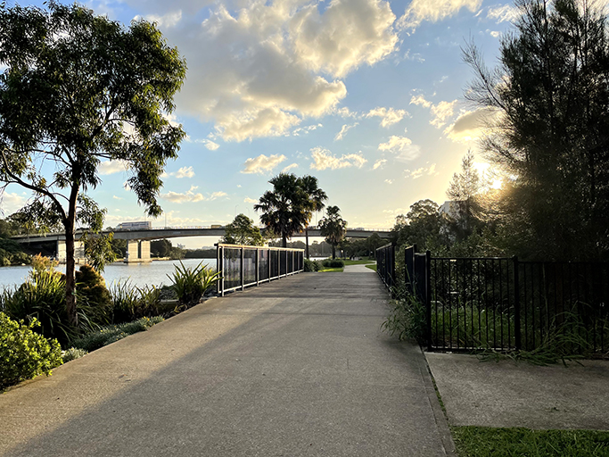
Meadowbank has changed dramatically over the last couple of decades with a multitude of medium and high-density developments going up. But access to the river foreshore has been retained and a great network of boardwalks and walking/cycling paths have been developed for us to enjoy. The track is well sign posted as the path moves from shoreline to the occasional street walk, joining the paths along the river.
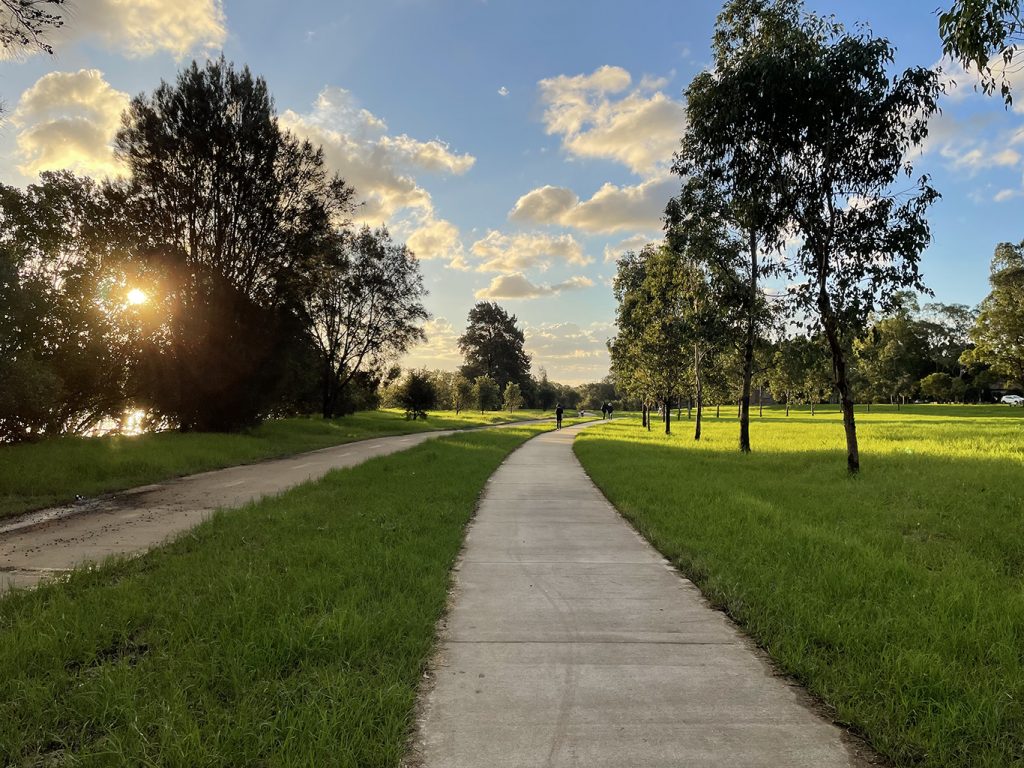
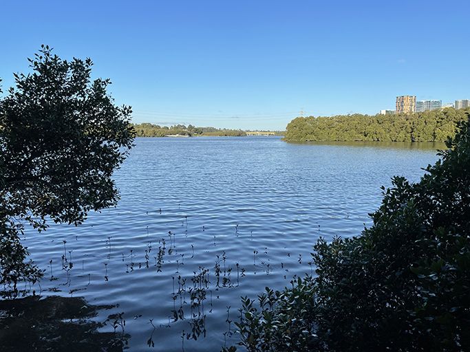
Heading west from under the John Whitton Bridge the shared walking/cycleway follows the river’s edge alongside Memorial Park. As the mangroves start to appear on your left the park opens into a series of playing fields and playgrounds on the right, filled with kids being active outdoor – just what we like to see.
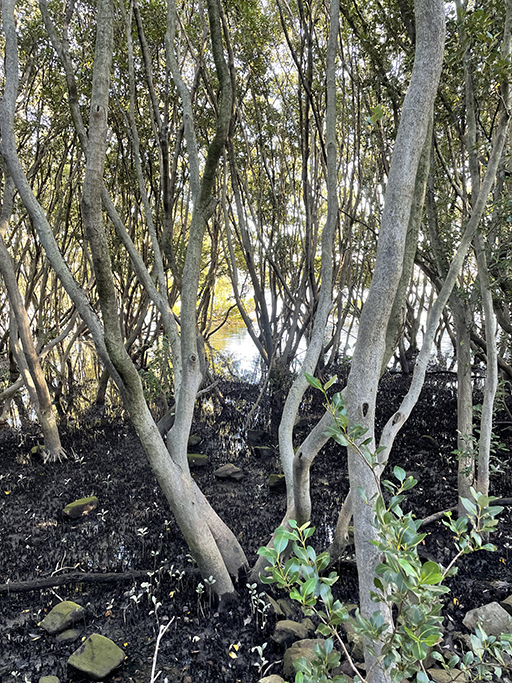
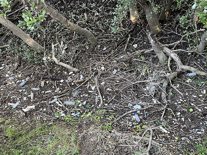
Mangroves are spread along the shoreline of the Parramatta River, filtering the river water and water run-off from our urban streets. They have been working overtime lately with all the rain and floods we have seen in Sydney. It is sad to see all the rubbish that has been washed up and trapped amongst their roots, not the kind of filtering they are designed for, but I digress…
After crossing Archer Creek take the turn to the left and follow Lancaster Avenue to Melrose playground where the path goes through the reserve to meet Wharf Road. The view up and down the river from the boat ramp is worth a little detour, then back up Wharf Road and left down Waratah Street.
The Ermington Bay Nature Trail
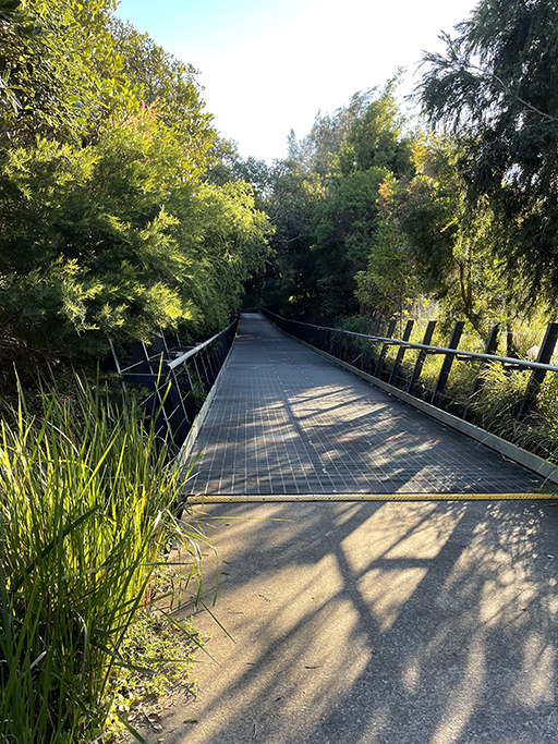
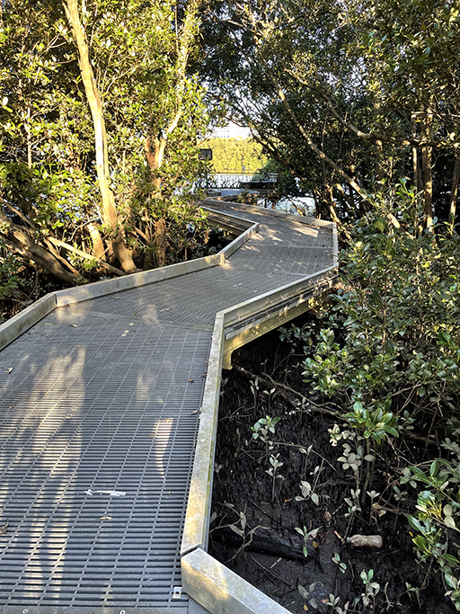
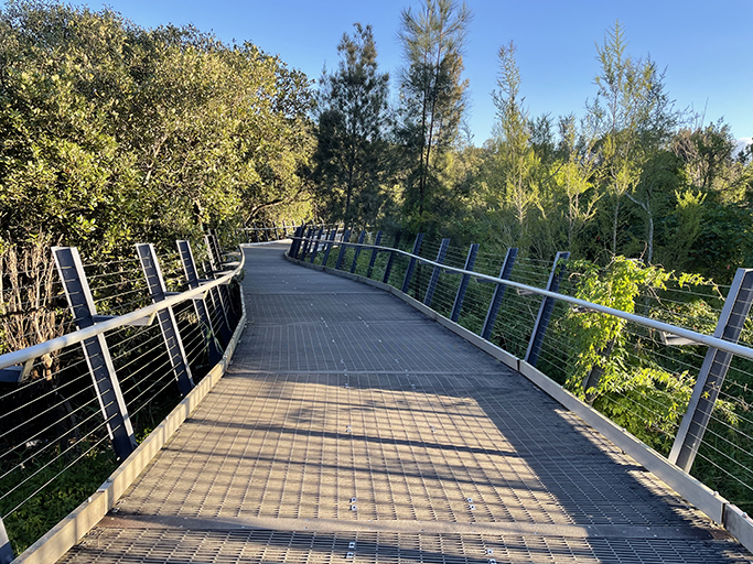
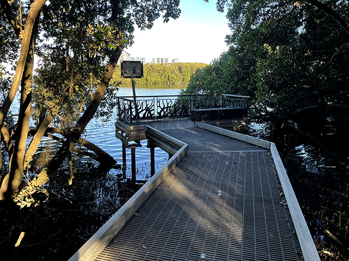
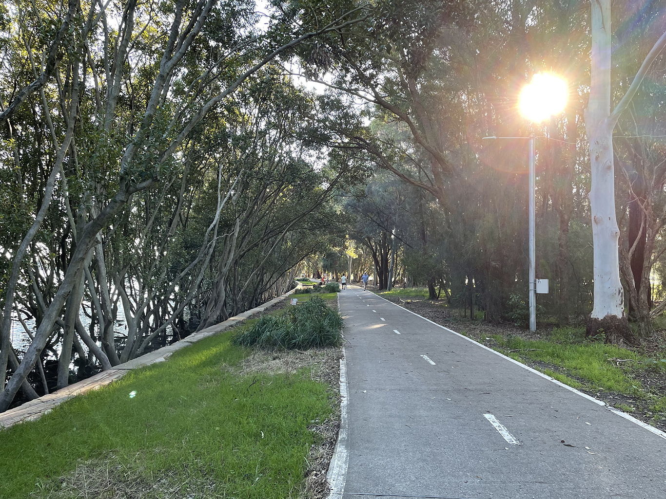
And the end of Waratah Street the track soon becomes a lovely, raised boardwalk that meanders in and out of the saltmarsh and mangroves. Connecting George Kendall Riverside Park with Wharf Road, the Ermington Bay Nature Trail is very popular with cyclists so keep an ear out for wheels whizzing up behind you. There are several information boards and down a side path a lovely viewing platform with a bench to rest and soak up expansive river views.
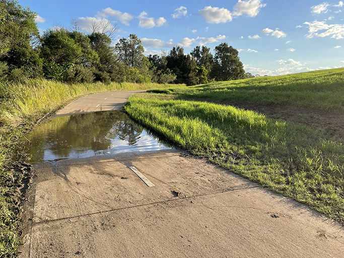
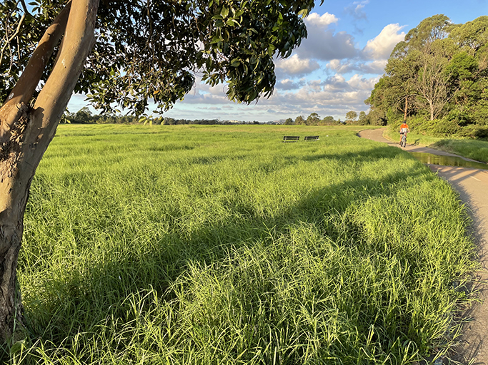
As the mangroves open into grassy fields you have reach George Kendal Reserve. The concrete path through the reserve is still covered in water in places and I gingerly step through the mud along the side of the path in an effort to keep my feet dry. The cyclist don’t seem to realise that when they speed through the puddles they are spraying water over anyone nearby so timing is critical!
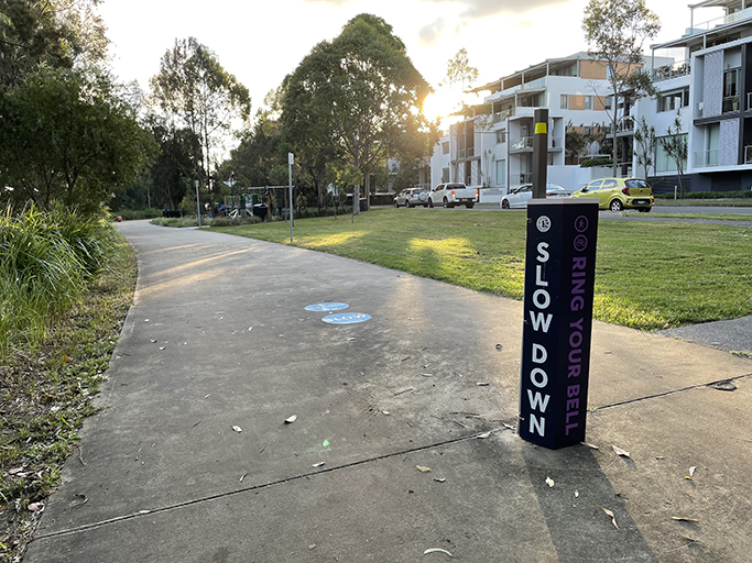
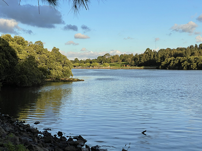
At the end George Kendal Reserve the track follows the shoreline again, alongside more new developments, through riverside parks and playgrounds. The Silver water bridge comes into view and looking back down the river I can see the high-rise buildings of Wentworth Point and Rhodes.
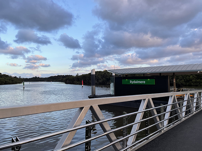
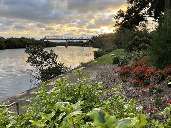
The reserve continues under Silverwater Bridge and soon reaches Rydalmere Wharf where I watch the sun slowly sinking to the horizon over Parramatta and the river while waiting for the ferry to take me back to my car.