Another 6km ticked of the Great North Walk
South Turramurra to Thornleigh
South Turramurra to Thornleigh | Approx. 6km | 2.5 Hours | Hard
Starting back where we finished off two weeks ago, we left a car at Thornleigh and drove to Koombala Avenue to begin our walk. Doing the two car thing means a lot less public transport and/or walking to access points for the GNW.
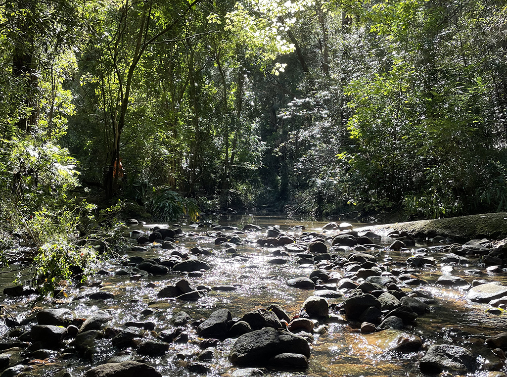
The track at the end of Koombala Avenue follows the management trail downhill to Browns Waterhole, a wide, shallow section of the Lane Cove River with a concrete cycle/footpath crossing over the top of a weir. This links Kissing Point Road, South Turramurra to Vimiera Rd, Macquarie Park and is a popular shortcut for the fitness conscious commuter.
The management trail soon turns into bush track as we follow the river through the valley, crossing small creeks and passing turn offs for the Step Track and Whale Rock trail – will have to add that one to the to do list.
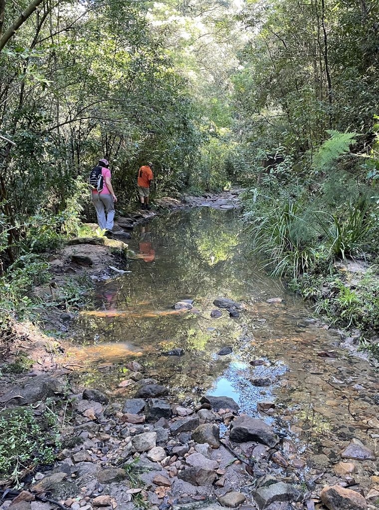
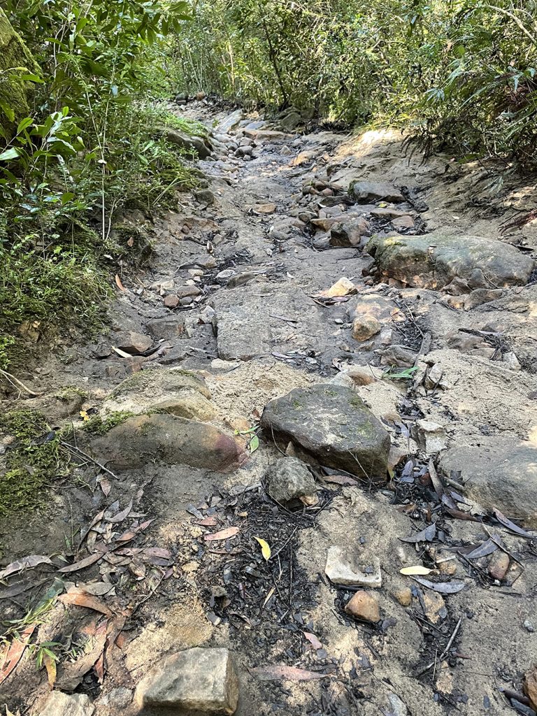
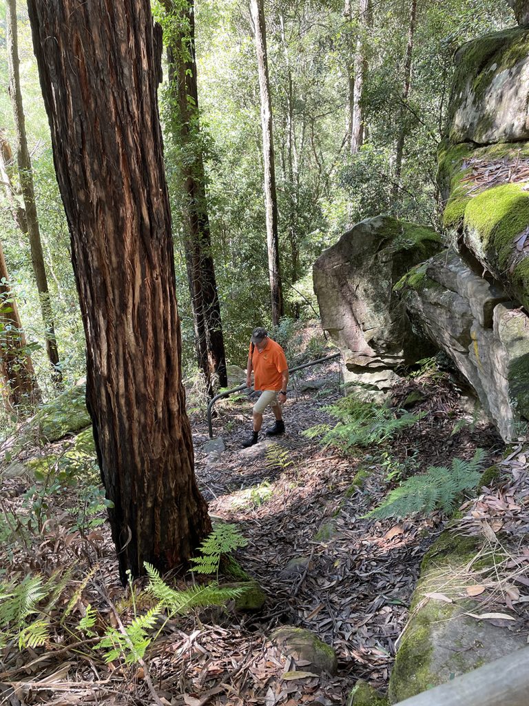
The past couple of weeks have seen record rain in Sydney and NSW, and as the trail undulates through the valley we can see evidence of this along the rivers edge. Many sections of the walking track have been eroded by flood waters. Branches and vegetation that have been washed down in the storms can be seen hanging in bushes along the riverbanks up higher than our heads – last week we would not have been walking here!
As the track heads up hill we find a GNW registration box and sign our names. This is the first of many big hills we will encounter in the next few weeks, I am hoping my lungs (and my legs) will cope with them better the more I do.
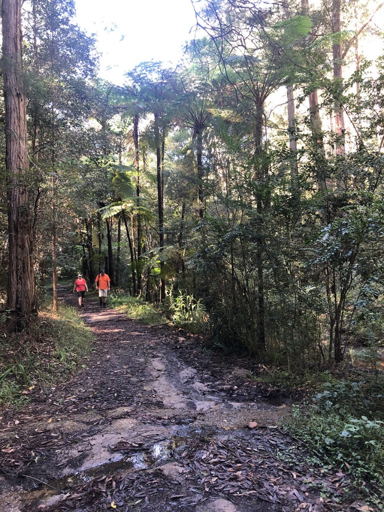
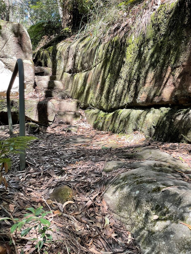
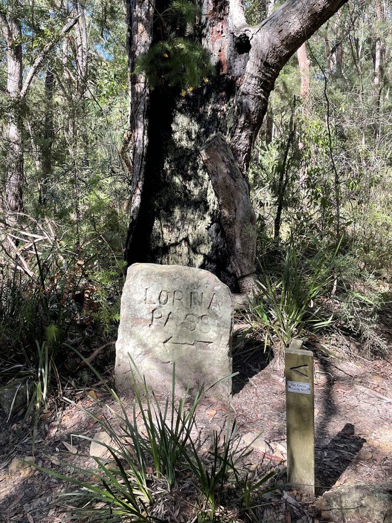
The track zigzags up the rocky hill through Conscript Pass, a small sandstone pass between the Lane Cove River and Thornleigh. During the 1930s stone steps were built through a cleft in the rock as part of a public works program. The pass has two engravings, the first ‘Conscript Pass’ is followed with a downwards pointing arrow and a series of initials and numbers. On another wall (that you face when walking up) is engraved ‘B Stevens’ with a caricature of the then Premier of NSW, Bertram Stevens. The path continues up, up and up to meet Lorna Pass track, at the top of this track is a stone sign pointing back down the way we came.
A little further along there is a turn off (which we didn’t take) to the Baden Powell Scout Centre. Baden Powell Scout Centre is a large camping and training area on the edge of Pennant Hills. There are several large buildings including dining and training halls. If you wanted to you could camp here, there are picnic shelters, toilets and tap water. There is also an indoor area in case the weather turns during the night and you need to retreat.
Continuing along the track brings us to Thornleigh Oval, and around the fence line of the oval, there are toilets and a water tap. Following the footpath along Handley Ave takes us back to our car and home.
This post is not a comprehensive guide to the GNW, more resources for these walks can be found at http://www.thegreatnorthwalk.com
