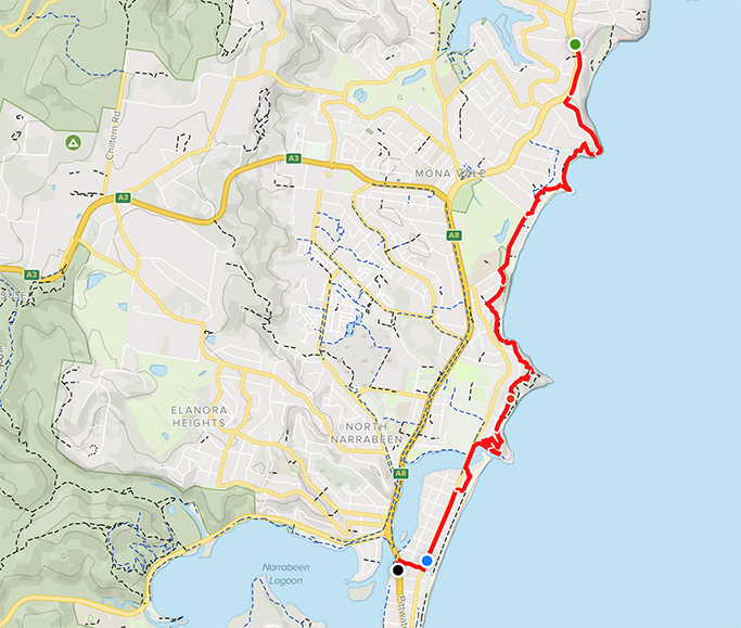
Bungan Beach to North Narrabeen
Sydney Coastal Walk
Northern Beaches | 9km | moderate
Section three of the Sydney Coastal walk, for us anyway, heading from north to south. It has been almost a month since our last coastal walk – where does the time go.
Picking up where we left off, on Barrenjoey Road above Bungan Beach, we leave the car parked near the bus stop ready for our return. Heading along the footpath to Hillcrest Avenue there are plenty of opportunities to admire the ocean views between the houses. Turning left off the main road we wind our way up toward Mona Vale Headland and the traffic noise is soon behind us.
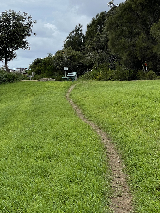
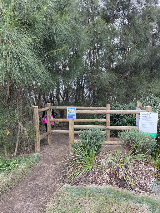
Hillcrest Avenue ends at North Mona Vale Headland Reserve with spectacular views over Bungan Beach to the north and a preview of what’s to come looking south. Walk to the far end of the reserve until you come to a set of sandy steps heading into the bush. The track does a loop around the headland and comes out in the cul-de-sac at the end of Grandview Parade. It is not immediately obvious, but to your left is another track heading out of the cul-de-sac and down the hill to the beach.
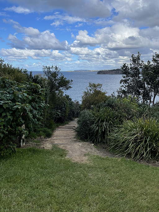
This is Basin Beach. I always thought it was just the northern end of Mona Vale Beach, but no, this area north of the ocean pool has its own name – Basin Beach. So far in our journey down the coast we have avoided to much walking on the sand. It has been pretty damp and frankly walking on sand is hard work. Today I convince Jen to just do this stretch down to the rock pool along the beach, but if sand isn’t your thing there is a path up to Surfview Road which will also get you where you need to go.
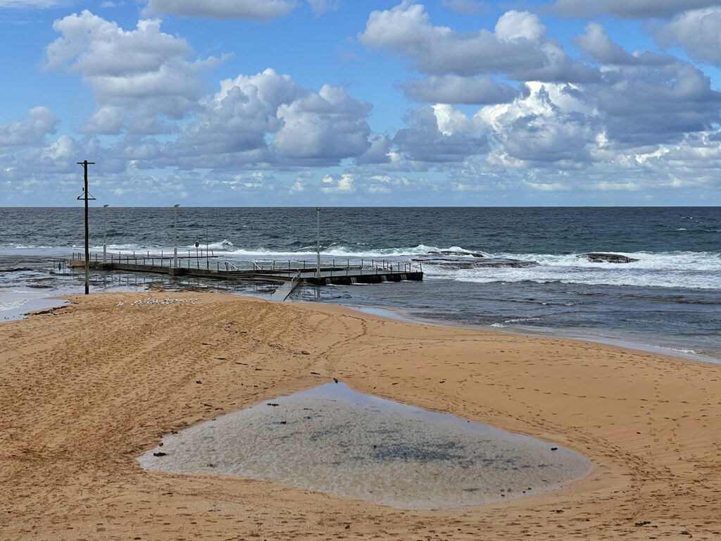
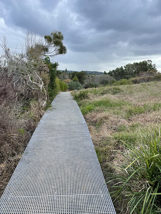
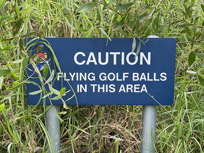
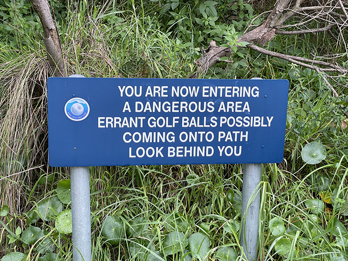
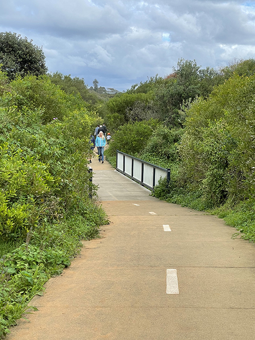
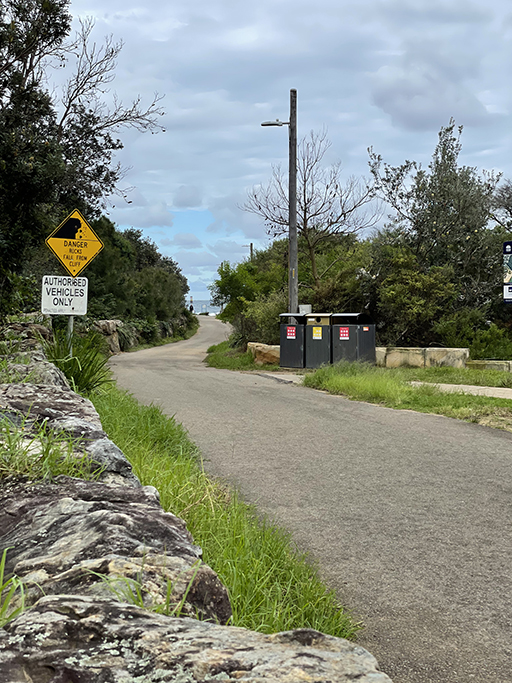
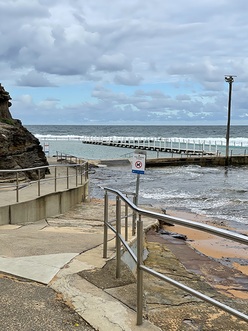
On the rock platform between Basin Beach and Mona Vale beach is another of Sydney’s iconic ocean pools. I have actually swum in this one – it might be the only one I have done, hopefully we will fix that next summer. There are also toilets and a drinking water refill station if required. We stopped for a break and a snack before heading south past the surf club. At the end of Surfview Road continue along the pedestrian/cycle path. The path runs between the sand dunes and Mona Vale golf course and is dotted with warning signs about flying golf balls and the damage they can do if they come into contact with your head. There is even a safety fence for the public to shelter behind, although one would have to be quite agile to get behind the wire faster than an approaching golf ball.
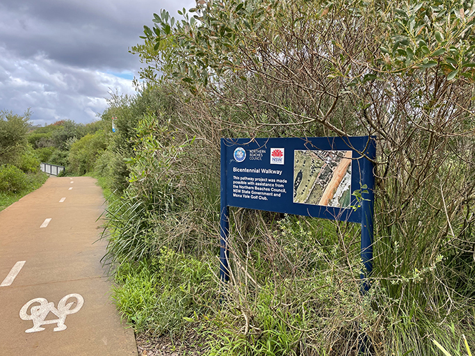
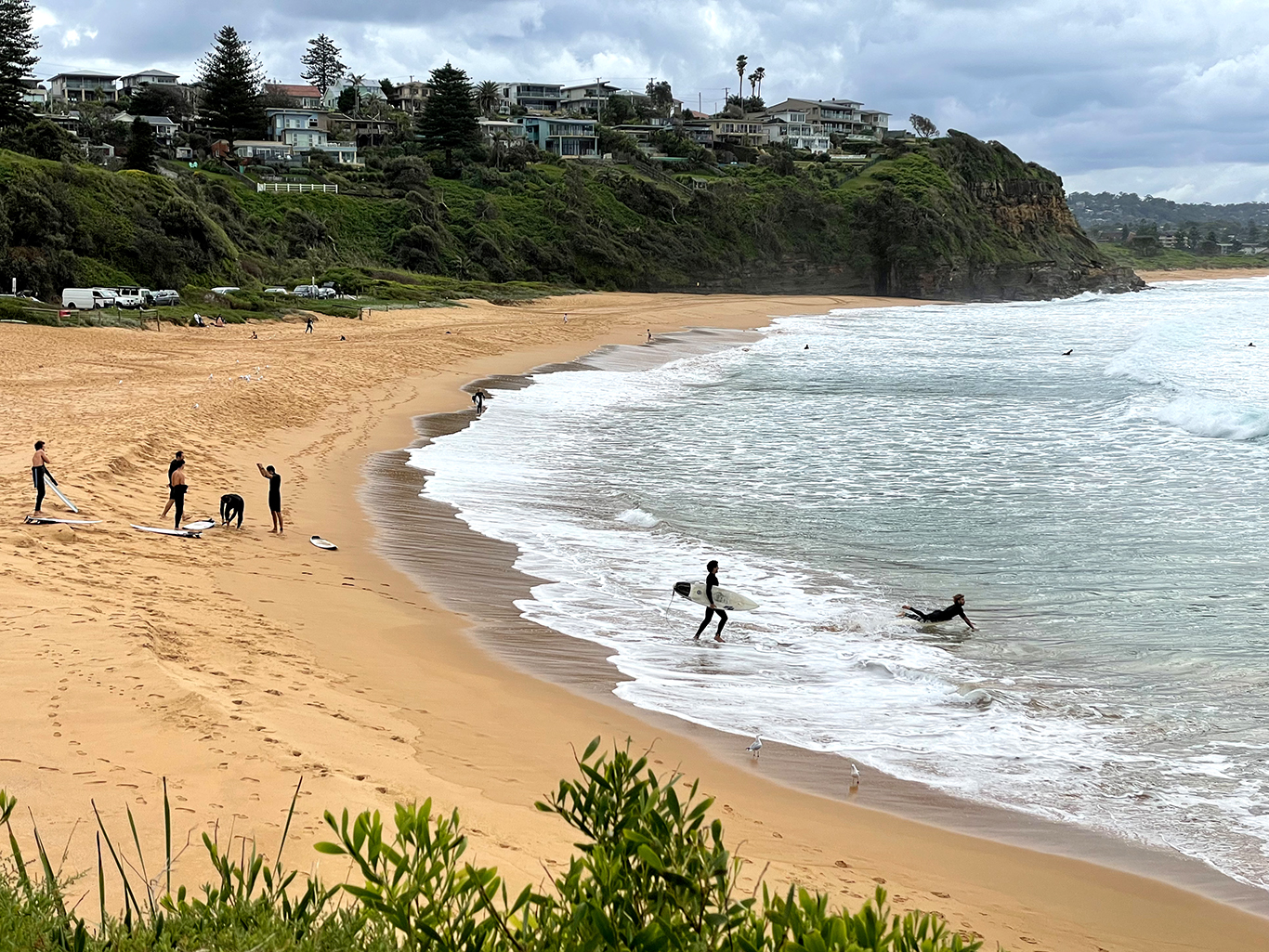
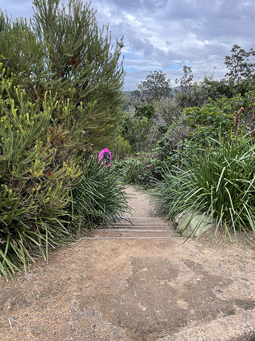
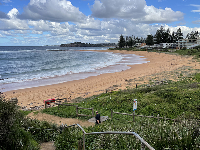
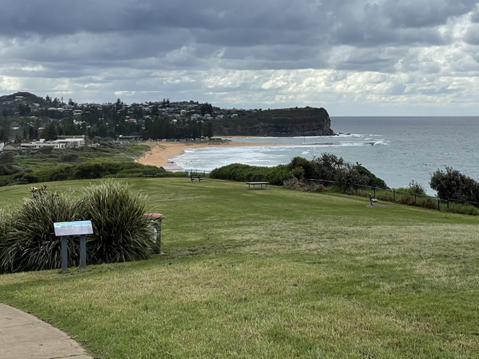
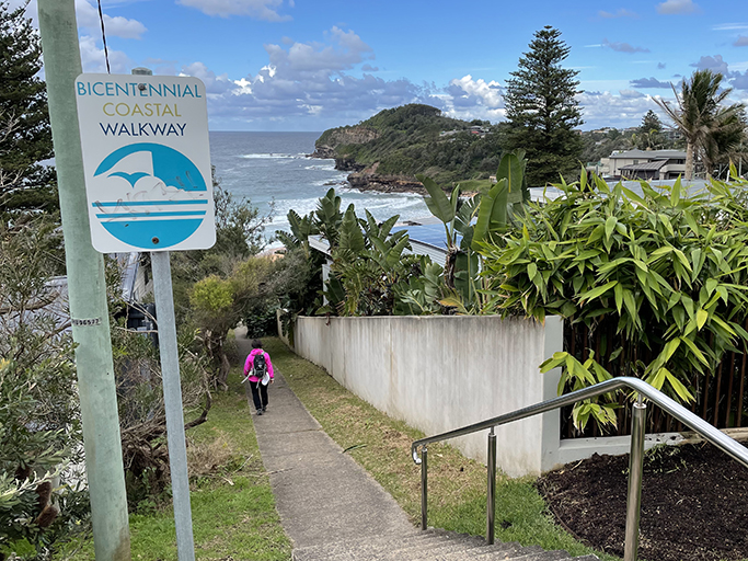
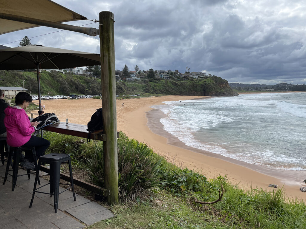
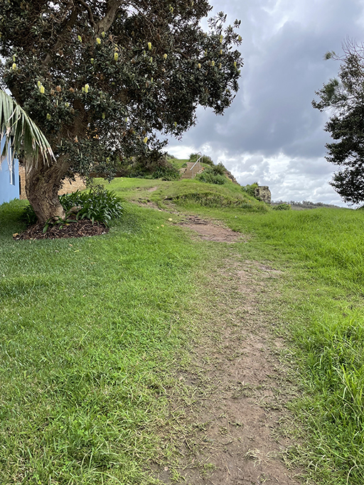
At the end of the golf course turn left up through Robert Dunn Reserve, stopping to take in the views, and then follow Narrabeen Park Parade until you come to concrete steps and a path heading down toward the beach. There is a sign at the top of the path ‘Bicentennial Coastal Walkway’. Halfway down the hill the path forks, just keep heading downhill and take care as the path is quite slippery in patches. Warriewood Beach is another delightful little beach, and another that I have never visited. There are toilets and a surf club with a café, perfect timing as we are in need of a drink.
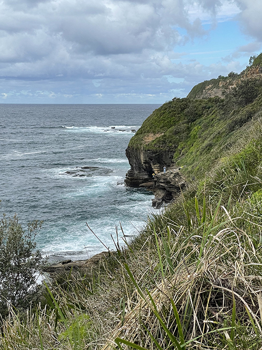
Behind the surf club are steps up to Warriewood Beach Reserve where the track wanders along the top of the cliffs. A short track to the left takes us to a lookout over Warriewood Blowhole. Not what I was expecting from a blowhole (I think I had Kiama blowhole in mind). You can’t actually see it from the lookout, but apparently it is a source of adventure for local youngsters who climb down the cliffs to jump and swim. There are rescues here on a regular basis when adventurers get themselves into trouble on the rocks or in the surf. I think its best we just stick to the tracks and admire the view.
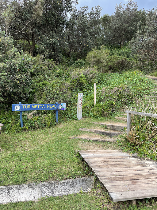
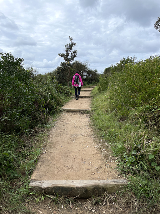
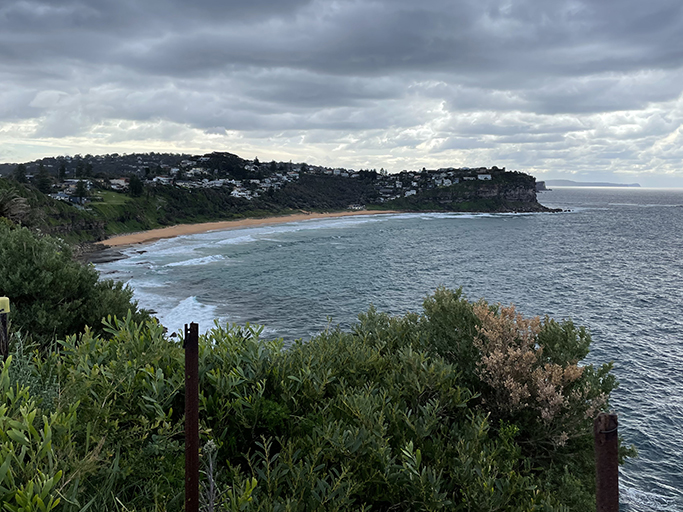
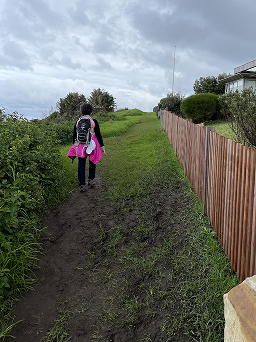
Continuing back to the path and turning left up the stairs we follow the track around Turimetta Headland. There are two tracks – one more direct and another that follows closer to the edge of the headland. At the time we did this walk the longer option was closed due to storm damage, both will take you to the same spot at Narrabeen Park Parade though. Walk a short distance along the road. There is one track that goes down to the beach, but we chose to turn left over the grass just before you get to the houses. There is a track that runs along the reserve between the houses and the beach, signposted ‘Coastal Walk’. This was a nice grassy walk instead of the sand and offered some nice, elevated ocean views. Turimetta Beach is yet another beach I had never heard of, clearly I am going to have to do more weekend beach picnics next summer.
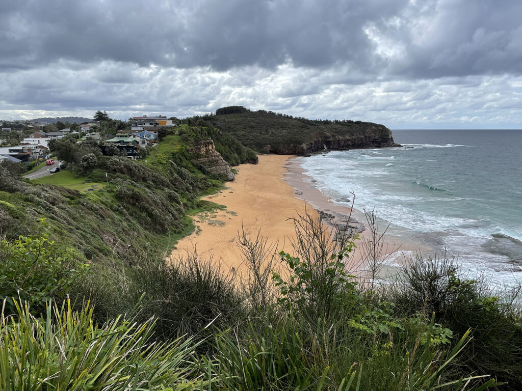
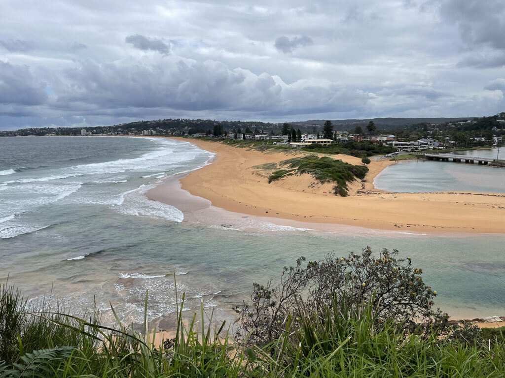
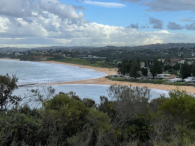
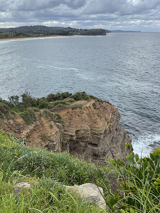
The track continues past the south end of Turimetta Beach and around Narrabeeen Headland with views over the entrance to Narrabeen Lagoon from the southern side. The lagoon entrance channel changes constantly, with sand being washed into the channel by waves and tides. The council manages the entrance with regular clearing, to mitigate flooding around the lagoon, and as a result sometimes you can walk across the entrance and sometimes you cannot. Looking from up here it was obvious we would not be crossing the channel via the beach today.
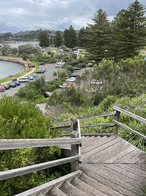
At the end of the track timber stairs lead down to a carpark and at the bottom of the stairs a road to the left takes you to North Narrabeen Rockpool. There are two pools here with toilets and changerooms. After this little side trip, we head back along the road and through the carpark to Ocean Street heading for the bridge over the lagoon.
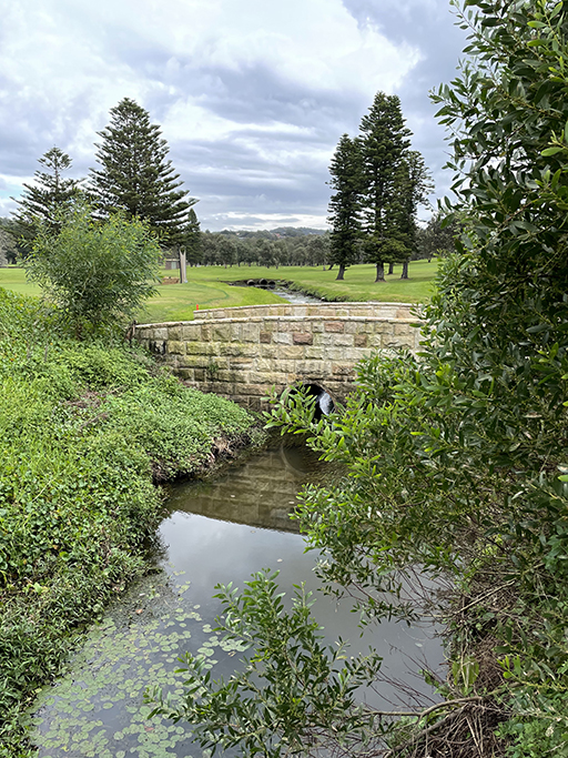
After crossing the bridge there is a track through the park and past the North Narrabeen SLSC. After following it for a few hundred meters it became apparent we would have to choose sand or road. We elected to cut across to the road and followed Ocean Street for several blocks until we got far enough past the lagoon to access Pittwater Road. From here it was a 10 minute wait for the 199 bus and a short ride back to the car at Bungan Beach.