Clontarf Beach to Middle Head
Part 2 of Walking Sydney Harbour
Having triumphed over the coastal walk from Palm Beach to Manly, Jen and I have embarked on our next challenge – walking around the foreshore of Sydney Harbour. This is the second instalment of our walk – 9.5km from Clontarf Beach to Middle Head.
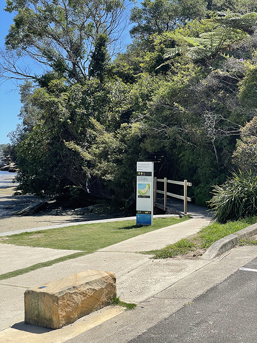
It turns out parking at Clontarf Beach is a bit of a pain. Everything near the beach is paid/timed and doesn’t allow long enough for our planned second stage of circumnavigating Sydney harbour. Heading further uphill away from Clontarf reserve we found an untimed park and, after a couple of false starts, an access path down to the foreshore.
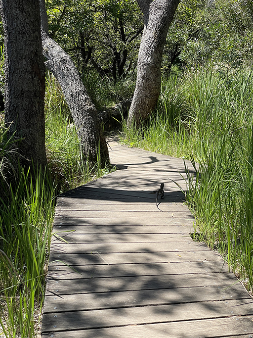
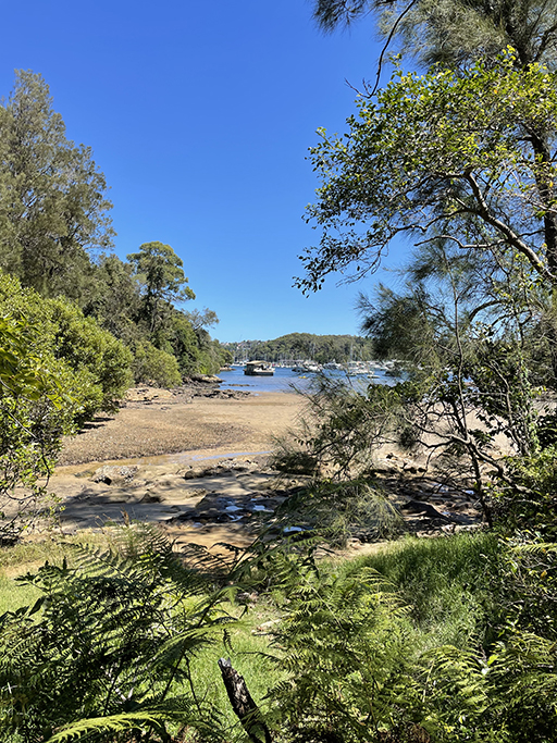
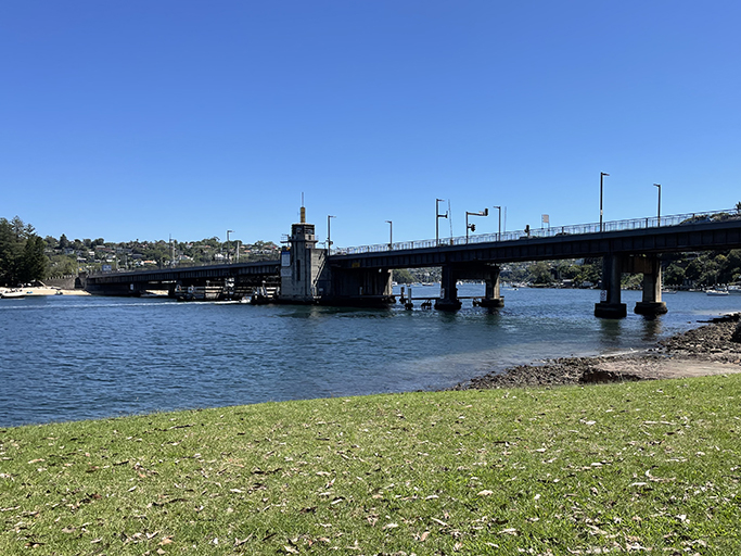
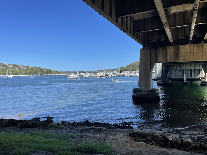
Now we can get going… From Clontarf Marina we walked to the north end of Sandy Bay and the beginning of Fisher Bay Walk. The path follows the water’s edge around to Ellery’s Punt Reserve and under the Spit Bridge. On the eastern side of the bridge there are stairs up to the footpath over the bridge.
The current bridge has been in place since 1958 and replaced a smaller timber bridge that had been in use since 1924 – the cost of the original bridge was reimbursed by a toll – a passenger on a bicycle was one penny and a car cost sixpence, it only took six years to pay it off and then the toll was abolished. Prior to the bridges being built the only way to cross Middle Harbour was by punt.
The Spit Bridge opens to let marine traffic through six times a day on weekdays and eight times a day on weekends. If you time it right you might have a small delay getting over the bridge but there aren’t many more scenic places to get held up.
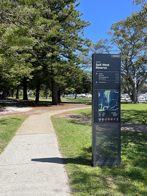
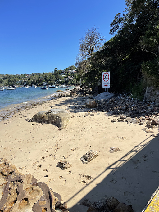
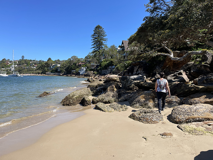
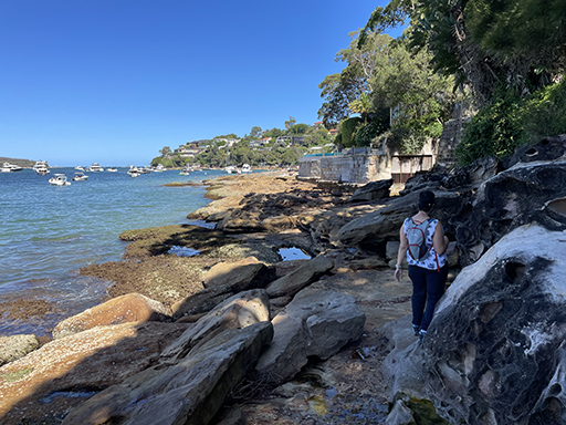
Once over the bridge the path heads through Spit West Reserve. At the traffic lights cross Spit Road and walk through the Spit East Carpark along behind the Middle Harbour Yacht Club and the sailing clubs. It will look like you are coming to a dead-end but there is a concrete path that goes around the sewerage pumping station and down on to the rocks and sand.
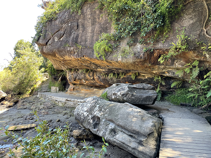
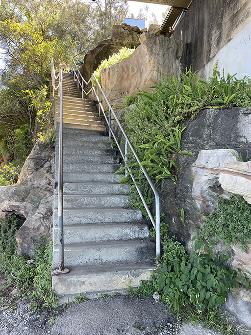
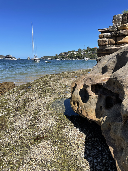
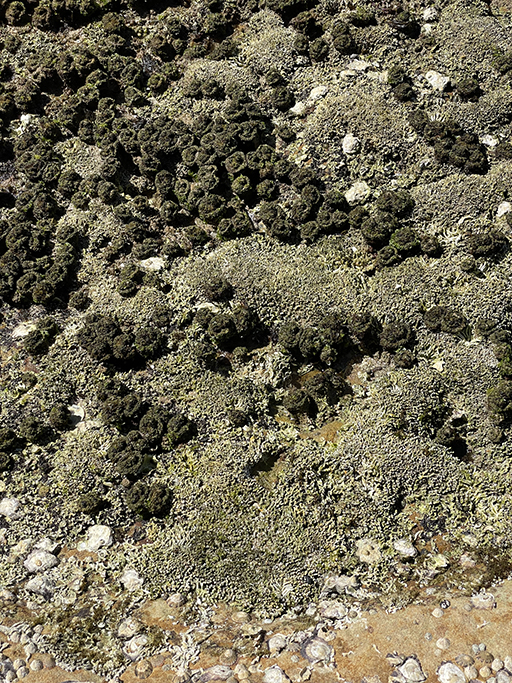
We were lucky to hit this part of the walk at low tide and were able to walk all the way around to Chinamans Beach on the rocks. If it is high tide you might have to take an alternative route for some or all of this section along Parriwi Road. Take care walking on the rocks, they can be slippery in places and don’t forget to look up when you pass the big Norfolk Island Pine to check out the Rosherville Light House up on Parriwi Street. There are stairs up to the light house if you would like to get a closer look.
At the south end of Chinamans Beach the white house on the foreshore is Ken Done’s House, many of you have probably never heard of this iconic Australian artist but I was a big fan back in the day. Check out his work…
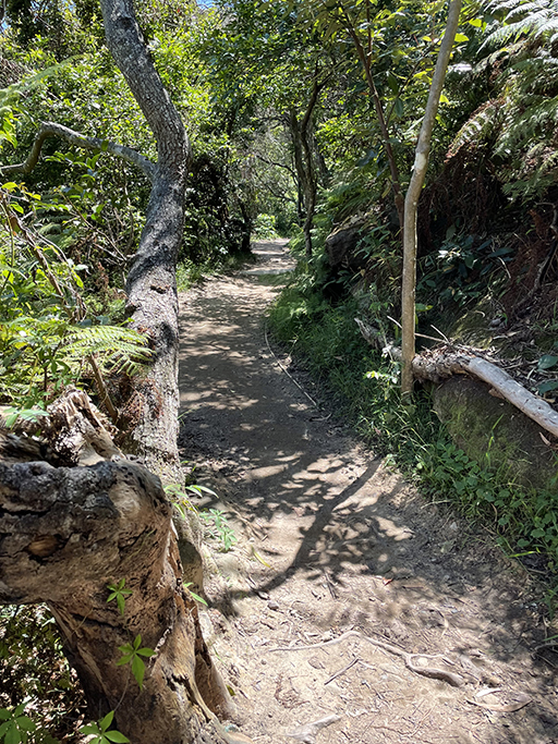
We have to leave the water here and head to the streets temporarily. On your left take the sandy track through the dunes into Rocherville Reserve where you will find a pedestrian path up to Rocherville Road. At the top of the hill turn left into Hopetoun Avenue and follow it around to Stanton Road. Stanton Road in a no through road and at the end is a pedestrian path Wyargine Reserve. Take the track down to the left which comes out on Bennetts Beach – or the top end of Balmoral.
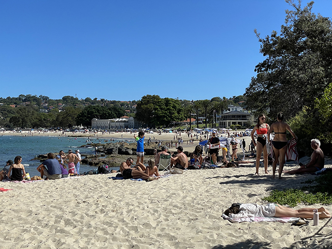
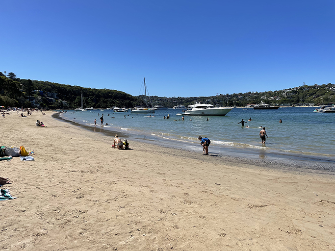
Balmoral Beach is a very popular spot, particularly on a lovely day like today. The sand and grass were packed with people enjoying the sunshine and the café’s were doing a roaring trade. There are plenty of options along the esplanade if you need refuelling as well as toilets and water refill stations near the playground.
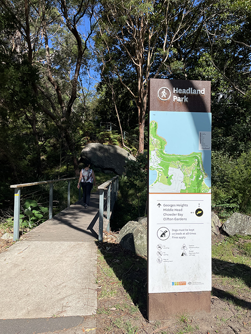
If you head to the very end of the sand at the south end of Balmoral you will hit the fence for the HMAS Penguin, so head into Balmoral Park where at the back left corner you will find a walking track up Headland Park. There are many, many stairs to get up the top of the ridge but once you reach the road it is downhill for a while, thank goodness.
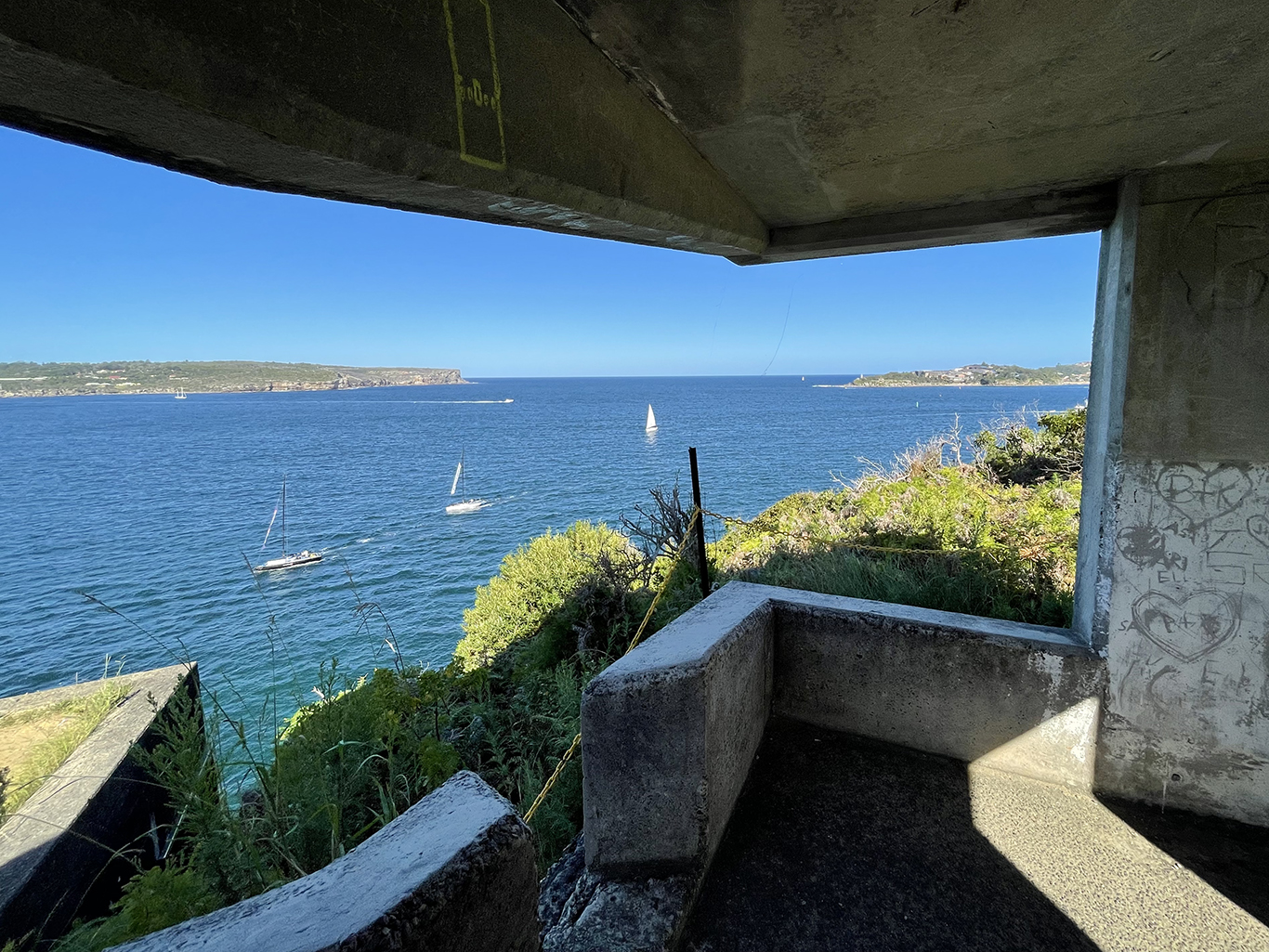
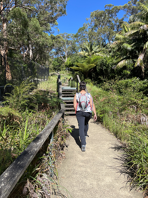
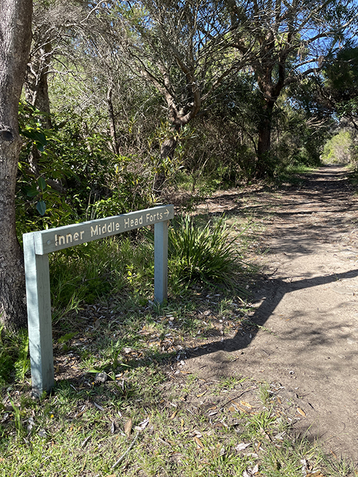
Follow Middle Head Road out to the end of Middle Head where you can spend some time exploring another section of Sydney Harbour National Park.
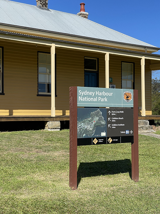
Middle Head
Prior to European settlement, the Traditional Custodians of Headland Park were the Borogegal People. But the area changed forever following the arrival of the First Fleet.
In 1788, Captain John Hunter arrived at Middle Head aboard the HMS Sirius and was warmly welcomed by the Borogegal, this was the first encounter between white men and indigenous people on the north shore of Sydney Harbour.
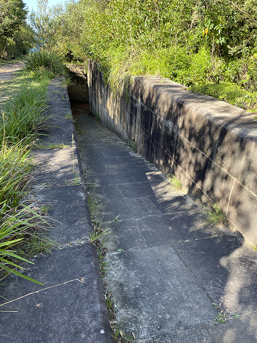
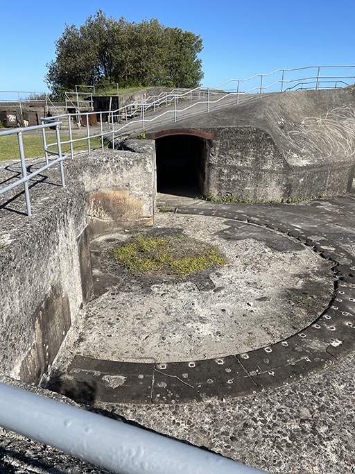
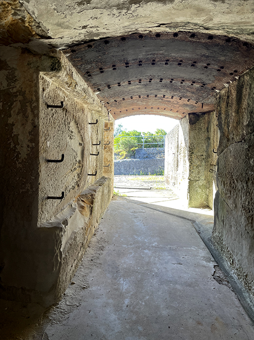
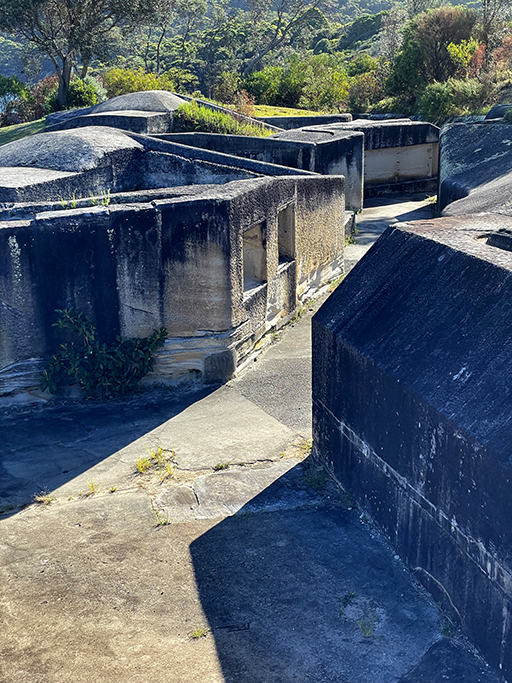
Today Middle Head is jam packed with 200years of military history. The headland is covered with network of lookouts, gun placements, and ammunition stores, all interlinked by tunnels and passages. The first gun emplacement was constructed in 1801, most of the fortifications were built between 1870 and 1911. These remained untouched until the second world war when, spurred on by Japanese midget submarine attack on Sydney Harbour, the fortifications were re-opened and upgraded.
When we were done exploring we wandered back up Middle Head Road to the bus stop and waited for a ride. Getting back to our start point was a bit of a journey. Two busses (change at Mosman) and more walking. In hind sight this one might have been better done with two cars!