Getting Started on the Great North Walk
From the City to North Ryde
With the demise of so many planned holidays over the last year or so, and not knowing how long it will be until international travel opens up again, I have set my sights on more local adventures. When my sister expressed an interest in walking the Great North Walk, I offered to do a few sections with her. With very little bushwalking experience I didn’t want to commit to the whole track, but we will see how we go.
Using the suggested day walks as a guide we have divided the walk it into accessible chunks that suit our walking ability and available time.
City to North Ryde | Approx. 14km (not including the ferry ride) | 4.5 Hours | Moderate
The official start of the Great North Walk, from the Obelisk in Macquarie Place in Sydney, is easily accessible by train or bus into Wynyard. Macquarie Place was established in 1810 as the original ‘town square’ in Sydney and is one of the oldest public parks in Australia. The obelisk in the park records the distance to various locations in New South Wales along the earliest roads developed in the colony.
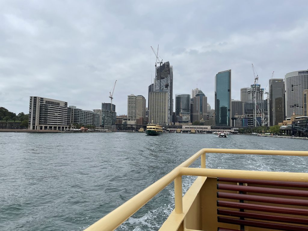
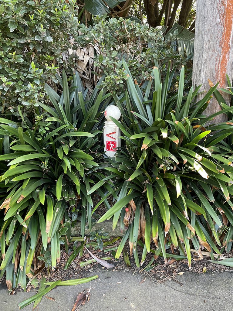
We met at Macquarie Place and strolled down to Circular Quay to enjoy by far the easiest 4km of the walk, a ferry ride to Valencia Street Wharf in Hunters Hill. The ferry takes about 40 minutes to get to Woolwich and just near the wharf you will find the first of many signs guiding you along the Great North Walk.
Historic Hunters Hill
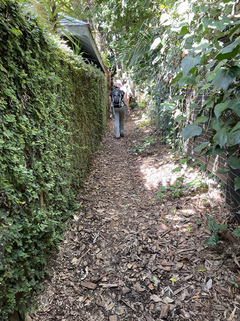
The walk through Hunters Hill is mostly street walking and there is plenty of opportunity to admire beautiful houses, historic buildings and some very nice gardens. If you are in need of refreshments there are shops and cafés.
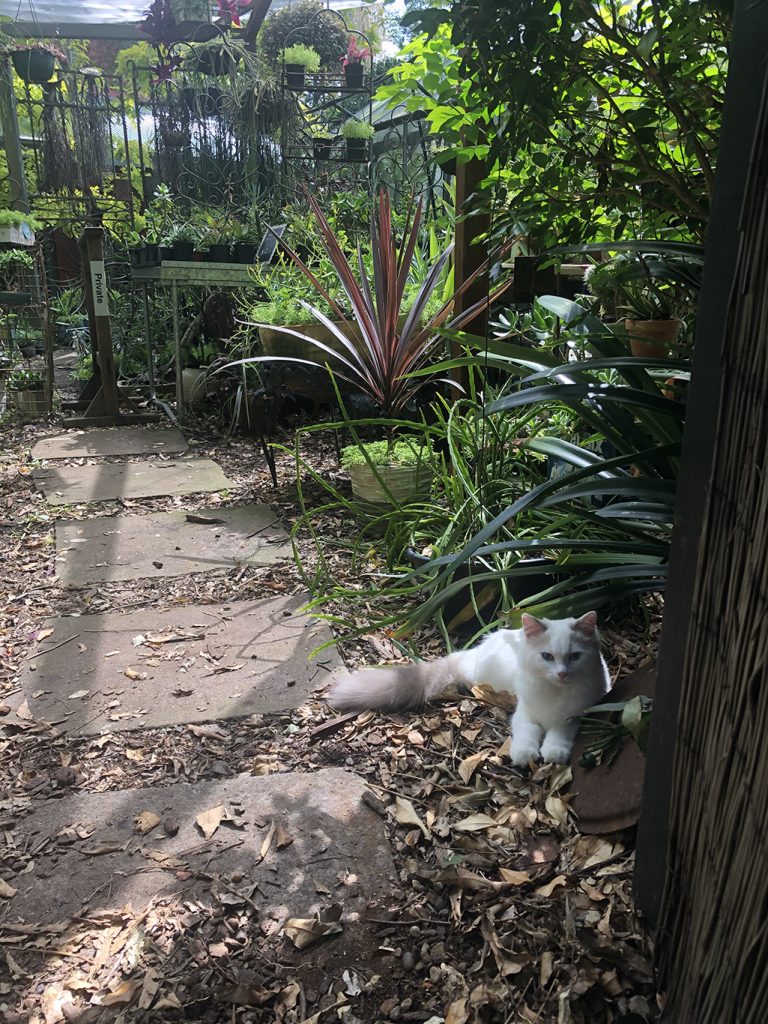
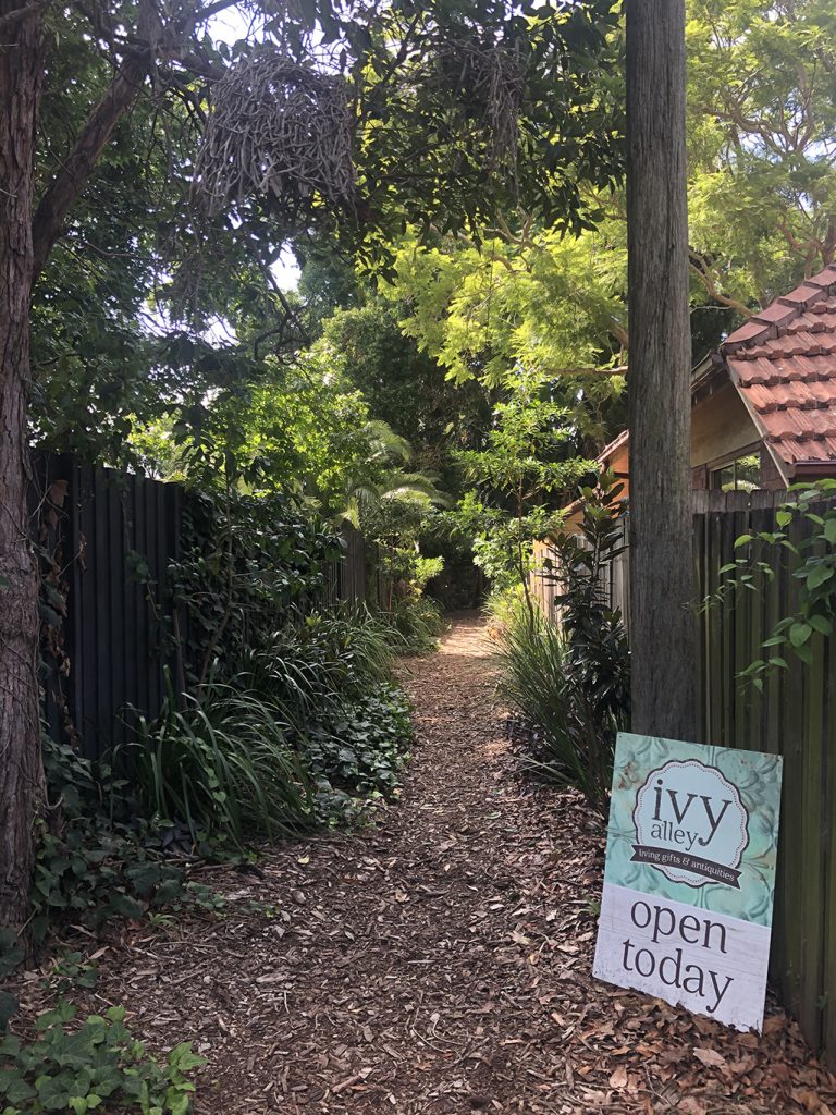
One surprise not in the guides was a lovely little nursery and gift shop we stumbled across in a back lane way called Ivy Alley. Ivy Alley specialise in living plant ‘bouquets’ contained in beautiful pots and containers displayed amongst an array of garden treasures – new, old and salvaged. They also do some great workshops including Bonsai beginners, Terrarium, Kokedama and Succulent workshops. The kind of place you could spend a bit of time fossicking through, but sadly we were not willing carry any purchases for the rest of our walk, I think a return trip via car might be in order. Only open on the weekends, check out their website @ ivyalley.com.au
The walk then heads down to the Lane Cove River, past Hunters Hill High School and under Figtree Bridge. Heading up to Ryde Road there is another opportunity to restock food and drink with only a very small detour up to the shops on Ryde Road. We stopped here to refuel ourselves with a quick egg and bacon roll.
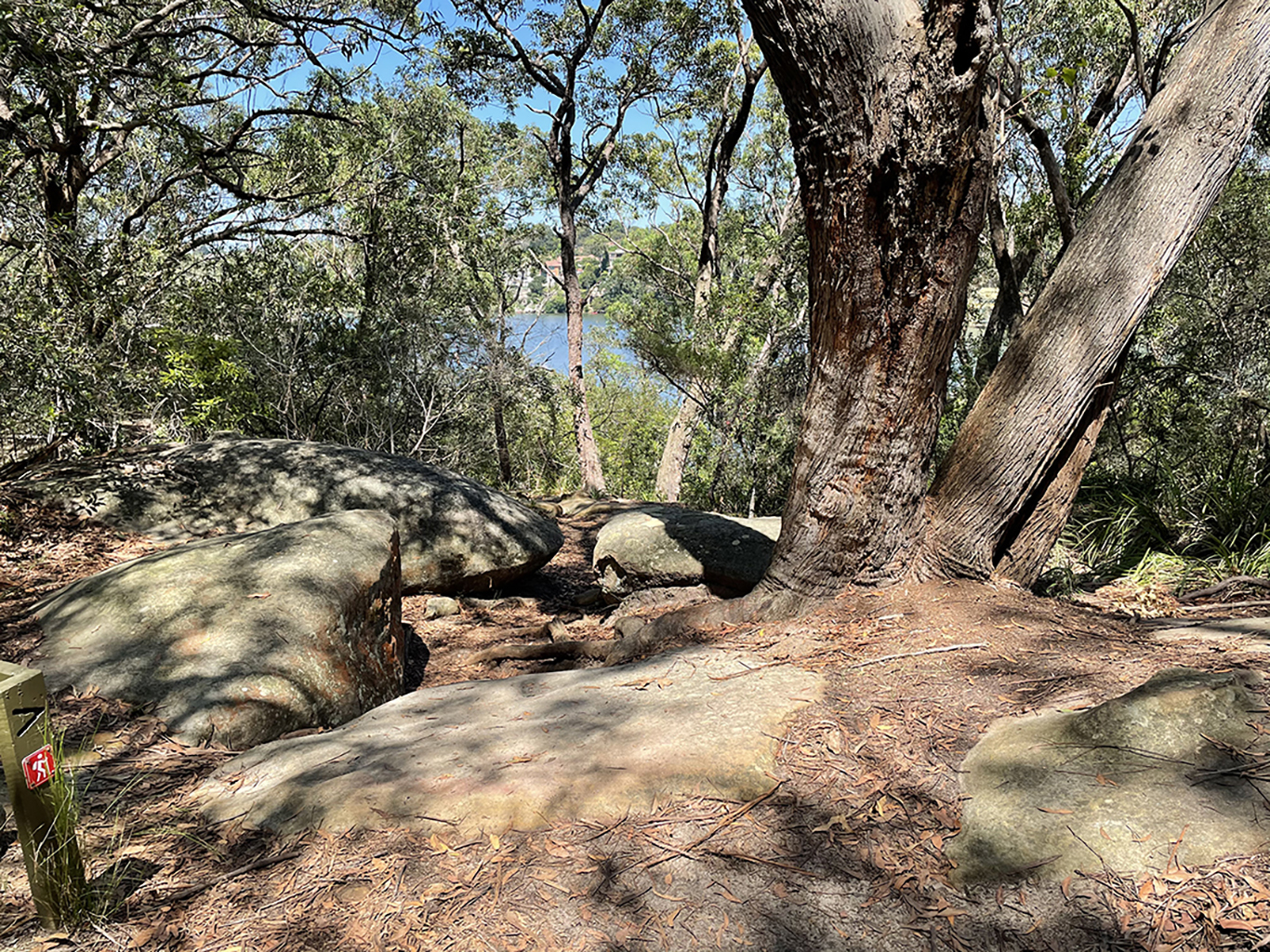
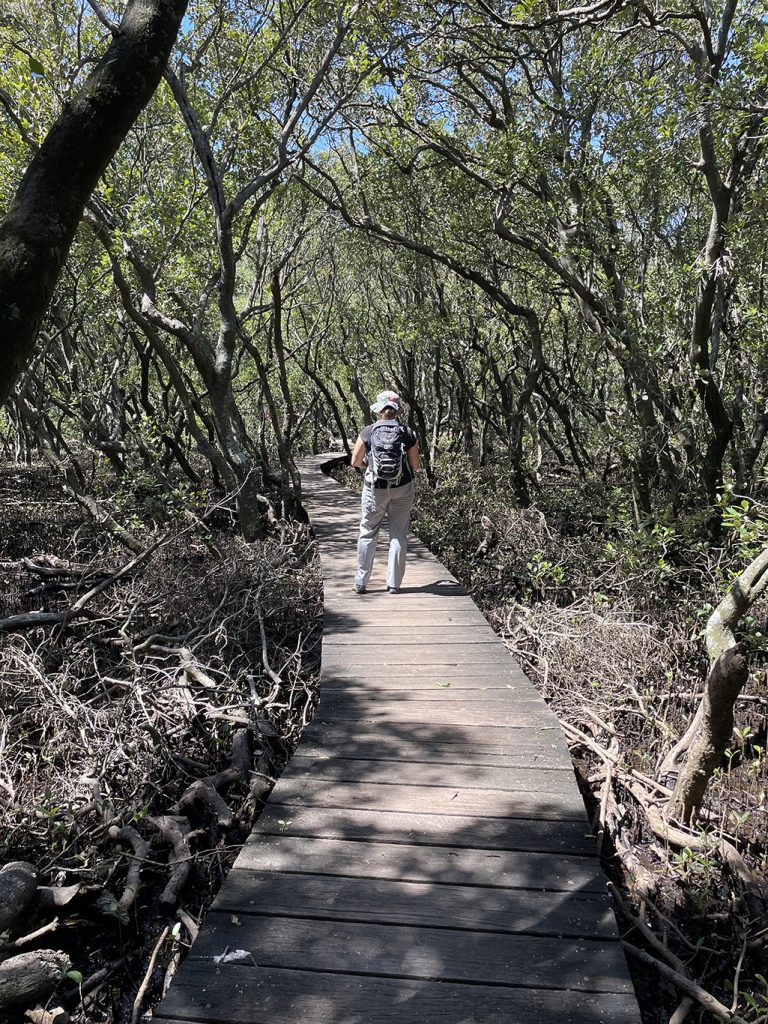
At the meeting point of the Lane Cove River and Buffalo Creek there is a viewing platform with views of the mangroves, sandstone rock formations and the Lane Cove River
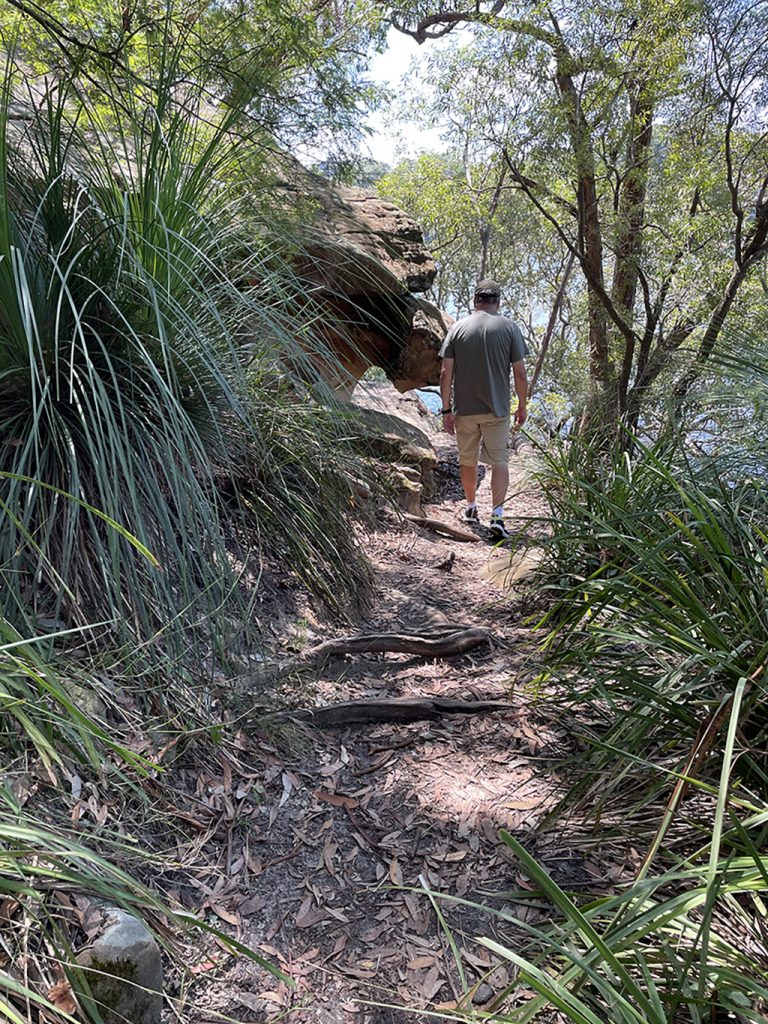
From suburbia into bushland
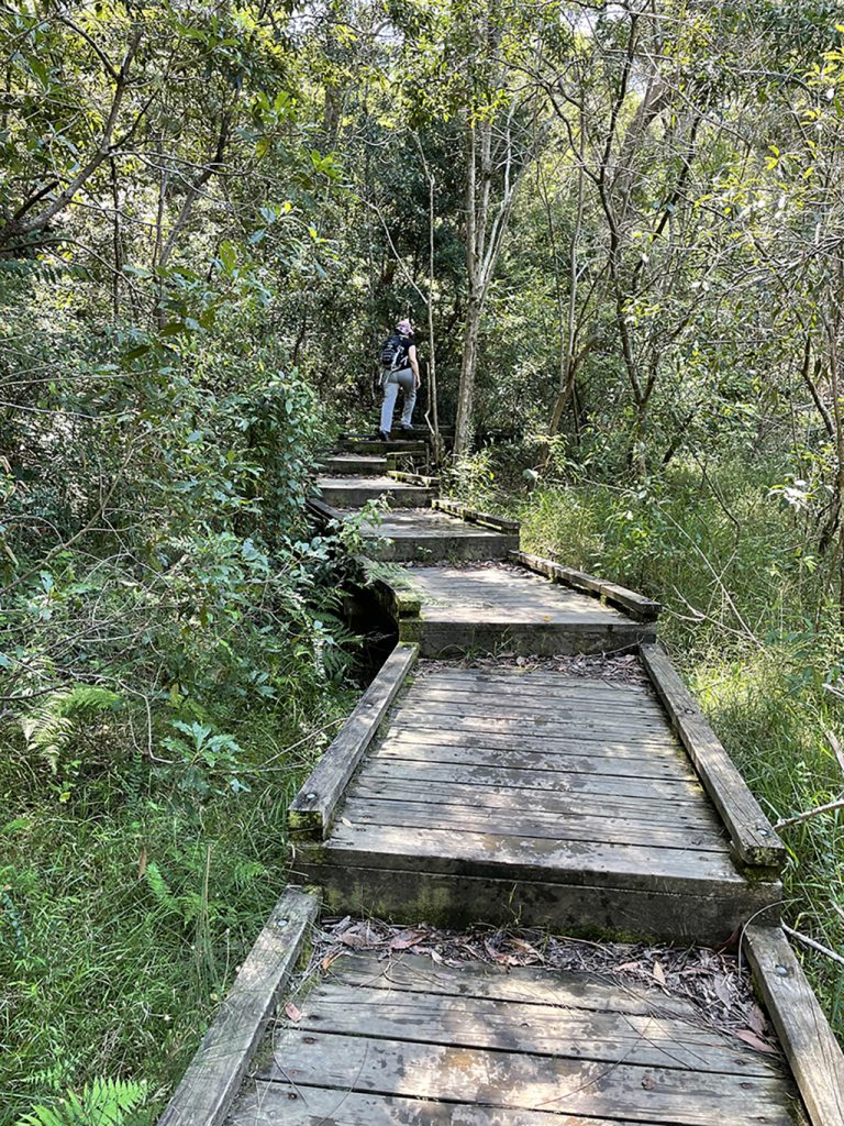
The end of the first ‘day walk’ section is at Boronia Park where there are toilets, and taps to refill water bottles. From here we turn right and go downhill toward the Lane Cove River again, which we will be following for the next few kms. At this point the street walking turned into bushwalking, exploring the mangroves, sandstone rock formations and ridges of the Lane Cove Valley. Note to self – switch from sneakers to hiking shoes when we do the next section.
Where the Lane Cove River and Buffalo Creek meet there is a mangrove viewing platform (with a bench to rest on). From here you follow the Buffalo Creek Track to Buffalo Creek Reserve. A great reserve, home to a large wetland, car park, large children’s playground, picnic shelters, BBQ’s, and another opportunity for toilets and town water on tap.
The walk crosses Buffalo Creek and follows the river up through Magdala Park, crossing the river via the 150m Clifford Love footbridge which takes you high over the National Starch Factory (who knew there was such a thing?) and out to Epping Road. Heading north along the footpath, walk across the main bridge span until you come to stairs that take you down under the bridge and continue following the river upstream.
We had left a car near the Metro Station at North Ryde and when we reached a sign for Fairylands Circuit we realised we had gone too far. A quick back track located the path that cuts up between the office buildings of Riverside Corporate Park and back to reality.
This post is not a comprehensive guide to the GNW, more resources for these walks can be found at http://www.thegreatnorthwalk.com
