Narrabeen to Curl Curl
Beaches and Headlands
Northern Beaches | 12km | moderate
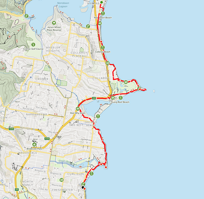
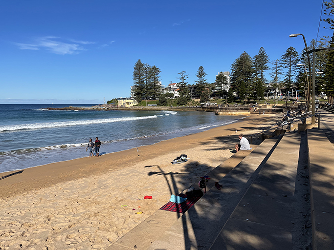
Chunk number four of the Sydney Coastal walk. We parked the car at North Narrabeen on Ocean Road, near where we finished last week. I forgot to turn on my gps for the first little bit so I have had to cheat and do some retouching on the map below, sorry. It is a lovely sunny day and we are going to step it up a notch and do some walking on the beach, alternating stretches of sand and road as out legs require. We will also try and do a few more km than we have been of late.
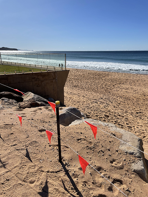
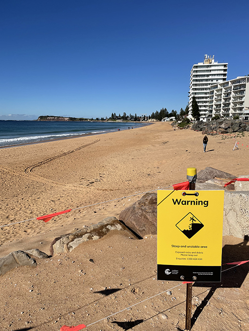
Narrabeen Beach turns into Collaroy Beach, I don’t know where the border is, but the erosion along this whole stretch is quite dramatic. The level of the sand on the beach is metres lower than where the beach-front houses sit. Piles of rocks and boulders have been brought in to try and stop the sea from encroaching into their yards and undermining their foundations. I think they might be fighting losing battle.
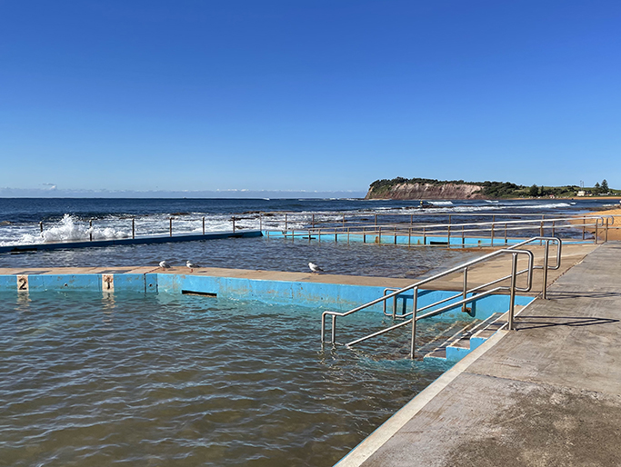
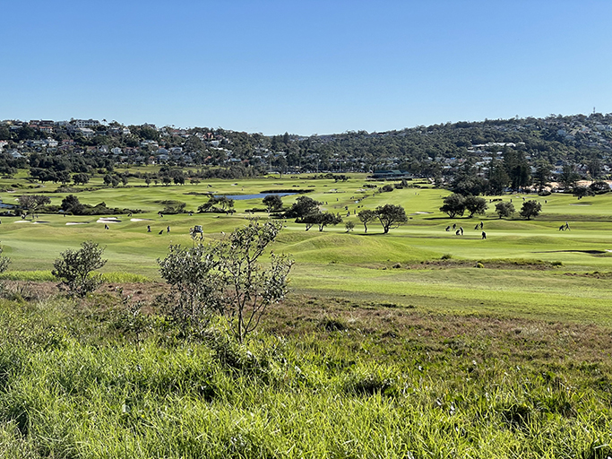
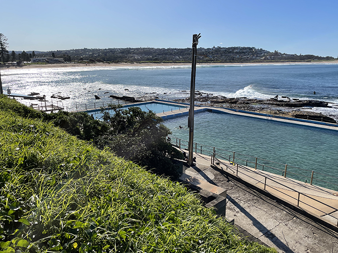
Past Collaroy SLSC, at the south end of the beach is Collaroy Ocean Pool and if you continue past the rock pool you can walk around the headland on sand and rock ledge. On the south side of the headland there are timber steps leading up to Fox park and through to Beach Road. At the end of Beach Road turn left towards Long Reef Golf Club and Fishermans Beach.
Fun Fact: Collaroy is named after a ship that was beached near Long Reef and was stuck there for three years.
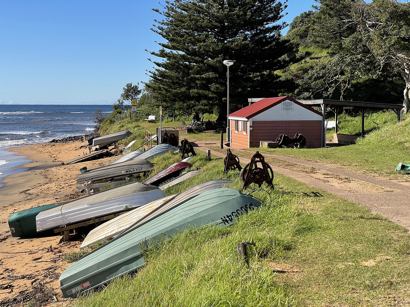
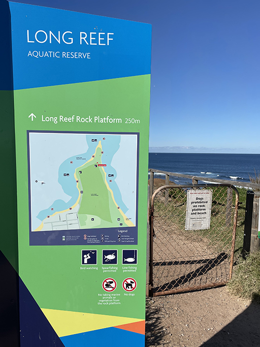
The golf club is a lovely place to stop for a drink before heading up and around Long Reef Headland. A very popular walk for families and puppy parents, the paved path around the headland runs past an old fishing hut before heading up the hill. This last remaining hut dates from the 1870s and is surrounded by a collection of rusting winches that were once used to pull fishing boats up onto the beach.
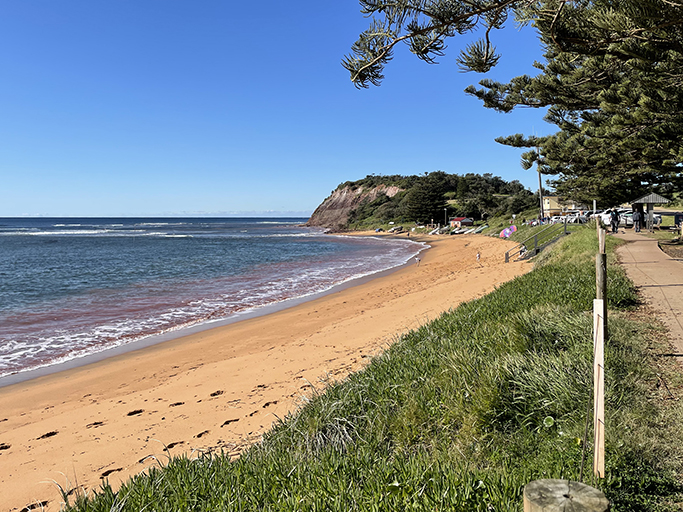
At the peak of the headland is a large lookout area, at the right time of year you can scan for whales, or explore the side track down to the aquatic reserve that surrounds the headland.
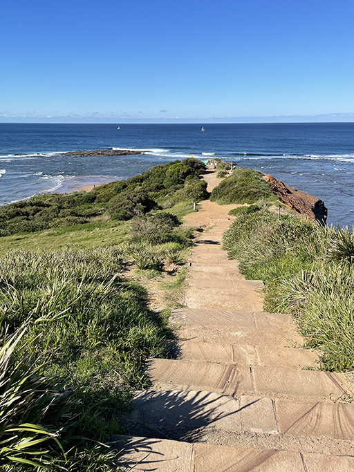
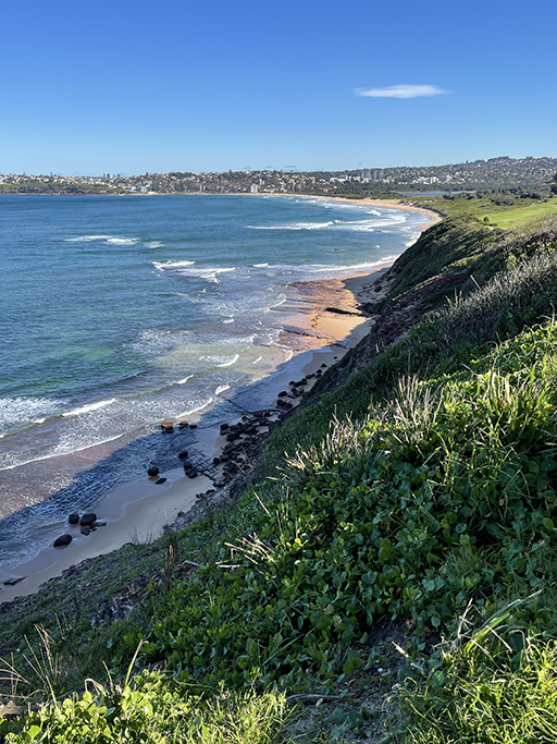
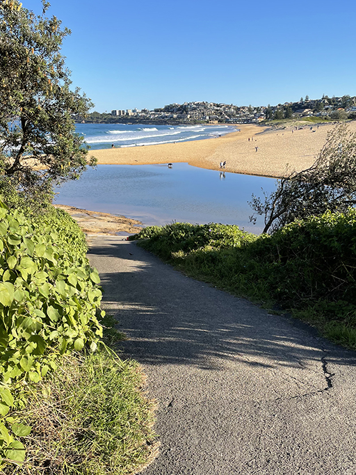
Keep following the track down the other side of the golf course to the carpark at Long Reef SLSC. From here you might be able to walk along the beach but depending on the tide and after heavy rain, the lagoon entrance may be open into the sea, and it can be difficult to cross. If you are able get across the lagoon entrance on the sand then about half way down the beach is a path through the Dee Why Lagoon Wildlife Refuge which will bring you out near Dee Why SLSC.
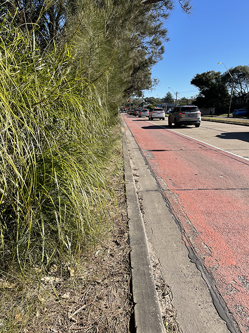
From our vantage point on the headland, it looked like we weren’t going to make it without taking our boots off, so we opted for the road instead. To get around the lagoon is quite a detour. Along Pittwater Road for about 1.5km with traffic whizzing past. There isn’t a lot of walking space on the eastern side of Pittwater Road and in hindsight we should have crossed to the other side of the road where there is a footpath. But there are also no official crossings nearby so that presented its own risks.
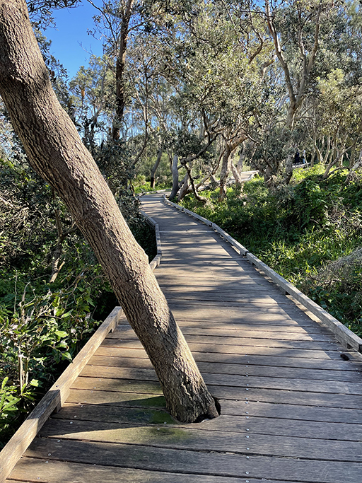
Once you get past the Lagoon it is a lovely walk down to the beach. The path meanders through the reserve, skirting around the back of the residential area and coming out behind Dee Why Beach on The Strand. An assortment of cafés, public toilets and water refills are available here as well as a large grass area to rest on if required.
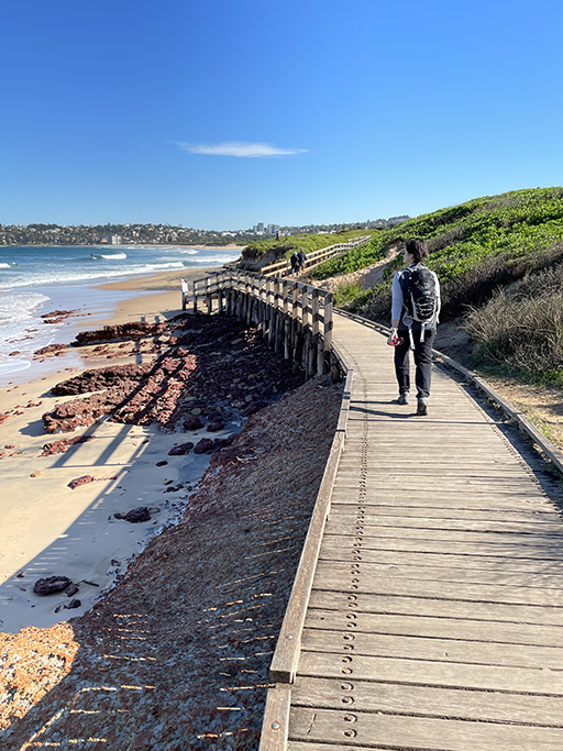
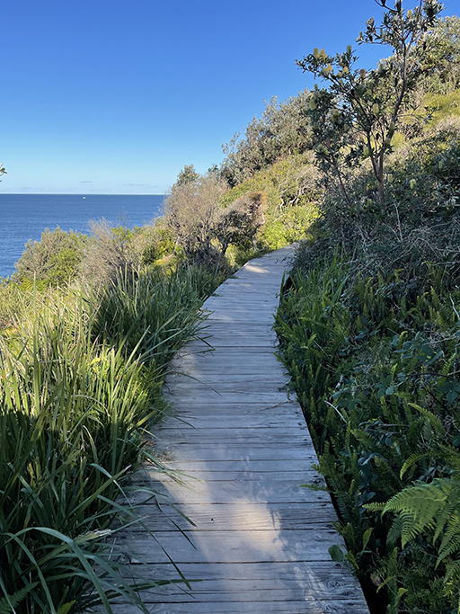
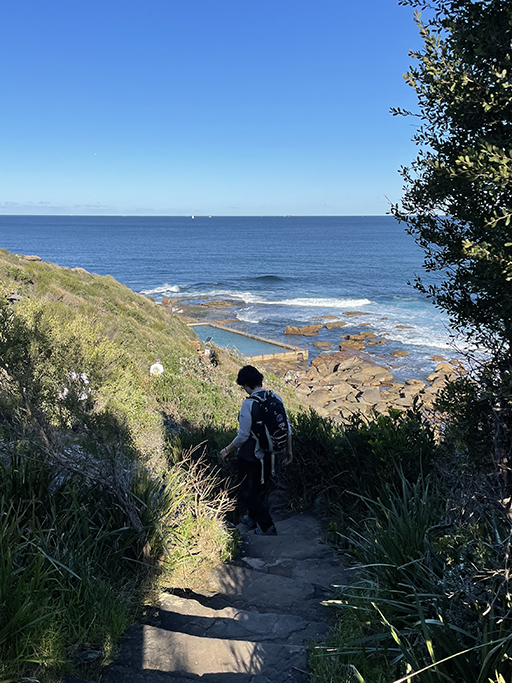
At the south end of the beach is the obligatory ocean pool and a couple of options to get up to Oaks Avenue to continue the walk around Dee Why Headland. At the top end of the one-way carparking area the path goes to the left and follows the top of the cliffs, between the houses and the sea. This is a lovely track, well-trodden, but a bit rougher in places. Bits of board walk interspersed with some natural rock steps and the occasional tree roots to navigate. There are a couple of lookouts along the way and a spectacular view over Curl Curl Beach from Ghania Lookout on the southern side of the headland.

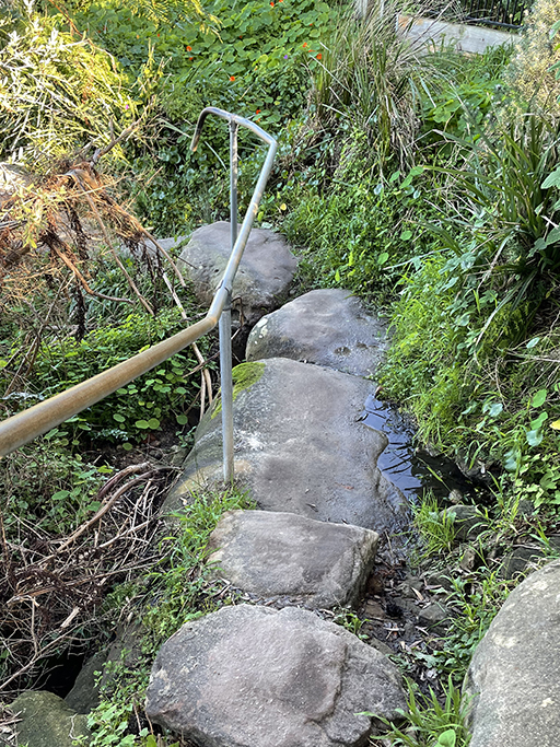
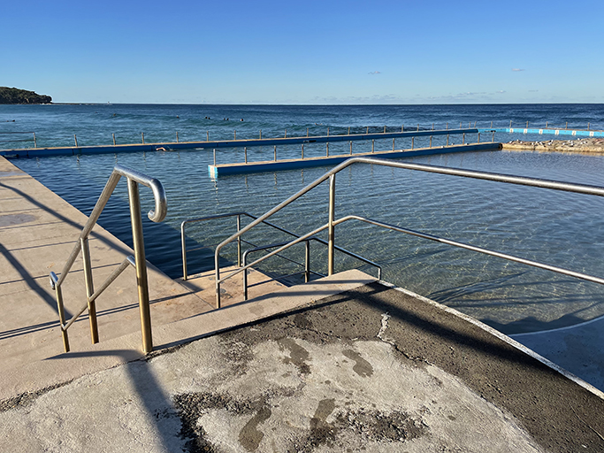
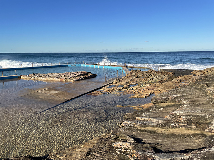
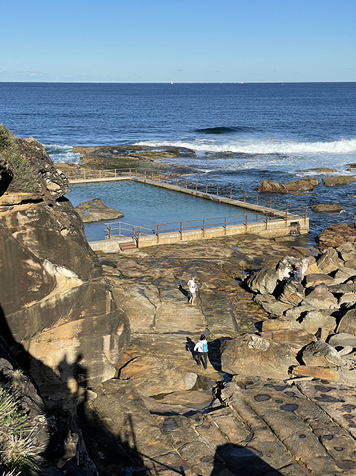
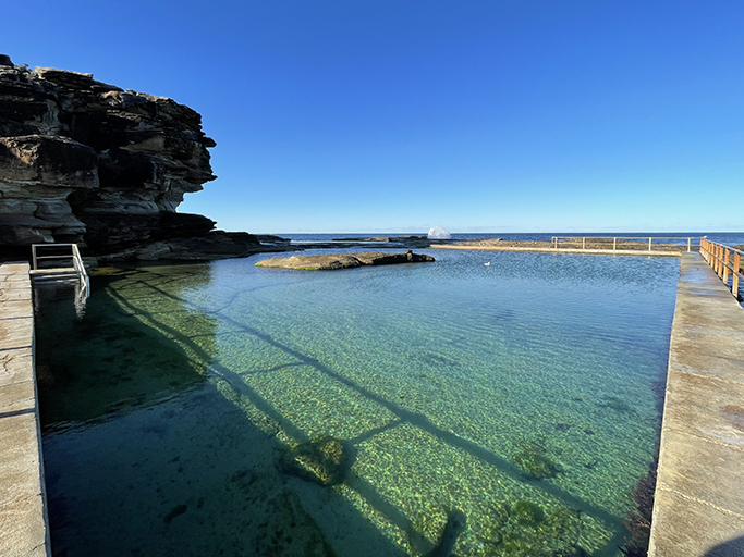
The track forks and to the left is a side trip to Curl Curl Rock Pool, my favourite so far. The stairs down to the rock platform look a little daunting, but they aren’t too bad, and the surface over the rock platform to get to the pool is quite uneven. I think what appealed to me was its relative isolation. Many of the ocean pools we have seen so far are easily accessed and therefor more popular, this felt more natural, surrounded by waves and tidal pools inhabited by anemone’s and periwinkles. Snugged right in under the cliff the pool is the most beautiful turquoise blue.
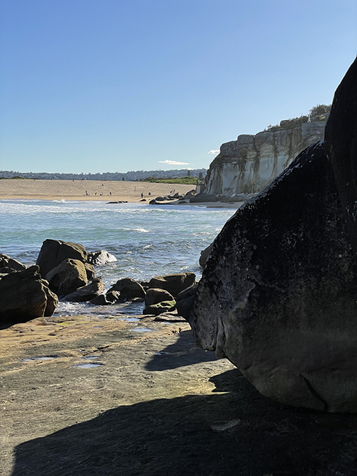
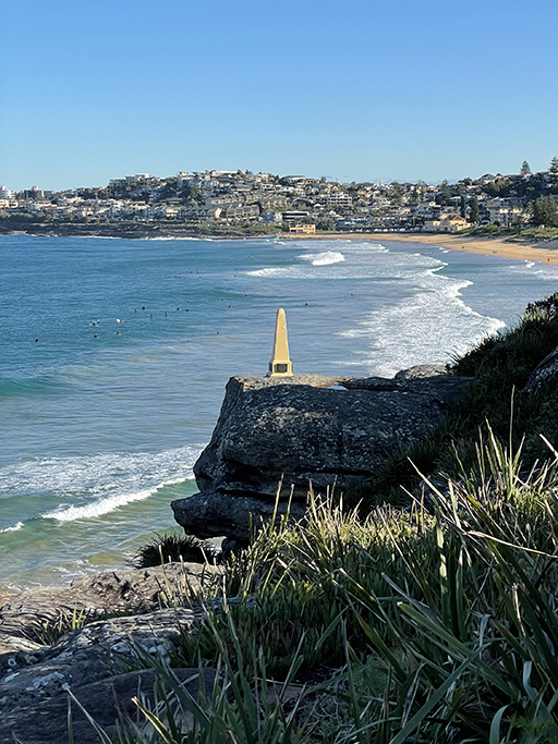
Back up the stairs and continue along the track past The North Curl Curl Beach obelisk, place here in 1917 to commemorate 10 local servicemen who died in service during World War One. From here we can see that the Harbord Lagoon entrance is currently blocked and we will be able to walk across on the sand. The track comes out in the carpark for the North Curl Curl SLSC and just past the club building is a driveway leading down to the edge of the lagoon.
Walk along the beach or take one of the many tracks through the dunes into the reserve. At the south end of the beach you will pass the South Curl Curl SLSC and the last rock pool for the day. As much as we would have liked to reach Manly today, time is against us and we decide to call it a day.