Nicols Gorge
Time for some amateur spelunking
Kosciuszko National Park | 7km | moderate
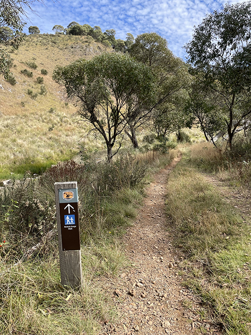
Starting from Blue Waterholes camp area this walk is not as spectacular as the Clarke Gorge walk but is still well worth while with some fascinating caves to explore and stunning views over the high plains. It is a circuit walk which unlike Clarke Gorge does not involve you getting your feet wet. The track is well sign-posted with information boards giving geological and historical information about the area.
As soon as you get to the creek you find your first, all be it small, cave to explore. Just a hop, skip and a jump over the steppingstones you can climb into the cave entrance and squeeze through a narrow slit to pop out and wave to your friends on the other side of the waterhole.

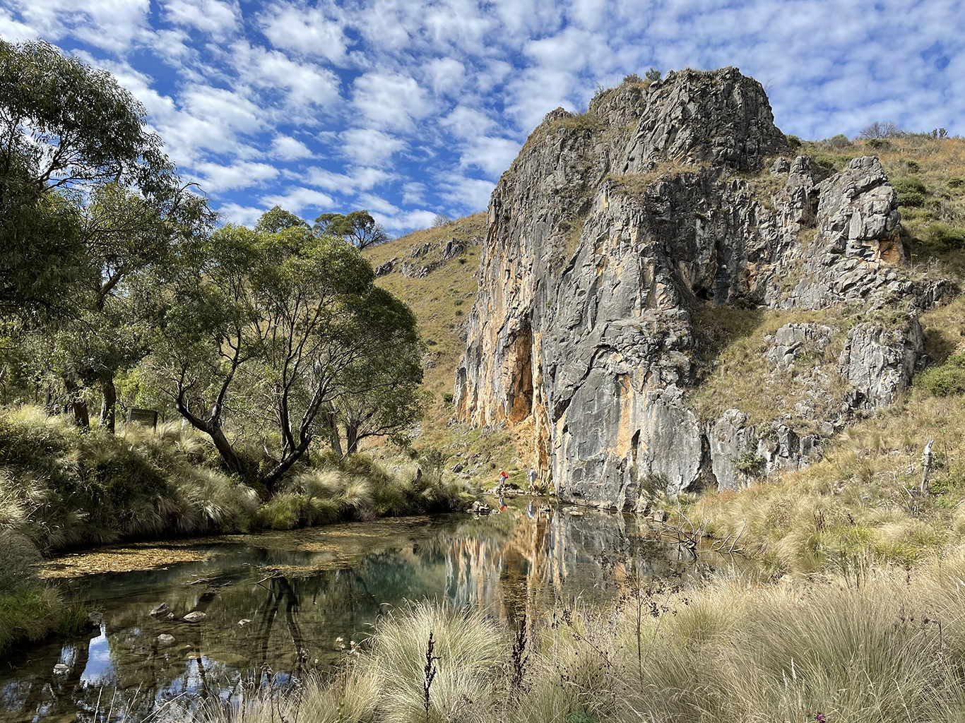
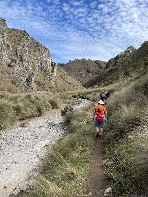
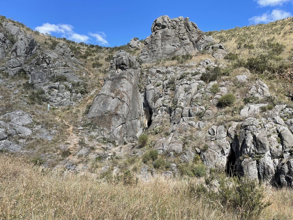
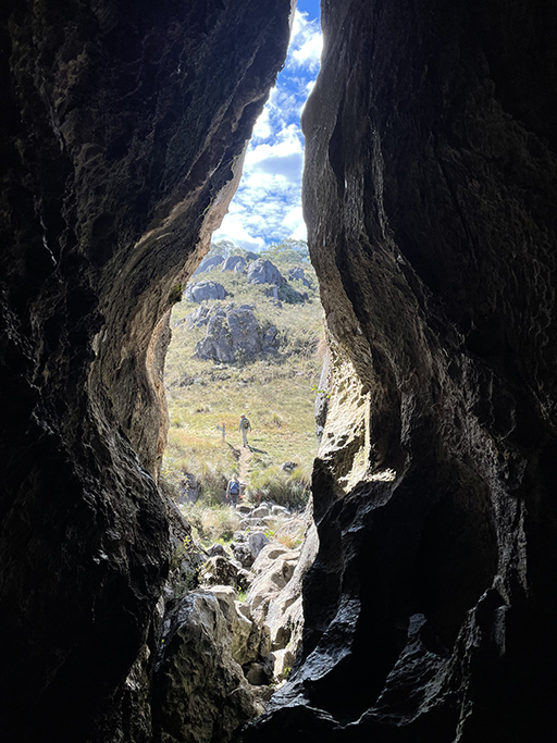
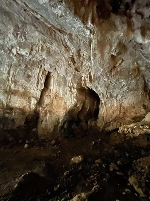
Back over the creek the trail heads upstream, along what is now a dry creek bed, through the long grass and then curves to the left into Nicols Gorge. The wide gorge is flanked by limestone cliffs and soon you will see the opening to Cooleman Cave. Caves Creek intermittently flows with water fed from underground and Cooleman Cave was once the outflow for water that now surfaces at Blue Waterhole. If you have a good torch you can explore the passage off the main cave, it can get a bit muddy and slippery so take care.
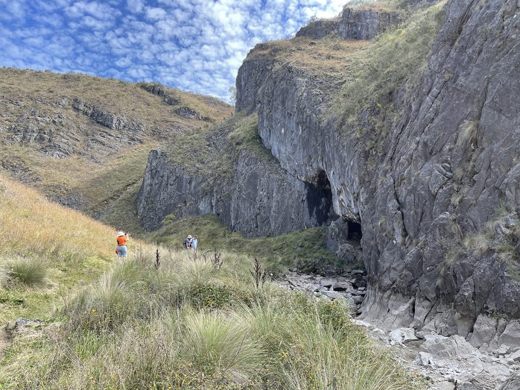
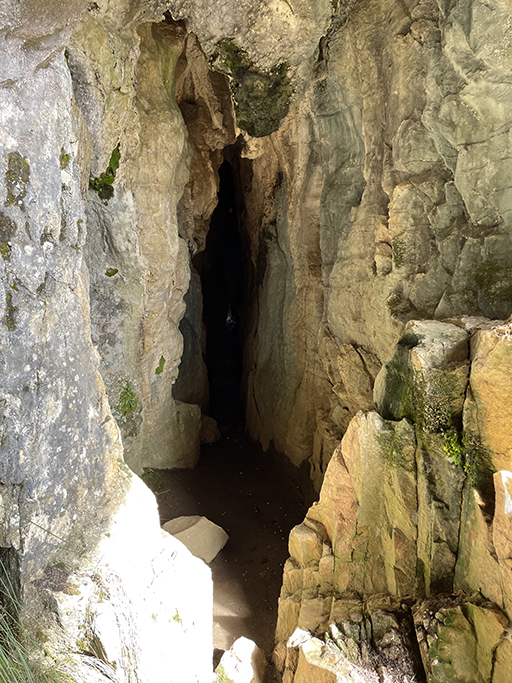
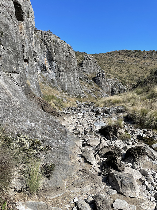
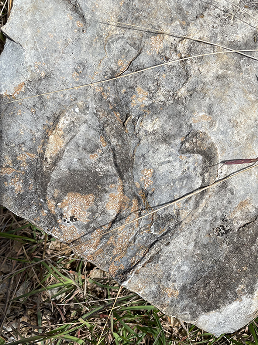
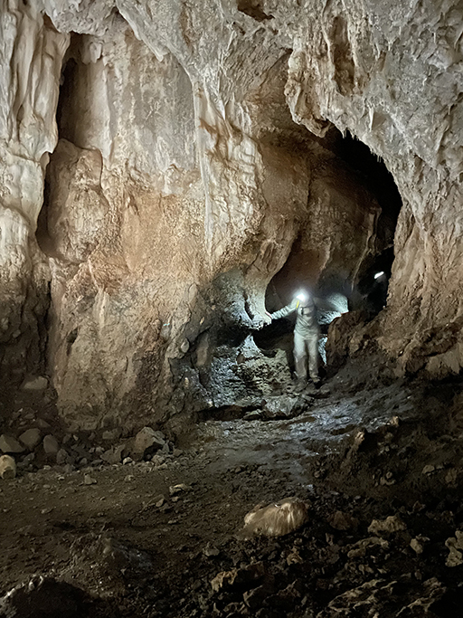
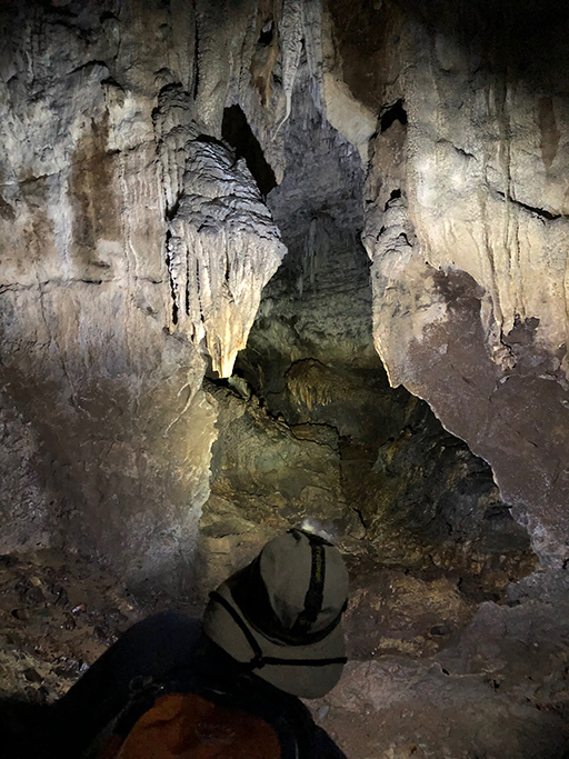
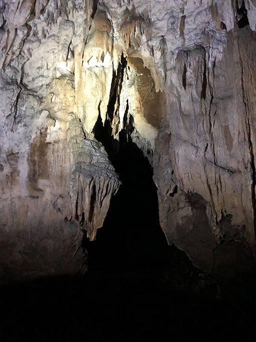
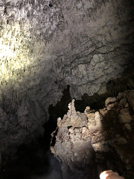
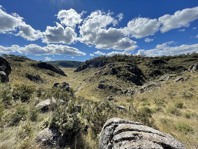
Back out in the sunshine continue up Nicols Gorge, following the dry creek and keeping a lookout for ancient, fossilised shells in the rocks. Every now and then the creek flows again as it reappears and disappears underground. The second cave is Murray Cave where a narrow keyhole entrance opens into a decent size cave. It was lovely and cool in here and we stopped to sit on the rocks and have our lunch. There are two passages to explore in Murray Cave. One is 200 meters long and ends in a siphon pool or water trap. Apparently in extreme drought the pool dries up and the passage extends another 300 meters. This has only happened three times in the last 100 years, but when it does inscriptions have been found on the walls dating back to 1903. There are some cool formations in this cave, although you can see where they have been damaged by people taking souvenirs, which was quite common last century. The second passage at the back of the cave is shorter and requires a more adventurous spirit as it soon becomes quite tight.
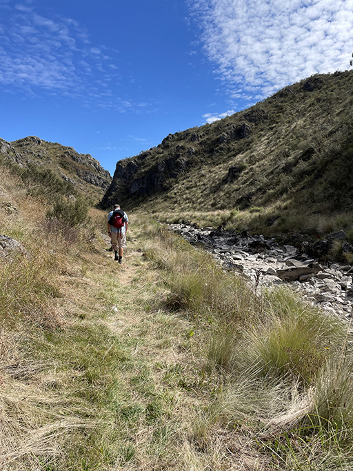
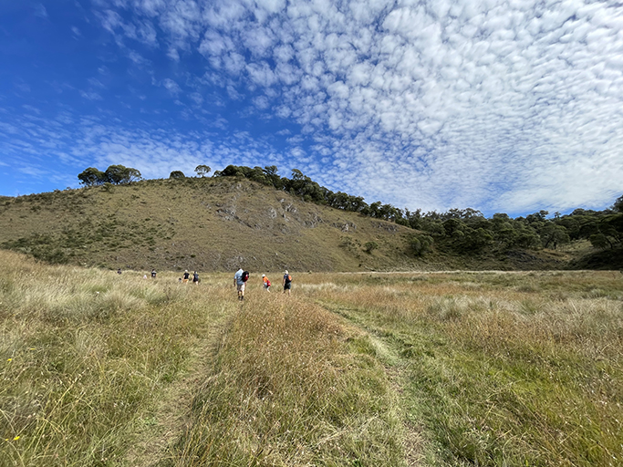
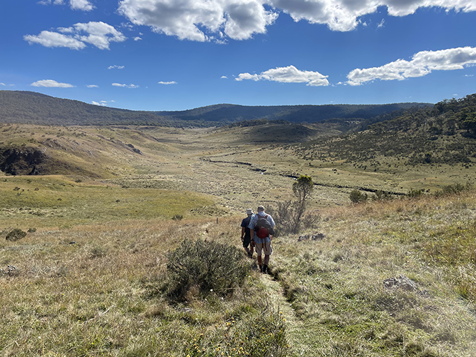
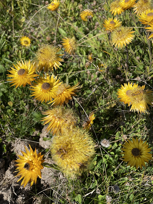
When you have had your fill of caving, you can go back the way you came or continue across the plains for the circuit walk. I was glad we opted to do the circuit; the wide-open plain was beautiful. After you exit the cave head up the hill to the left of the entrance. The long view of the limestone gorge as you climb the hill is stunning and once you get to the top the scenery is quite different from what we have seen so far. The narrow trail crosses snow grass plains surrounded by the wooded slopes of Gurrangorambla Range and Tom O’Rourkes Peak. Brumbies grazed in the distance and kangaroos bounded through the tall grass. Paper daisies and other wildflowers stretched for as far as you can see.
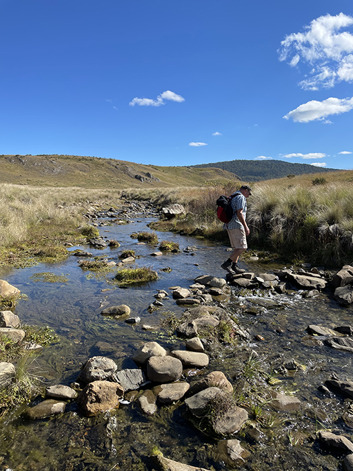

The track curves over the plain until it meets Caves Creek again and follows it back toward the camping areas. Eventually the trail comes out at Magpie Flats, just above Blue Waterholes camp area, just follow the road downhill back to where you started.
