Patonga to Woy Woy | GNW
The Great North Walk
Patonga Beach to Woy Woy | Approx. 12.5km | 4 Hours | Hard
The official Great North Walk arrives at Patonga by ferry, from Brooklyn, unfortunately as far as we could work out that ferry service no longer runs so we had to make alternative plans. We contemplated hiring a water taxi or swimming across but thought better of it. We ended up leaving a car at the end of Dillions Trail, near the Woy Woy Waste Management Facility, and my husband dropped us off at Patonga Beach. This is one of the most isolated suburb on the NSW Central Coast, surrounded by Brisbane Waters National Park. With a couple of café/restaurants, an art gallery, camping ground and not much more, it just exudes peace.
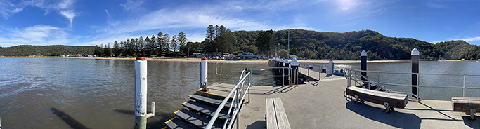
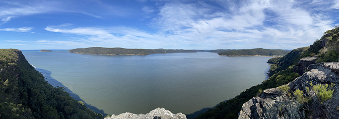
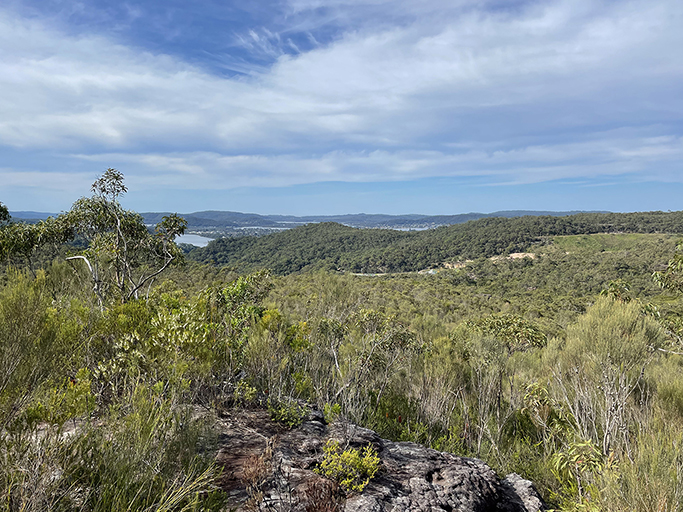
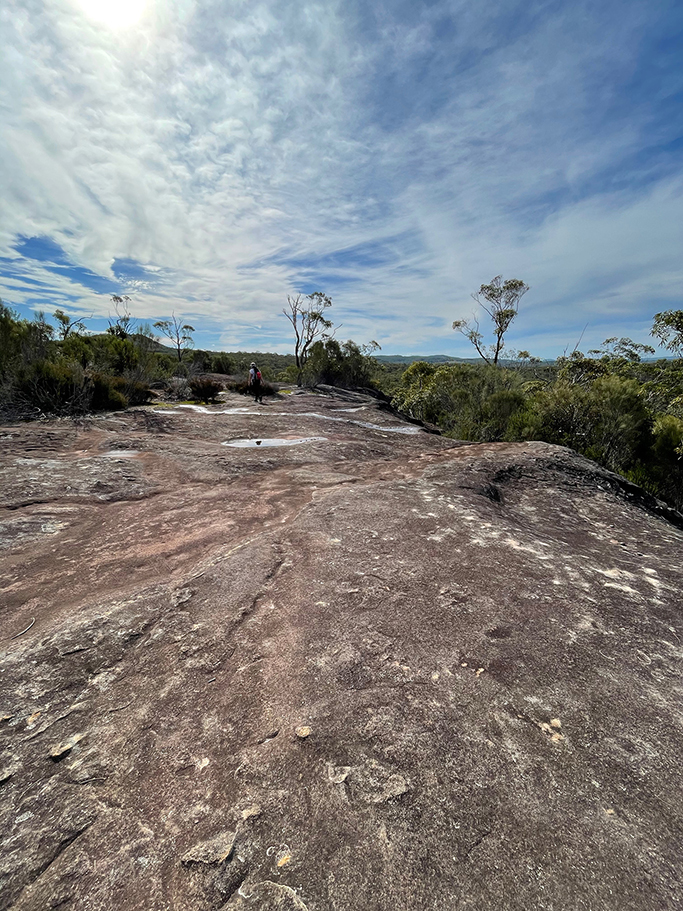
Wanting to stick to the GNW trail as much as possible I made J walk out to the end of the ferry wharf to start our walk today. Turning to the right along the sand we head up to the end of the beach and the trail up to Warrah Lookout. This is a fairly strenuous uphill but when you reach the lookout at the top of the cliff the views make it worthwhile. From Palm beach to the left, past West head and along Cowan Creek, back to Patonga on the right.
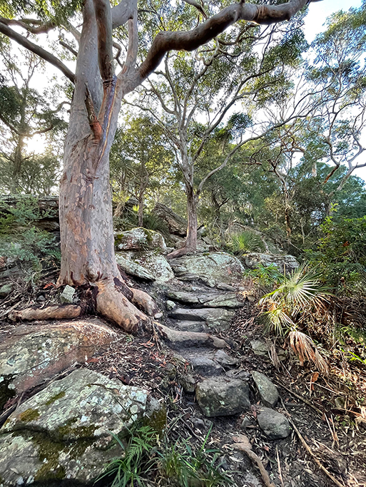
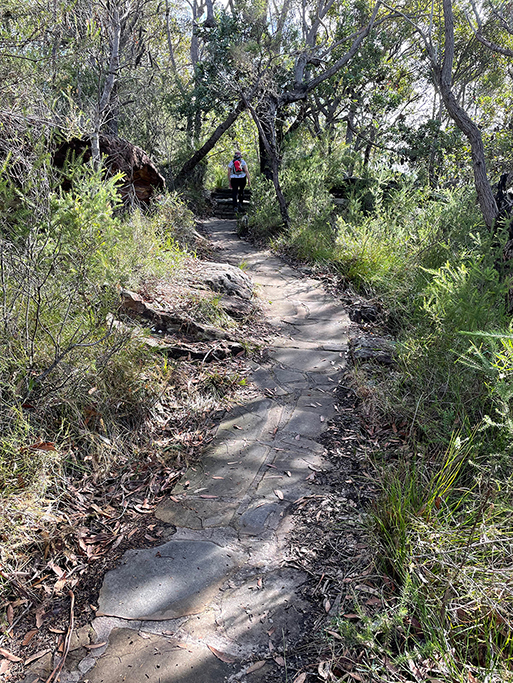
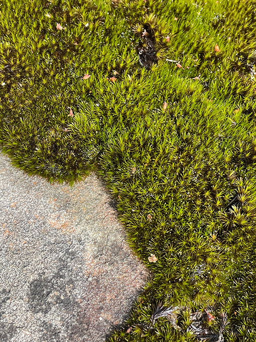
Leaving the lookout and heading across the fire trail you will find a nicely paved sandstone path up the hill, at the top you come to a set of stairs leading to Warrah Trig Station. No longer in use, there are many of these ‘triangulation stations’ around Australia which were once important for surveying. From the trig station the path goes through the carpark and along the fire trail until you meet Patonga Drive, just before Patonga Drive, to the right, is a small track which you follow for about 250m before crossing the road and going through a locked gate, down another fire trail for about 4km. This section of track goes through patches of lovely scribbly gums and red gums, and is quite steep in some parts.
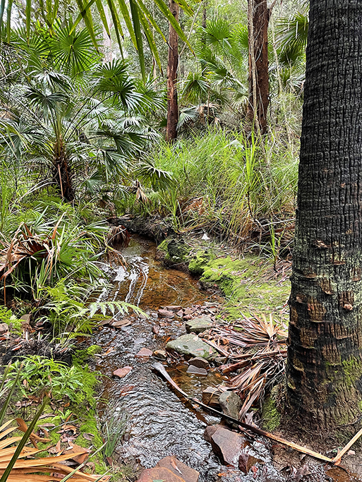
The point where you leave the fire trail is marked with a warning sign, as the trail continues into the back of the quarry and land fill facility. Turning to the left though, takes you around the back of the facility and down to Patonga Creek. We stopped to take some photos here before heading up what has now become a bush walking track. As we reach the top of the hill we can see out over the quarry and landfill to our right, we can almost see where we left the car. It seems a little disappointing that the track turns away to the left and we have to walk another 2 km in the wrong direction before meeting Dillions fire trail which will take us down to the end of our walk for today.
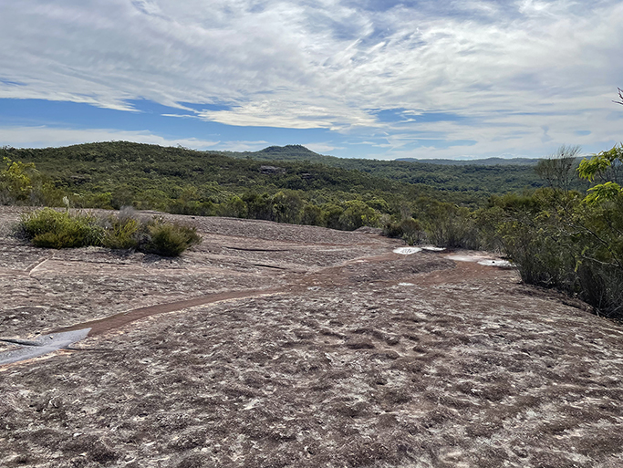
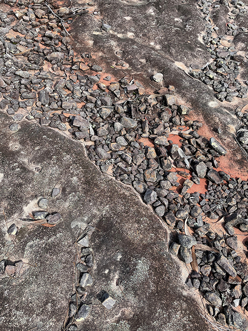
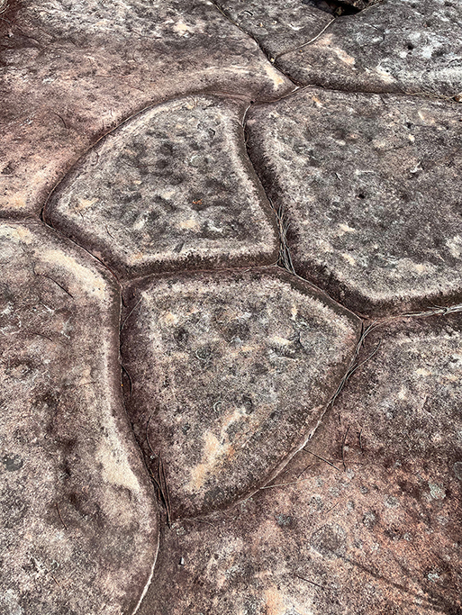
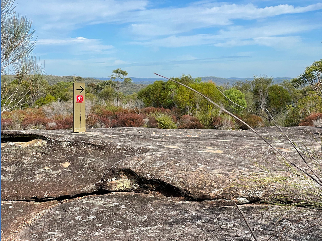
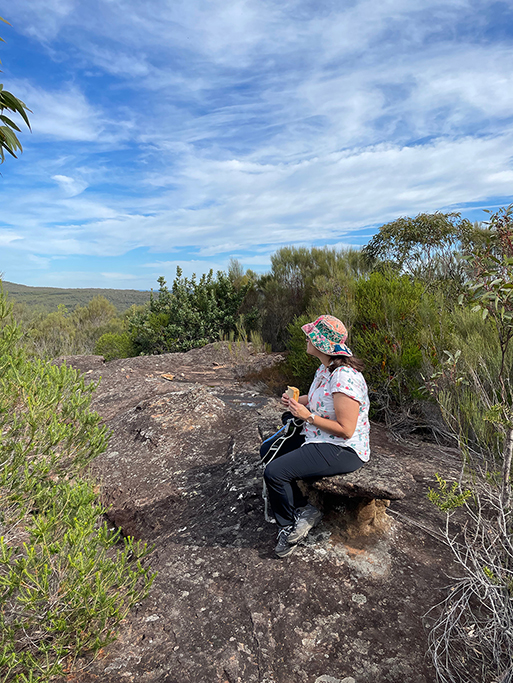
This last section of track goes up to, and across, a flat rock platform where we find a nice spot to stop for some lunch. There is a great natural carved bench for us to rest on and while we are sitting I discover that I picked up a hitch hiker on my ankle when we stopped to take photos at Patonga Creek – my first leech bite. He hadn’t got too much of a hold yet so was easy to remove but the bite stayed itchy for many days afterwards. Must remember to pack some salt in my backpack for future adventures.
This post is not a comprehensive guide to the GNW, more resources for these walks can be found at http://www.thegreatnorthwalk.com
