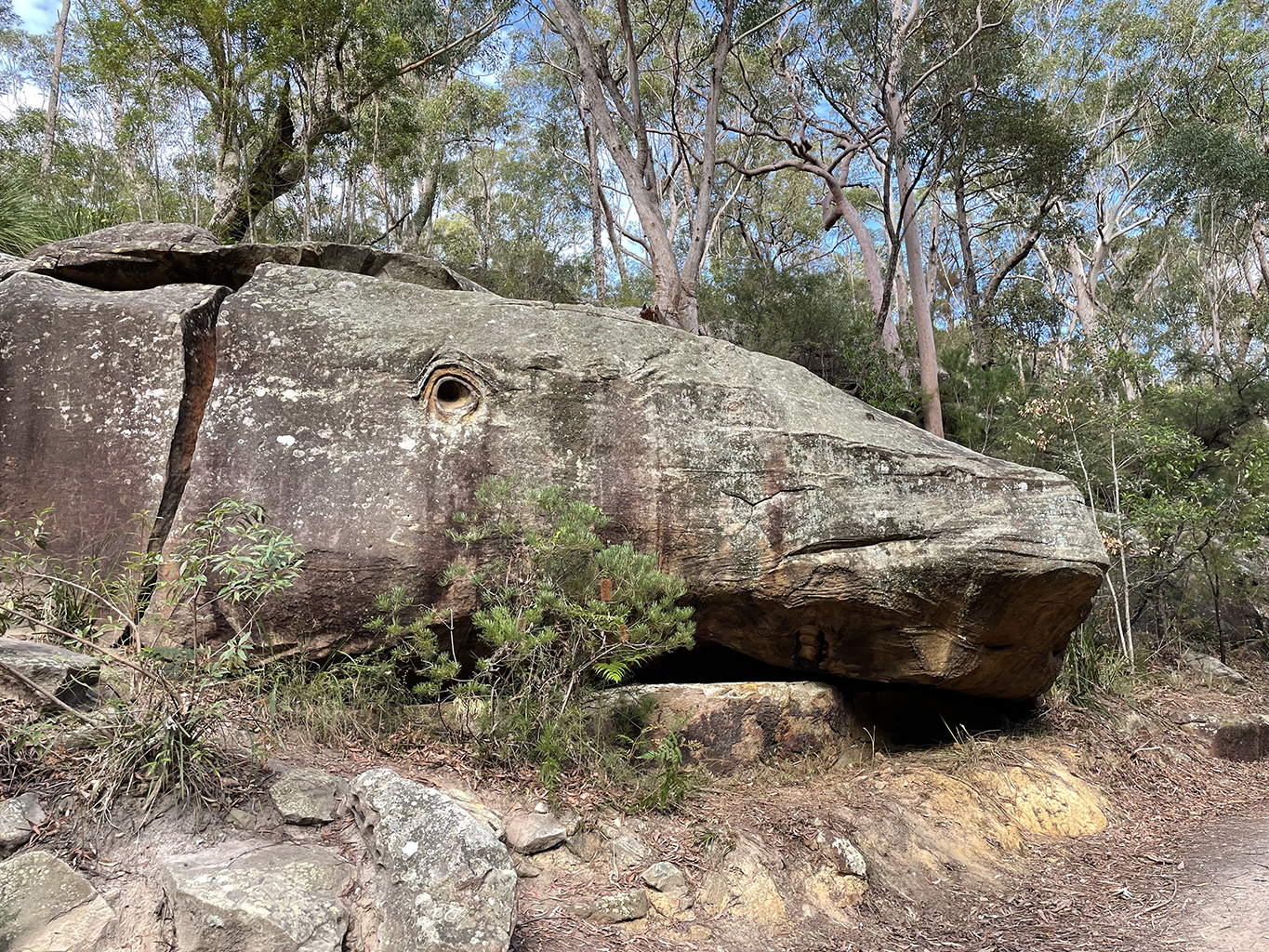
Whale Rock
Browns Waterhole, Epping Station Loop
South Turramurra | 10 km | 2.5 hours | medium grade
With a change in in the Sydney lockdown restrictions Jen is no longer able to leave her local government area so our walks together have come to a temporary end. I have a new walking buddy today, she is quite keen to get out of the house and see a bit more of the local bush so we are heading into Lane Cove National Park.
This walk is listed on Wildwalks as Epping Station Lane Cove River Loop and is one of a several tracks that pass Whale Rock. I have been curious to see Whale rock for a while, it is quite local and yet I have never had the pleasure. We have decided to start from the other side of the loop at South Turramurra as it is closer to home for us. We park out cars at the end of kissing point road and set off down to Browns Waterhole.
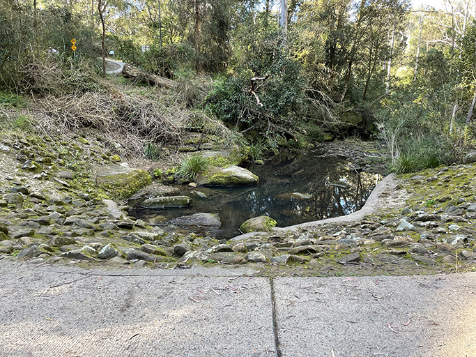
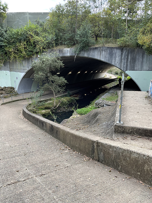
Browns waterhole is a shallow section of The Lane Cove River with a weir. A walking/cycle path goes over the top of the weir and can become impassable after heavy rain. This pathway from Kissing Point Road through to Vimiera Road Macquarie Park is a popular commuter route.
After crossing the weir we head up the hill for a short distance until we reach Terry’s Creek Track on the right. This track follows the creek south passing under the M2 motorway and Epping Road. If you continue to follow Terry’s creek it will take you to Eastwood but we turn left just after going under the second road bridge and do a loop back onto Epping Road. There is a sign here with a map of the local walks which managed to confuse us a bit as it is oriented the wrong way. Where the arrow to Epping Station pointed to the left we actually had to go to the right, heading west along Epping Road. Maybe they should consider turning the map up the other way.
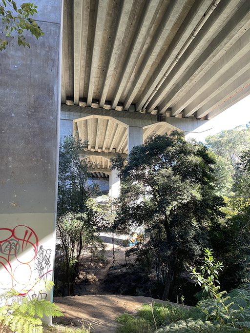
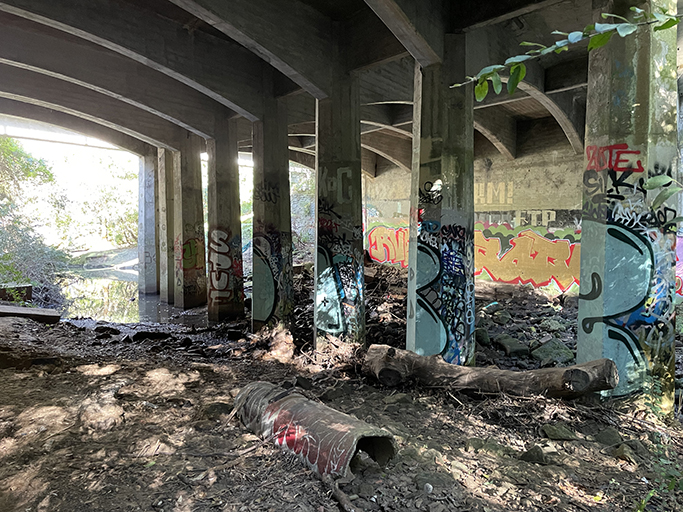
Back in suburbia we follow the footpath back over the creek where it veers left onto Pembroke Street and heads gently up the hill. Crossing Epping Road at the lights we continue up until we reach Epping Train Station and turn right down Oxford Street. There are a number of shops here where you can buy food and drink if you need refuelling. Continue down Oxford Street and as my GPS would say ‘at the second roundabout take the second exit’. At the bottom of Derby Street the path leaves the road and dives back under the M2 and back into the bush. There are actually 2 paths under the road bridge and to get back down to Lane Cove River we follow the one on the right hand side of the creek.
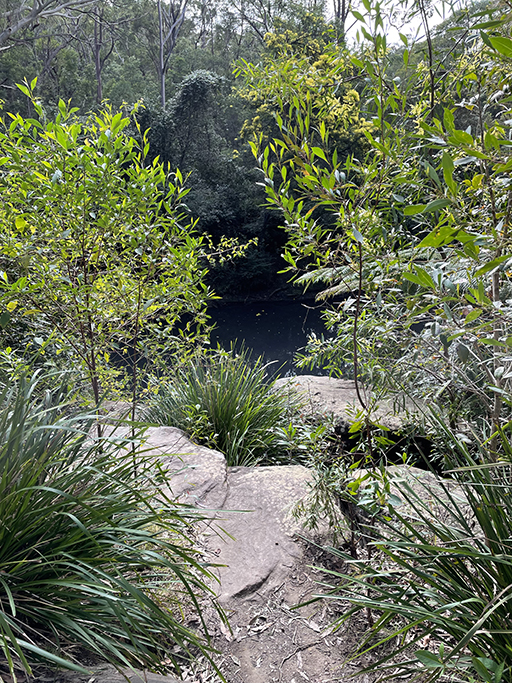
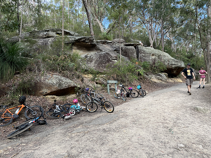
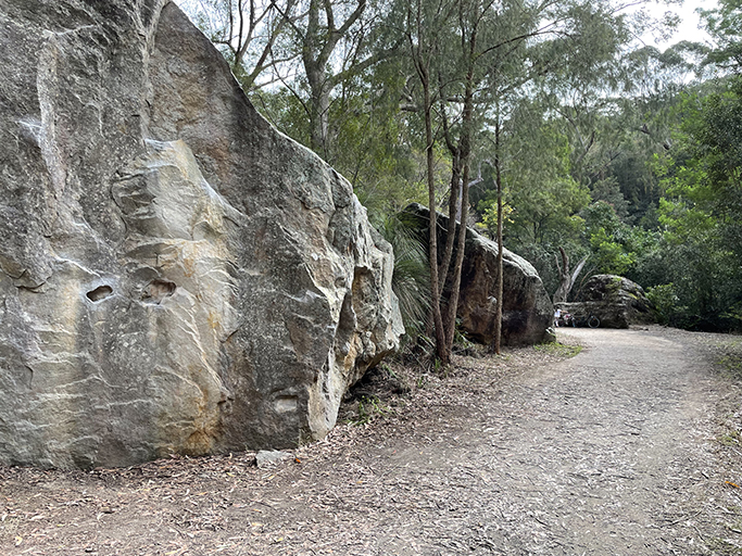
The bush track follows Devlins Creek back into Lane Cove National Park eventually meeting Belinda Crs management trail and then Cheltenham service trail. At the intersection of Devlin’s creek and Bytes Creek we follow the Whale Rock sign. The service trail loops around the top of Big Ducky waterhole, and at the bottom of Boundary Road Fire trail we find the rock. It really does look like a whale.
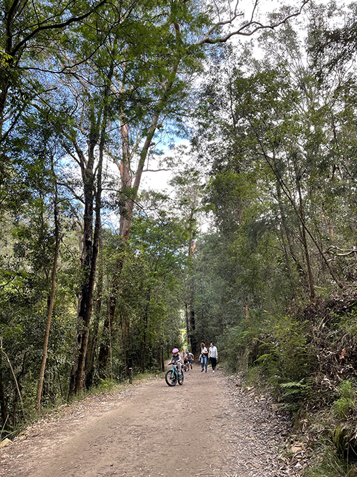
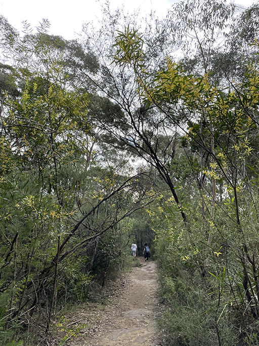
The track has been quite busy, lots of families out with the kids, particularly along these fire trail sections which are great for riding bikes.
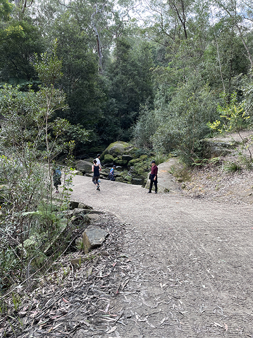
Kids are having a great time climbing on the whale and surrounding rocks while parents look on.
It is great to see so many people out enjoying Sydney’s bushland but I have to wonder about the lack of social distancing.
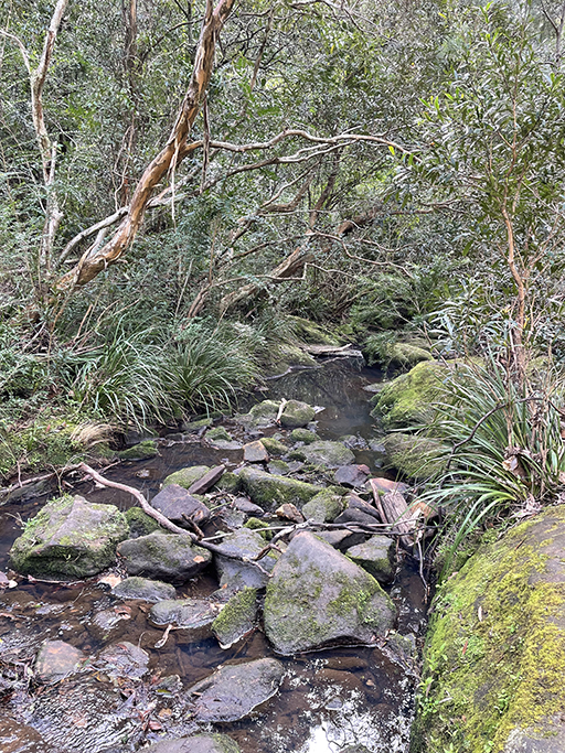
After admiring Whale rock we leave the crowd and continue our walk. The trail winds down into the valley crossing Devlins creek several times before meeting the Great North Walk trail along Lane Cove River. Following the sign to the right toward Lane Cover River Park the trail takes us back to Browns Waterhole and we turn back up the hill to our cars.