Burning Mountain
4km return | moderate
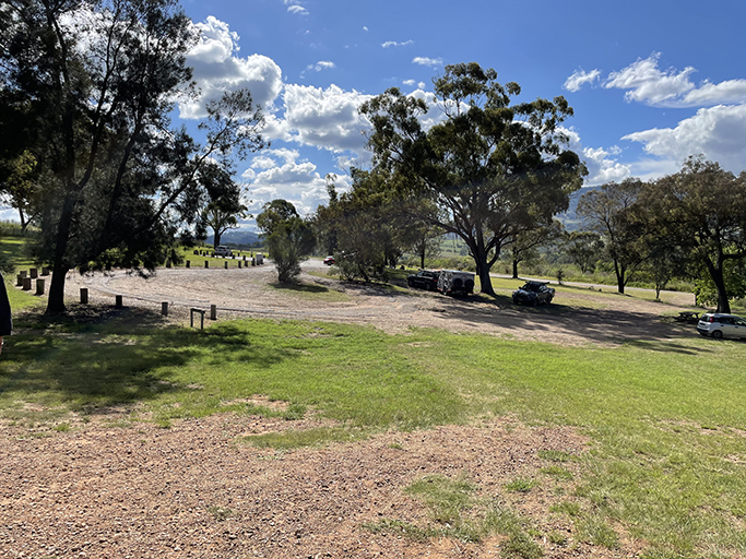
Burning Mountain Nature Reserve is just off the New England Highway near Wingen. It’s official name is Mount Wingen and it is a great place for a break on your way north. The reserve has toilets and information boards about the geology and cultural history of the area. Camping is also allowed in the reserve if you are in need of a longer break before you head on.
According to aboriginal tradition burning mountain is the fiery tears of a woman who lost her husband in a great battle. She was devastated and asked Biami, the sky god, to take her life. Instead, he turned her into stone, and her tears became fire and set the mountain alight for all eternity. This Wingen maiden can be seen from a vantage point along the walk, keep an eye out for the sign explaining the legend.
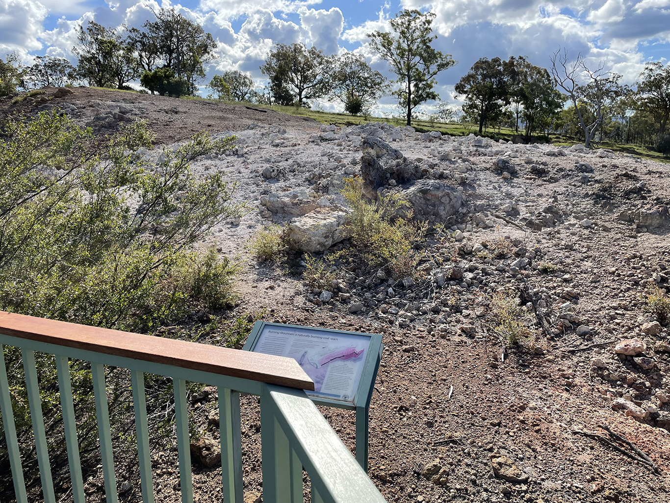
Scientifically, Burning Mountain is a slowly combusting coal seam. It is about 30m below the ground, and heading south at about 1m each year. It’s has been burning for about 5,500 years, and as it eats through the coal, rocks slip into the gaps, causing fissures and slumping at the surface level. The fire sizzling below ground has dramatic effects on the vegetation above ground, red gums growing along subsidence cracks give way to narrow-leaved stringy bark, tea trees, and stunted grey gums.
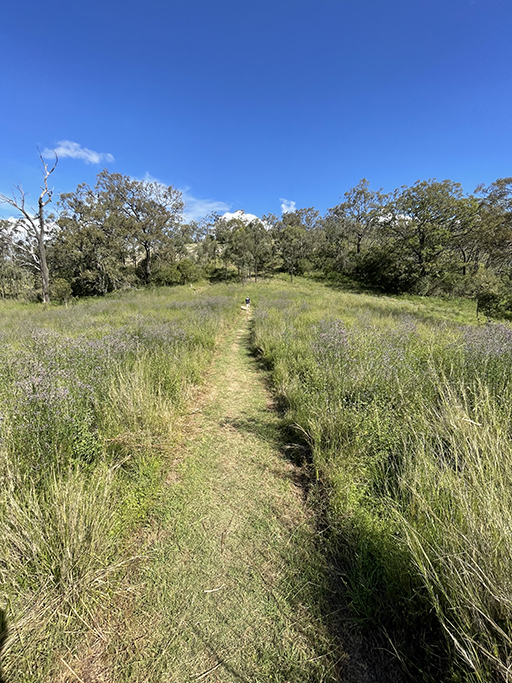
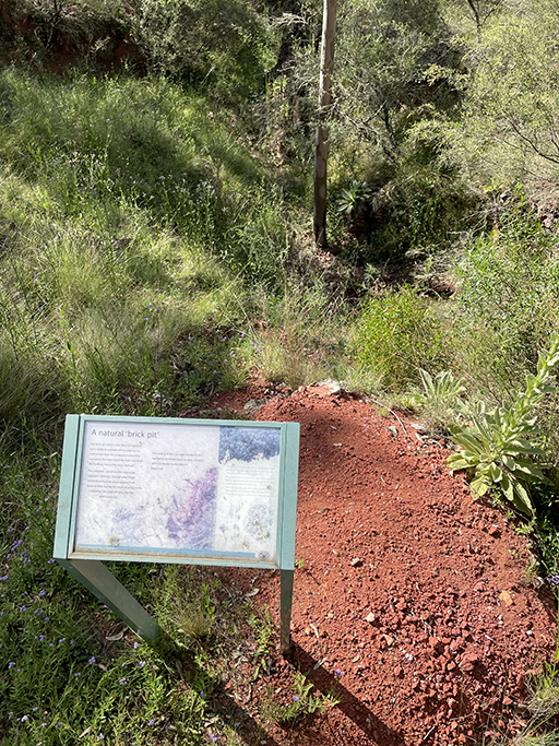
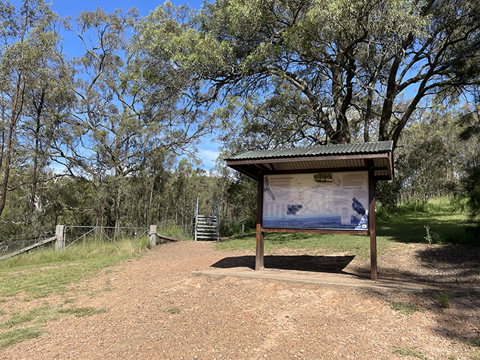
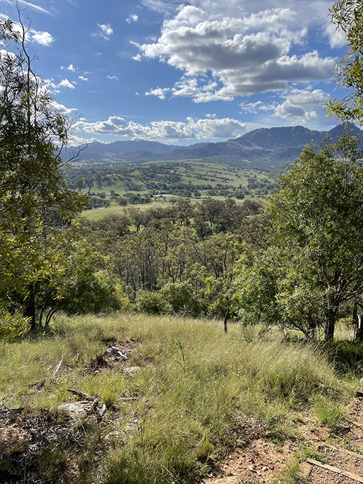
Starting from the reserve the walk zigzags gently uphill, offering some lovely views through the valley. Information panels are dotted along the track, along with welcome benches to rest on. The path crosses a gully known as the ‘brickpits’ where clay stones have been baked into brick-like shapes. It is thought that indigenous inhabitants used these hard stones to make weapons. The dark brown soil marks the edge of the basalt produced by volcanic lava.
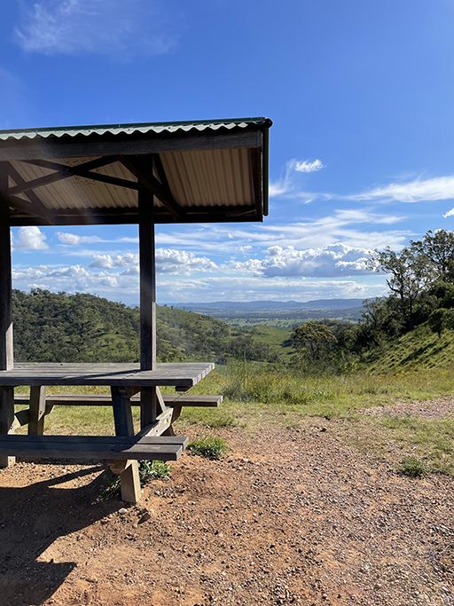
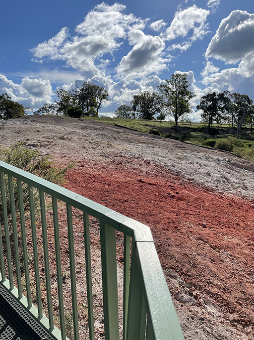
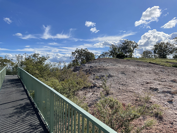
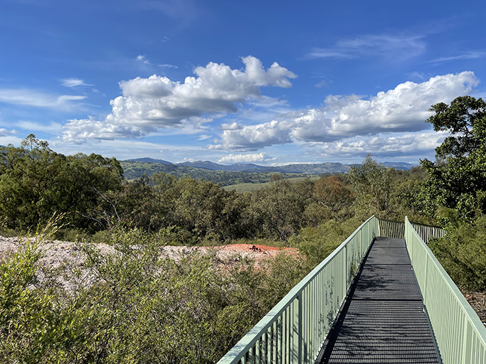
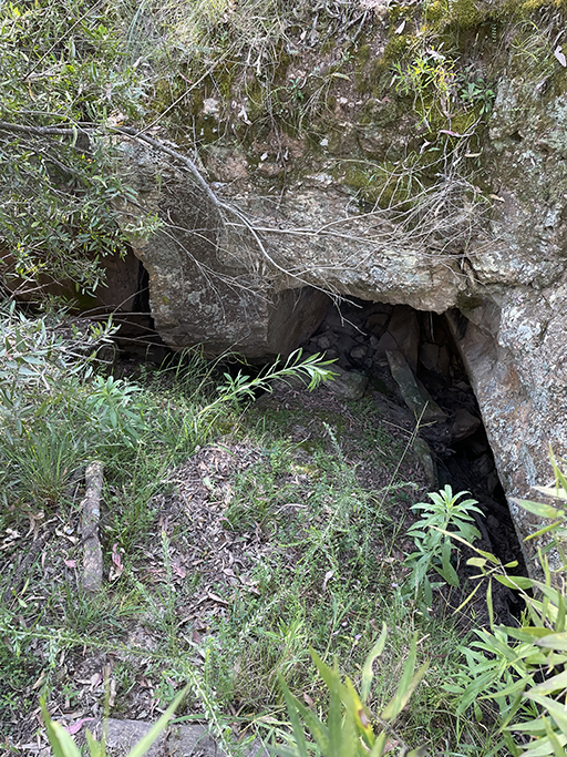
At the top of the hill there is a picnic table overlooking the Liverpool Plains and towards the end of the path the earth becomes barren and there are few plants due to the heat. A raised viewing platform provides a vantage point over the current smouldering area. You can feel the warmth of the baked rock and smell the sulphur even from this distance and if you look closely you can see heat shimmer rising from the ground. The surface temperature near the vent is around 350°C and the temperature 30 metres below the surface is thought to be about 1700°C.
Burning mountain is a special treat for anyone who is into geology and thermal phenomenon. And if you are not, then it is still a nice walk through eucalyptus groves with some lovely views.
