Mount Kaputar Walks
Australias Most Northern Alpine Region
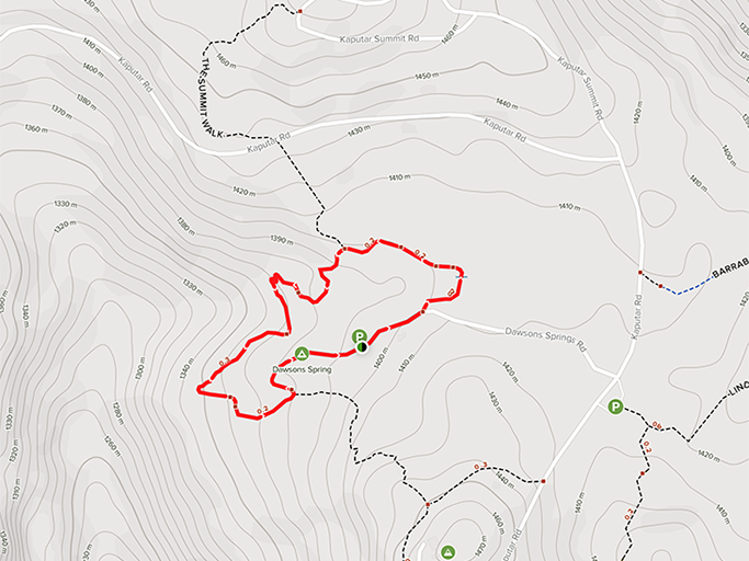
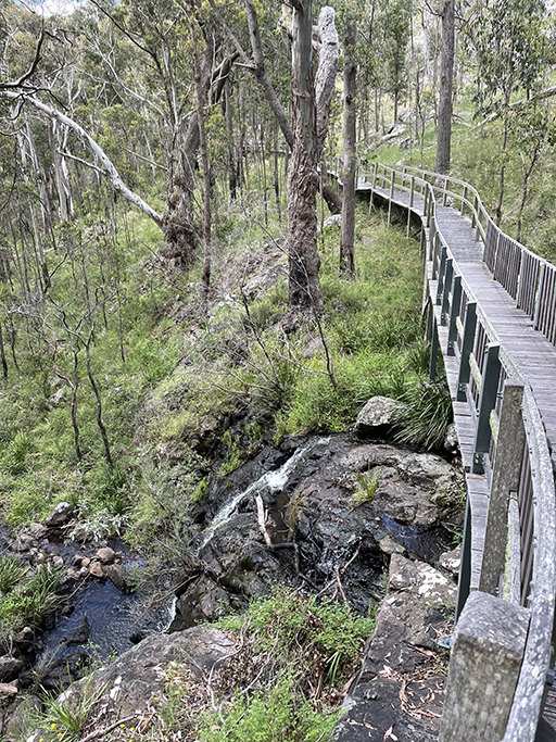
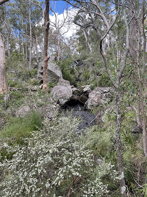
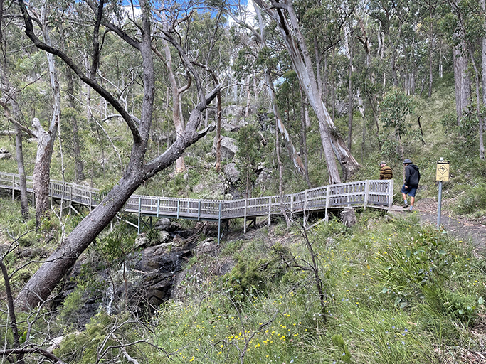
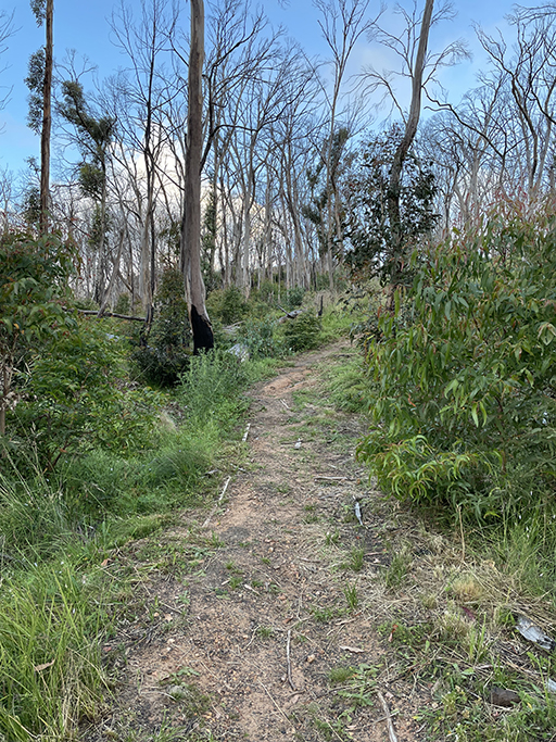
Dawson Springs Nature Trail
1.4km | easy
This easy walking track starts at the bottom of Dawson Springs camping area and loops back to the picnic area at the other end of the campground. A well defined track and raised timber boardwalk takes you through through sub-alpine snow gum woodland and heath, over the headwaters of Horsearm Creek and a waterfall. There are signs along the way educating you about the many plants and animals that call the alpine plateau home.
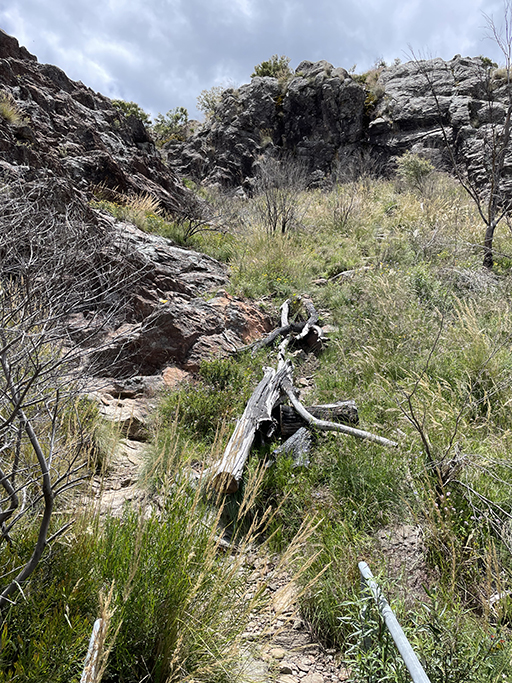
Three Lookouts (section of Bundabulla Loop)
3km | moderate
From the Eckford Carpark we did what was essentially half of the Bundabulla Loop. The Bundabulla Loop joins several shorter walks into a 3.5km loop and you can do as much or as little as you would like. Starting from here the first lookout you come to is Horsearm Creek Lookout with stunning views to the west over the headwaters of Horsearm Creek.

Continuing down the track you come to Eckford Lookout, which is accessed via a raised metal walkway through herbfields of delicate flowers and mosses that grow along the tops of the cliffs. The views over the southern parts of the park and the plains beyond stretch for miles. At this point you are just under a km from the car park.
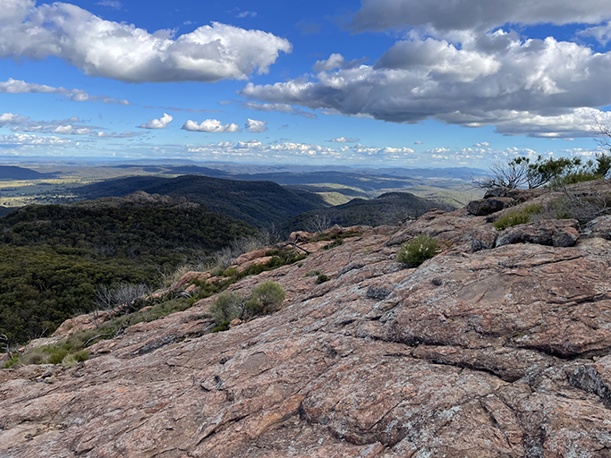
The Bundabulla Lookout is about another km along the loop track and takes you out over ancient lava flows for more spectacular views over the Liverpool Plains. Follow the yellow markers stuck to the rocks and spend some time exploring to the edge of the lava flow.


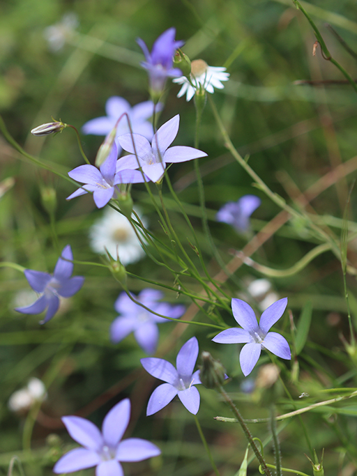
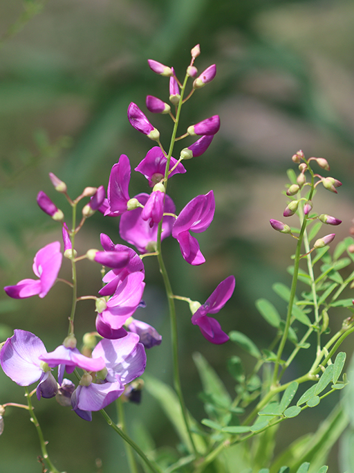
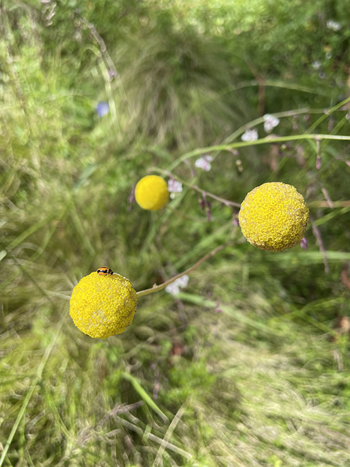
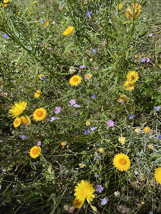
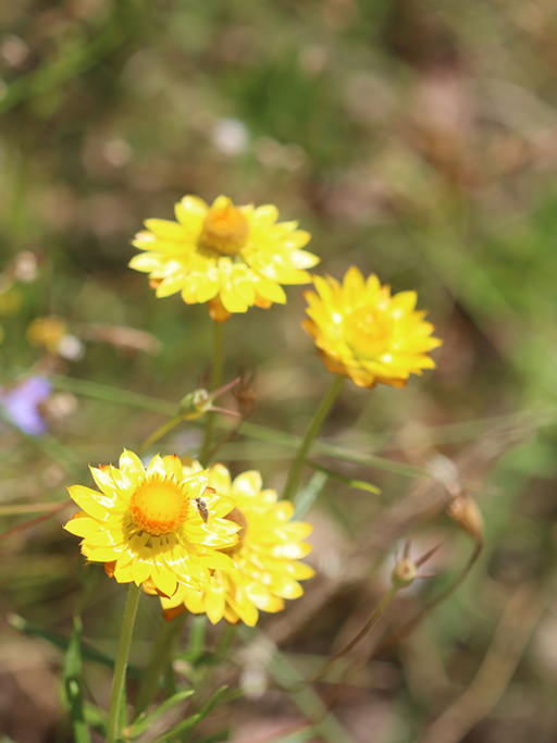
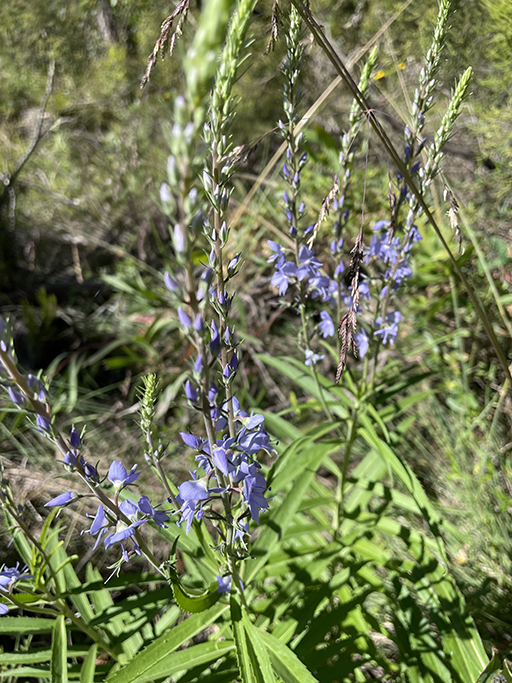
From here we backtracked to the car park but you can keep going if you prefer and compete the loop around to the Lindsay Rock Tops Walk. Wildflowers were abundant along the track and there were information signs identifying different varieties, we resolved to start learning some of the native flora and started with the three below.
Lindsay Rock Top Walk
2km return | easy
A well defined gravel path until you hit the lava flow. Once again folllow the yellow markers over the lava terrace with excellent views to the east and south over the plains.
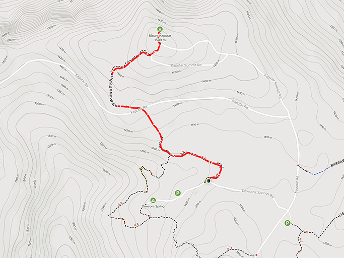
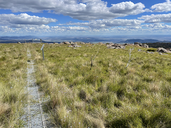
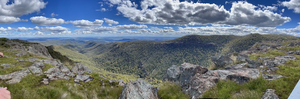
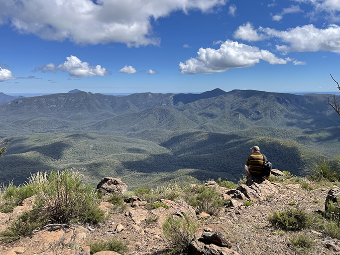
Mount Kaputar Summit
2km return | moderate
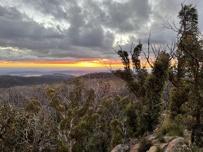
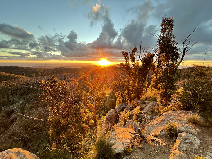
On our second day we dragged ourselves out of bed before sunrise and made our way to the summit of Mount Kaputar in the early morning twilight. Despite the cool of the pre-dawn the walk to the summit is strenuous enough to warm us up. We cross the road twice on the way up (You can actually drive up if you would prefer) and get to the top with 10 minutes to spare before sun up. The viewing platform on the summit has a trig point on it and spectacular 360 degree views. It is also very cold, but well worth the effort as the views are spectacular!


Mount Coryah Walk
4km loop | moderate/hard
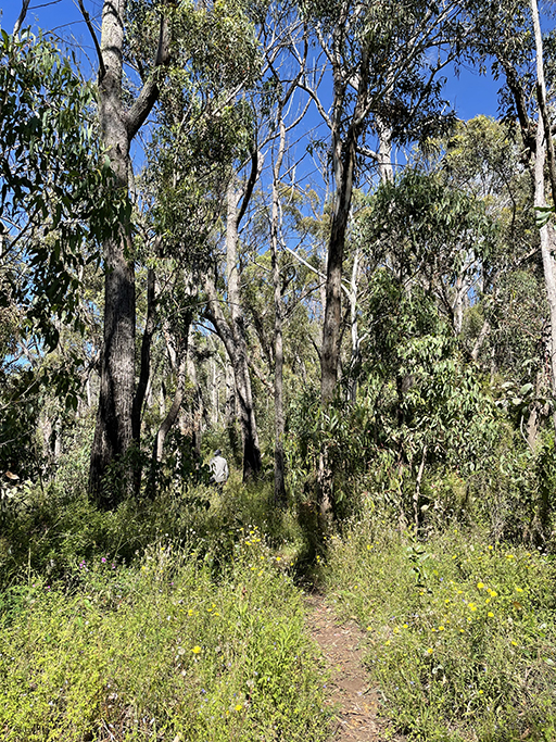
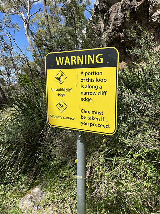
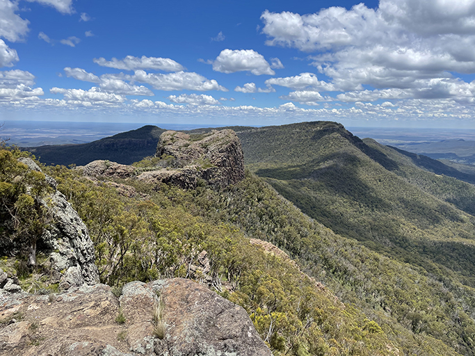
This was the most strenuous walk that we tackled during our stay, starting from Coryah Gap carpark the track climbs steeply up the stepped ridge. These terraces were formed by a series of lava flows, each new one covering the ones beneath it. The wildflowers along the ridge are beautiful, many we have seen on previous walks, mixed with new varieties we are yet to learn. After climbing some steel stairs and crossing a small bridge the track follows the base of the cliffs around to the left. Climbing steeply to the top terrace, the path then circles around the summit of Mount Coryah, providing spectacular views to the south, east and north.
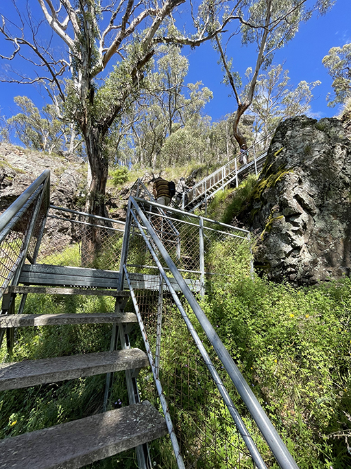

On the northern escarpment is a rocky outcrop which makes an excellent lookout and the track from here descends from the summit to pass back under the lookout. This section of the track follows the base of the cliff again and is very narrow and in some places quite overgrown. There are some impressive grass trees and the views continue to be spectacular. If you would prefer to avoid the narrow cliff edge or it has recently rained you can skip this part of the loop and return the way you came from the lookout.


Euglah Rock track
650m return | easy
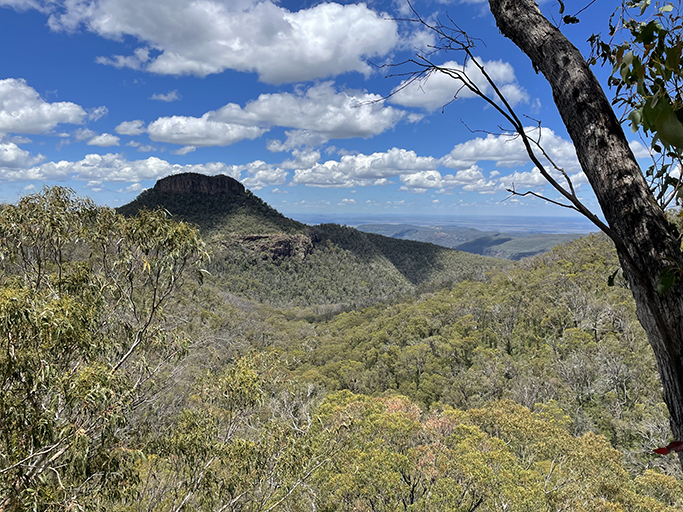
Not sure if this rates as a walk or just a lookout – from the bottom of Bark Hut camping area a sealed path takes you to a timber viewing platform looking out over the volcanic remnant known as Euglah Rock. This distinctive lava plug can be seen in the distance from many vantage points around the park, but from this spot it is the highlight of the view.
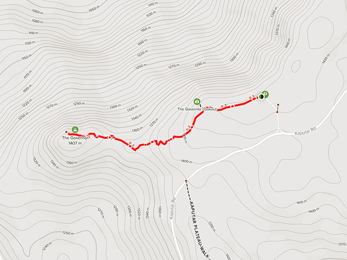
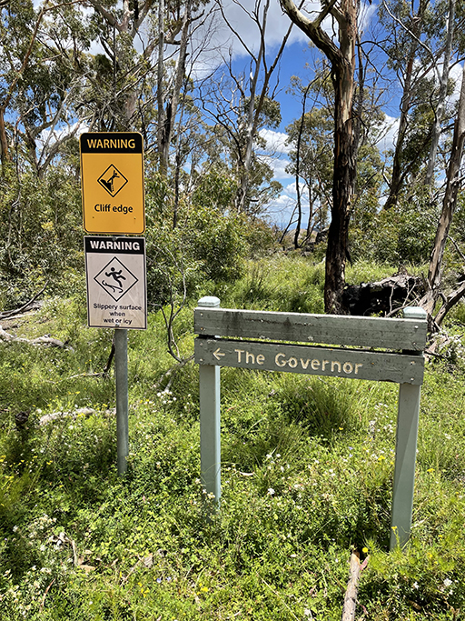
The Governor Summit
2km return | moderate/hard
It is just 300m from the carpark to Governors lookout, where the view to the top of the Governor (also known as Corrunbral Borawah) gives you an indication of the degree of challenge the walk to the summit entails. As this was our third walk for the day I wasn’t sure if I was up for the whole thing but agreed to give it a go and see how far I got.
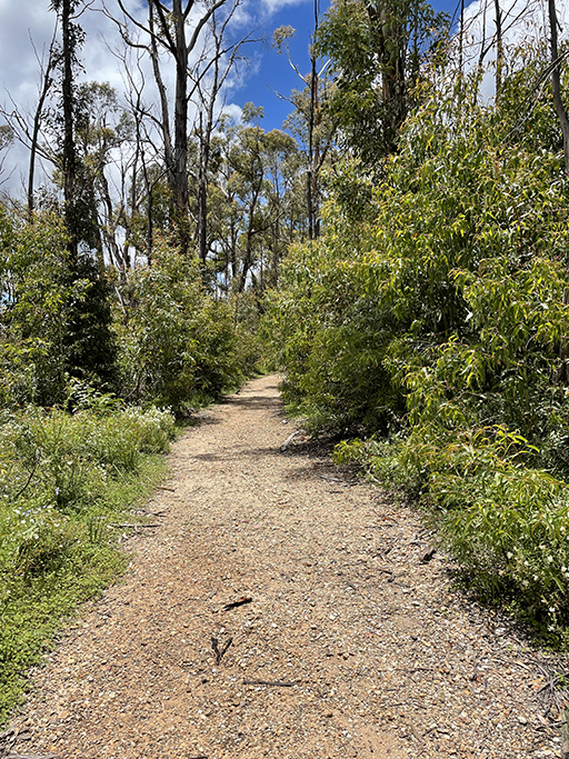
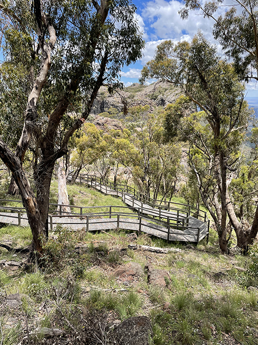
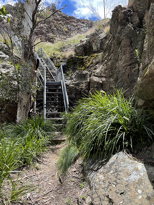
The walk starts along a well formed gravel path and then a board walk descending onto the saddle. It lulls you into a false sense of security before you hit the second half of the walk with steep ladders and rock climbs to get you to the summit. More yellow markers stuck to the rocks mark the path and although quite steep it is well worth the effort with breathtaking 360 degree views across the Nundewah Ranges and Euglah Rock.


The maps below are from Alltrails.com (with a few little edits by me)