Sugar Loaf Point Lighthouse
Helping light up the NSW coast
Seal Rocks | 660m one way | moderate
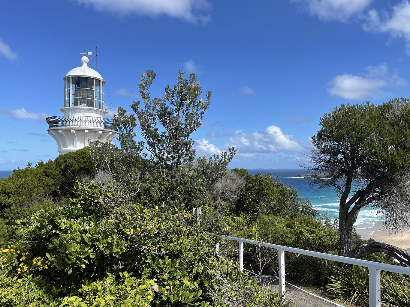
As coastal shipping increased in the 19th century so did the number of shipwrecks along the NSW coast, several around the Seal Rocks area. In 1863 it was agreed that a lighthouse should be built to help mariners navigate around the rocky islands off the point. Originally it was planned to set the light on the most northern of Seal Rocks. Unfortunately, landing on the rocky outcrop proved more difficult than expected, and the plan had to be revised. In 1875 the light house and cottages were built on Sugar Loaf Point instead.
Sugar Loaf Lighthouse was the first light to be built as part of an ambitious program to light up the coast of NSW like a ‘street with lamps’. Other lights in this program include South Solitary Island (1880), Barrenjoey (1881), Montague Island (1881), Green Cape (1883), Smokey Cape (1891), Point perpendicular (1891), Cape Byron (1901) and Norah Head (1903). Each light has a distinctive flash pattern which allows those out at sea to identify the light and confirm their location.

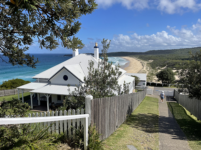
Since 1966 when the main light was converted from kerosene to electricity, it sweeps up to 40km over the waves. The lighthouse also has a secondary red light which shines out over the rocky outcrops below. In 1997 the light was automated, and the Light Keepers and their families were no longer required to run and maintain the lantern. These days you can stay in the Light Keepers Cottages and imagine what it would have been like to live and work on this rugged coastline over 100 years ago (without the convenience of the local store in Seal Rocks).
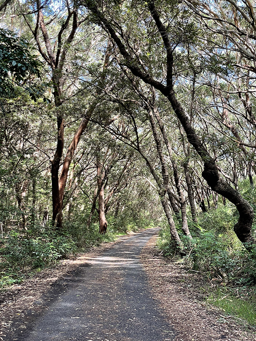
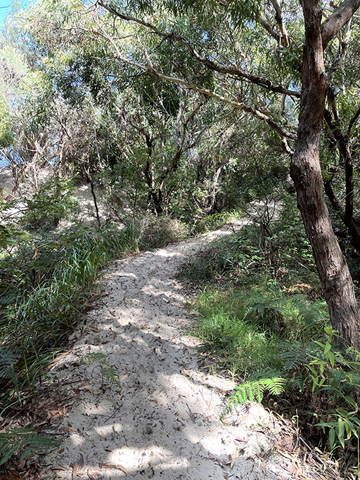
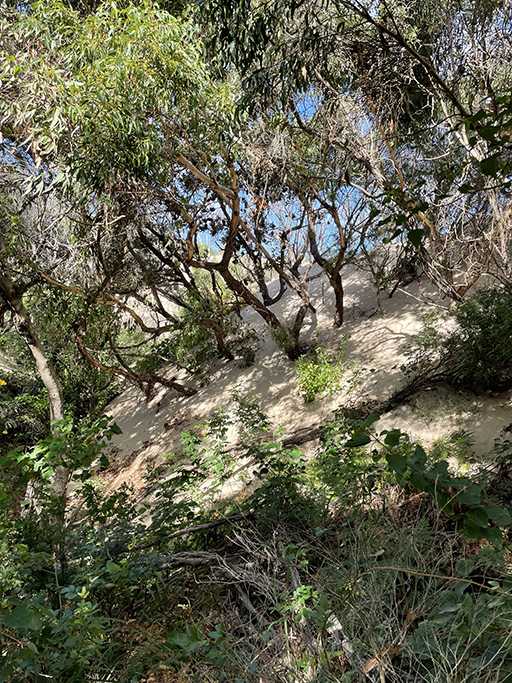
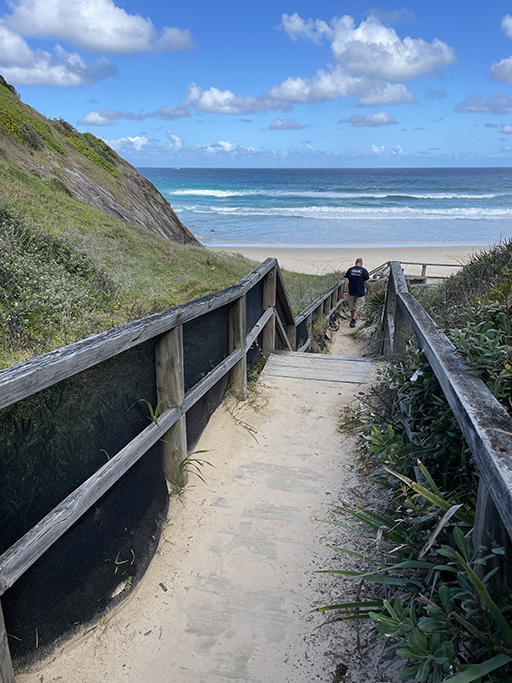
The walking track to the light house starts from the end of Kinka Road in the small community of Seal Rocks and follows a paved road around the point. The path gently undulates through coastal forest growing determinedly in the sandy soil. As the road bends to the left there is an unmarked track leading up into the sand dunes. A fascinating opportunity to see up-close the dunes slowly encroaching into the forest and swallowing trees whole. Further along there is also an access track down onto the beach.
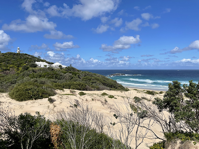
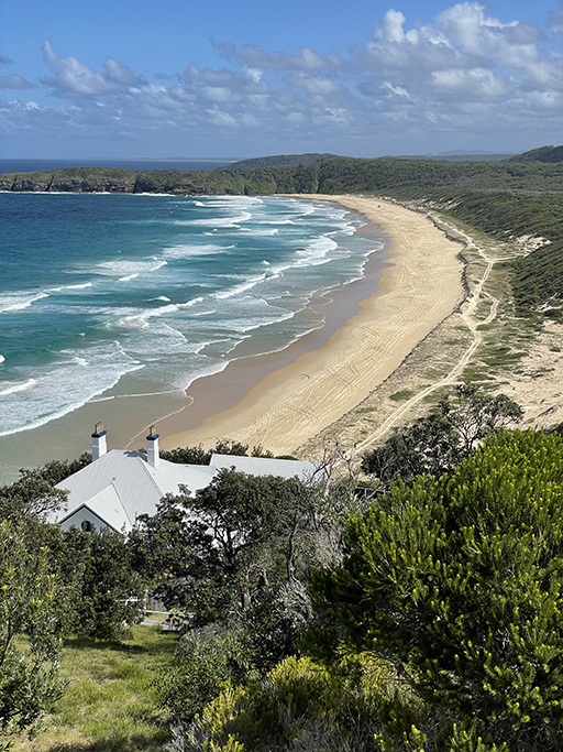
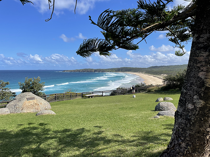
Back on the main track the incline increases until you arrive at the light keepers’ cottages. Before you head up to the main attraction, duck around the right-hand side of the first building (with the timber double doors) where a grassy path leads to an open headland and breathtaking views south along Lighthouse Beach and out to Seal Rocks, 3km off the point.
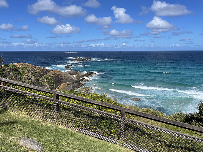


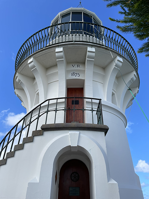
From the cottages a short steep concrete path takes you the last hundred metres up to the light tower. The tower is a modest 6.4metres high, not large as far as lighthouses go, due to its prominent position atop the cliff. From here there are more breathtaking views up and down the coast and out to Seal Rocks. These waters are part of the Port Stephens and Great Lakes Marine Park, if you are lucky you might glimpse dolphins or migrating whales in the waves below.
The light and cottages have been part of Myall Lakes National Park since 2003. There are some lovely camping areas and walking opportunities in the National Park if you want to stay in the area and explore some more.
