Freshwater, Queenscliff and Manly
Last leg of the Northern Beaches
South Curl Curl to Manly and North Head | 15km | moderate
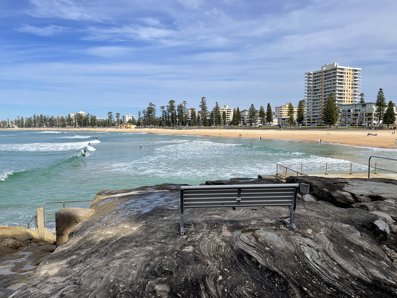
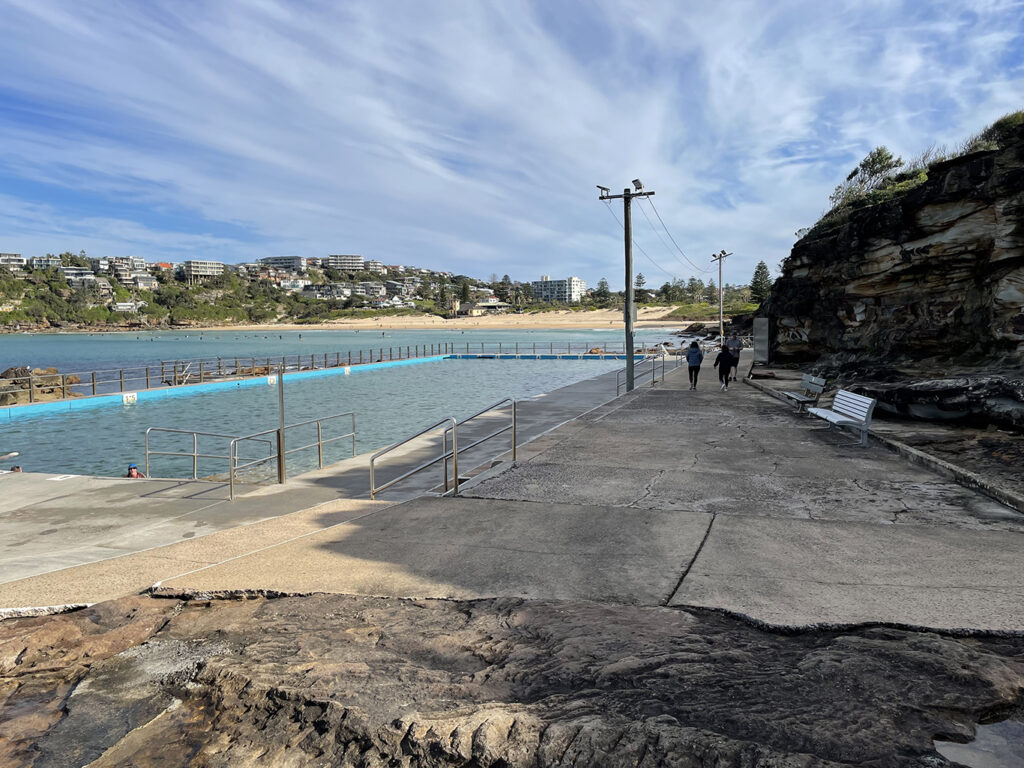
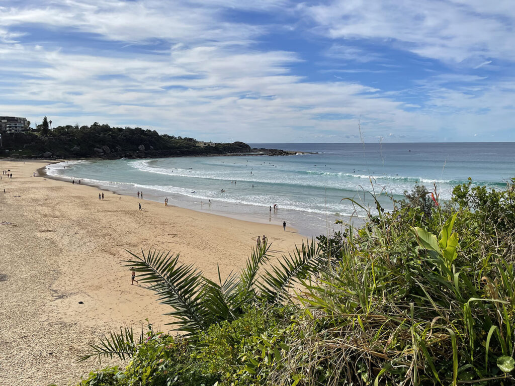
It is a beautiful day to pick up our adventures where we left of at South Curl Curl. And we are not the only ones out enjoying the sunshine. The beach, ocean pool and rock platforms are busy with swimmers, surfers and fishermen. It was surprisingly easy to find an all-day park for the car and as soon as we stepped out we agreed that some layers of clothing could be discarded before we even began.
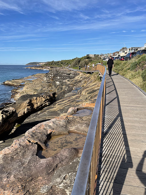
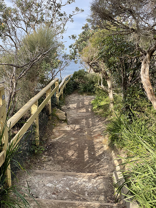
Curl Curl board walk is one of the prettiest sections of the coastal walk so far. Starting above the ocean pool, the path finishes just before Freshwater Headland, where you pop up onto the footpath along Lumsdain Drive. Continuing along next to the road you will soon come to a carpark and Freshwater lookout, with spectacular views across to Manly Beach. On the opposite side of Lumsdain Drive is a statue of Hawaiian surfer Duke Kahanamoku who was the first to introduce surfing to Australia. He was at Freshwater competing in a swimming competition in 1914 and shaped his own board from sugar pine before wowing Australia with his surfing talents. The beginning of a unique part of Australia’s culture.
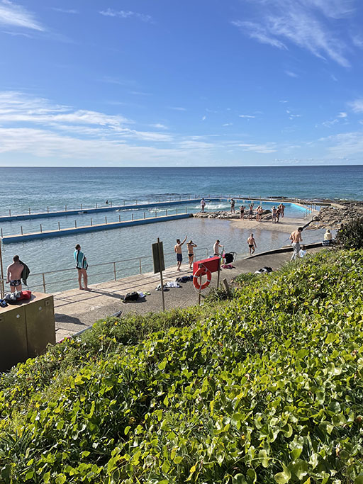
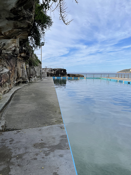
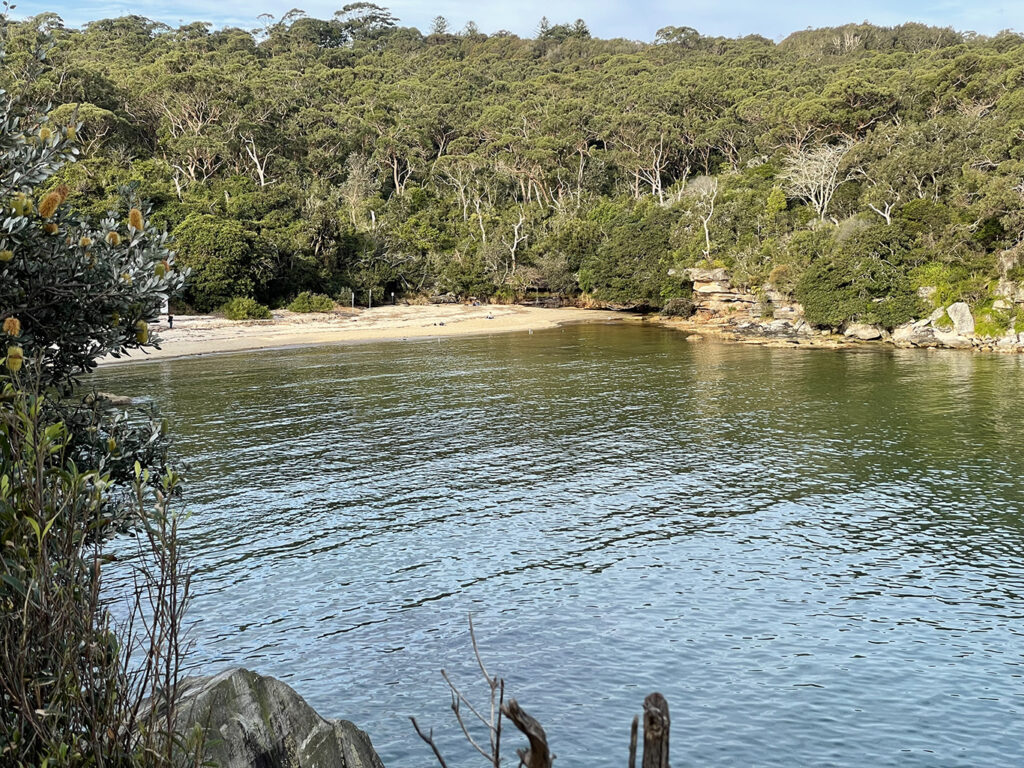
Back over the road, just to the left of the lookout is a path down to the rock platform which you can follow around the headland to Freshwater Rockpool. At the far end of the pool the path continues until you reach the sands of Freshwater beach.
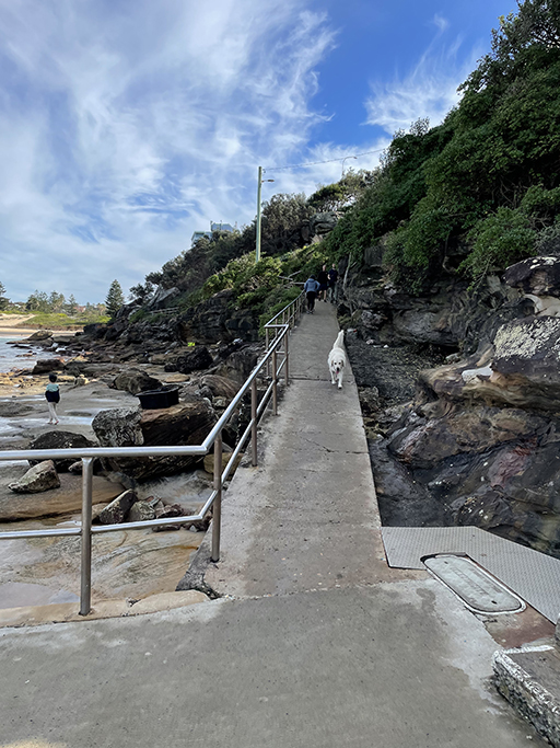
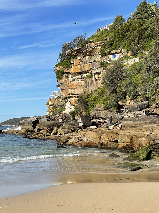
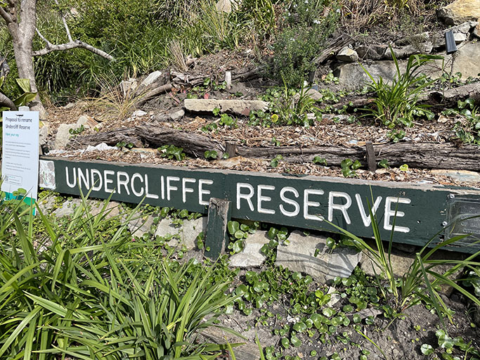
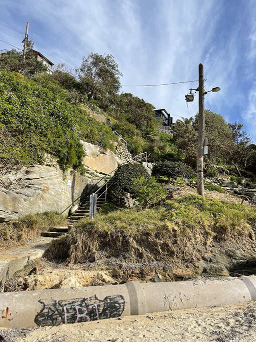
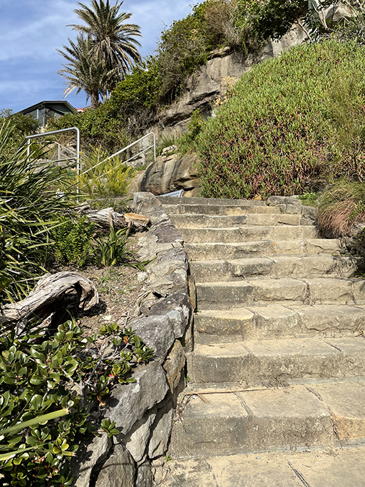
There are toilets and a café at the SLSC if you need, otherwise continue to the south end of the beach where you will find steps heading up through the appropriately named ‘Undercliff Reserve’. If you have arrived at Freshwater beach at low tide and are feeling very adventurous, it is apparently possible to get around Queenscliff Head at water level. There is no path that we could see and we have quite a long walk planned for today, so even though it was almost low tide weren’t up for the boulder climbing that would be required to take this route. If you are up for the challenge, take care, and only try it at low tide!
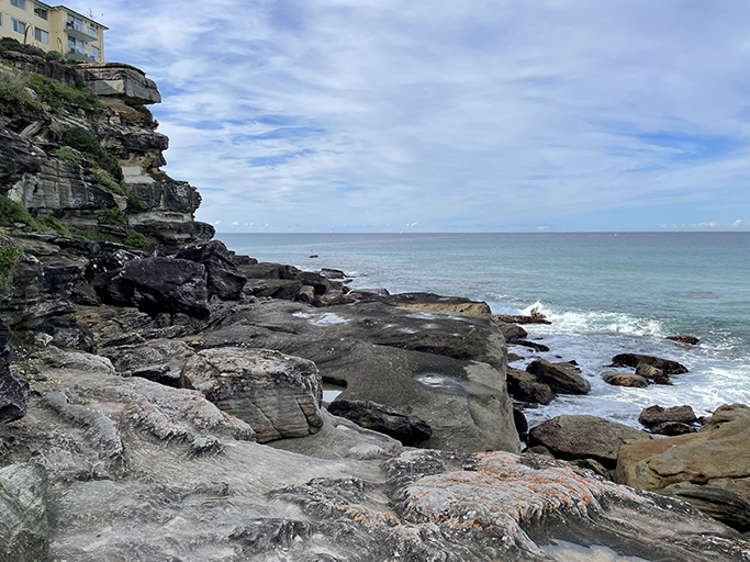
From the top of the reserve we walked along Pavillion Street and out to the end of Queenscliff Road to check out the view. Some of the buildings at the end of the headland are perched precariously close to the edge of the cliff. Back along Queenscliff Road and left into Bridge Street takes us across the entrance to Manly Lagoon and on to the golden sands of Queenscliff Beach.
Manly Wormhole
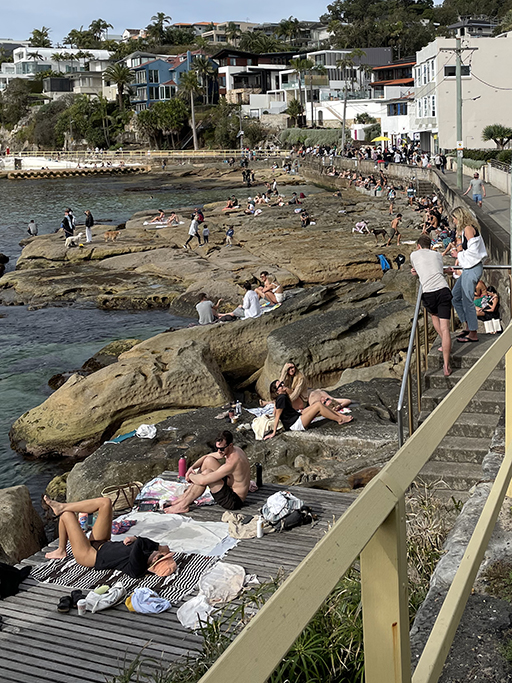
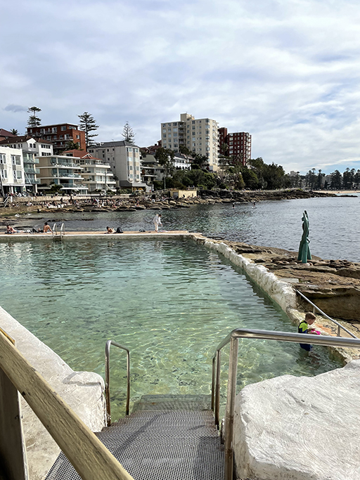
This is a short side trip which I have been looking forward too. Manly Wormhole, or Queenscliff Tunnel, has popped up on my Instagram feed a few times and I have been fascinated to come and see it for myself. It turns out that the tunnel is pretty much directly under the end of Queenscliff Road that we were standing on just a few minutes ago, but there is no access from the top of the cliff. Walk from the sand past the Queenscliff Rockpool and around the rock platform at the bottom of the cliff, you will see a big pink heart painted on the rocks at the end of the point. The entrance to the tunnel is just below this art work (graffiti?), and marked with an ’enter at own risk’ sign – you can’t miss it.
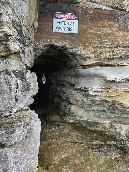
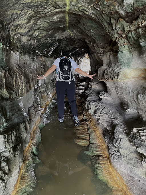
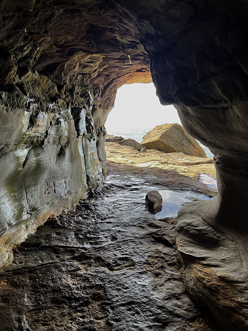
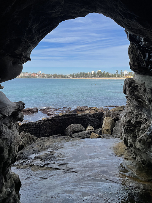
The 40 metre tunnel was dug through the sandstone by fishermen in 1908 to give them access between Freshwater and Manly beaches with less rock climbing required. If you have opted for the boulder climbing route from Freshwater you will come to the northern entrance of the tunnel, near the end of the headland, and use it to get through to Manly. The tunnel curves through the cliff with enough light from each end to make it walkable without a torch. The floor is uneven and often covered with pools of water which can be slippery. So, while not an easy walk, anyone with a moderate fitness level should be fine. Sensible shoes and low tide are the main requirements.
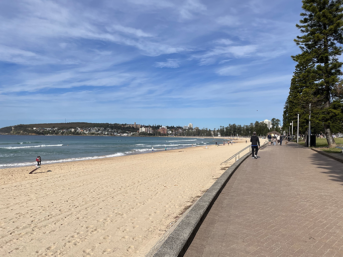
After exploring the tunnel and taking your own insta photos, walk back past the rockpool and onto the wide pathway that runs along Queenscliff and Manly Beach. If you are after something to eat you are spoiled for choice in Manly with dozens of restaurants and cafés to choose from.
Shelly Beach
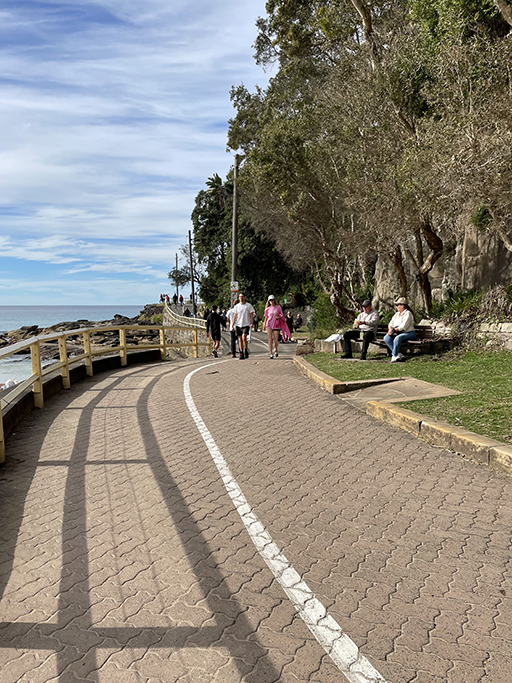
From the southern end of Manly Beach, a paved path takes you around Cabbage Tree Bay to Shelly Beach. The waters in this bay are a marine reserve and it is very popular for snorkelling and diving. The rocks along the edge of the bay are teaming with people relaxing in the sun, how good is winter in Sydney!! On the left is Fairy Bower Pool with its Sea Nymphs standing guard.
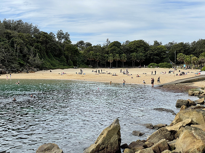
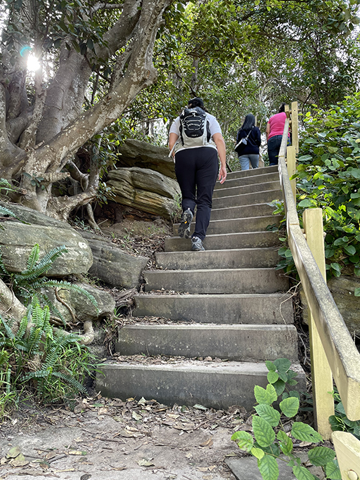
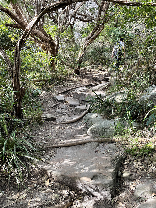
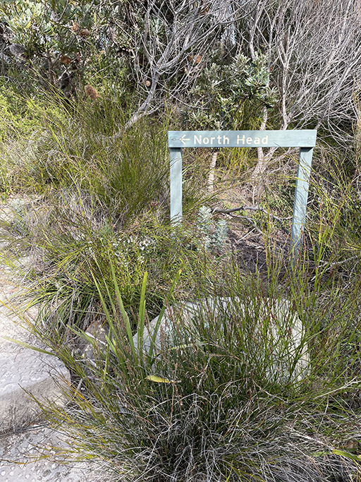
Shelly Beach is a lovely, protected cove, perfect for littlies, with views looking back up to Manly. At the far end of the beach there are stairs up to Shelly Beach Walking Track which runs around the headland and then continues up toward North Head. There are many lookouts along this track – don’t forget to scan for whales every now and then. Hopefully you will have more luck than I did.
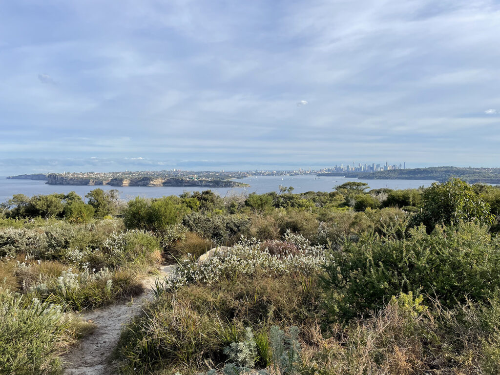
North Head
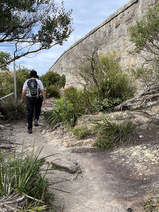
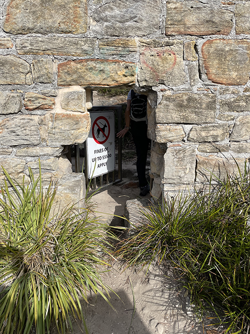
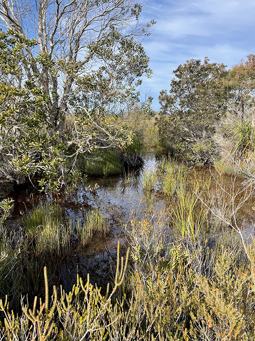
Continuing up the headland the path seems to peter out at a sandstone wall, and like us you might stop and wonder ‘were to now?’. This wall was built in the 1880’s to separate land owned by the church from what was then a quarantine station. This is the boundary of Sydney Harbour National Park and, unless you have your pooch with you, you can make your way through the hole in the wall that looks like it was made for leprechauns. On the other side of the wall the tree canopy gives way to lower scrub, this section of track is ‘Bluefish Track’ and will take you up to Bluefish Drive on North Head. On the way you will pass the Old Quarry Swamp and the first of many gun emplacements. During WWII, North Head was one of the most heavily fortified sites in Australia, part of a defence system that spanned 300km of coastline.
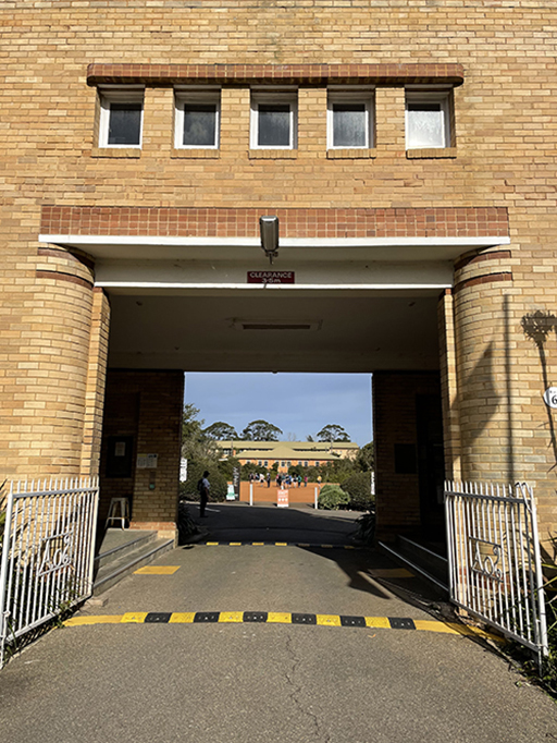
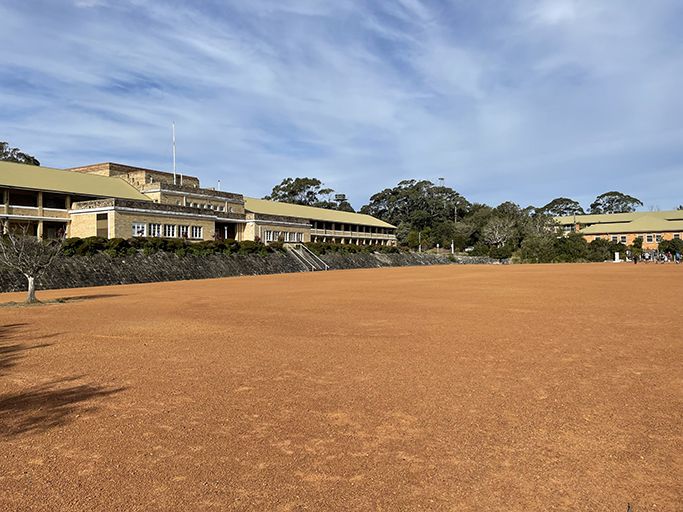
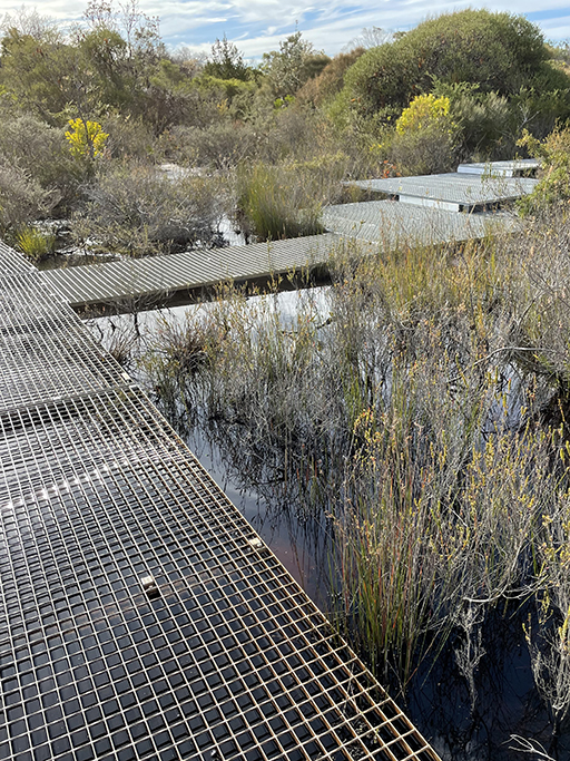
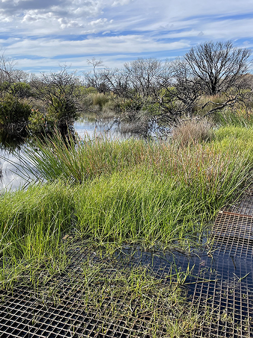
When you reach the road continue straight over and follow the path to the Barracks Precinct. Head through the rather imposing entrance and straight over the parade ground. At the far end of the parade ground turn left and follow the signs to the ‘Hanging Swamp’. You don’t expect to find so many swamps, or any really, on top of a cliff. But this loop along a raised metal walkway is an interesting and beautiful section of the walk.
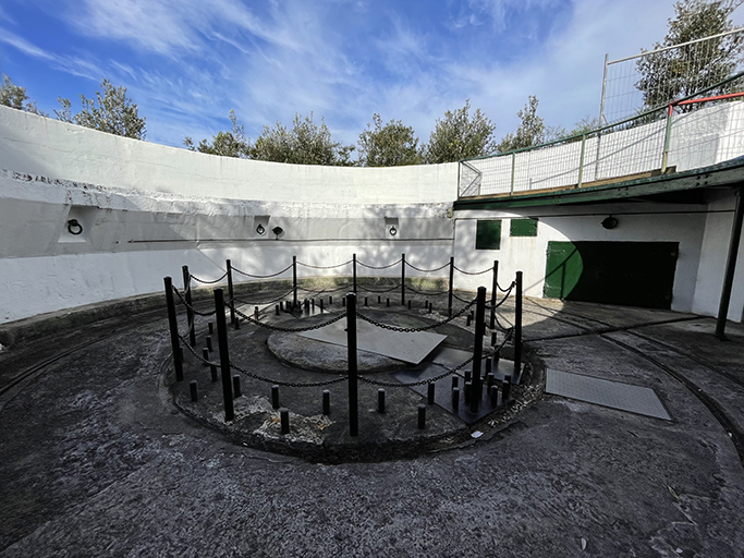
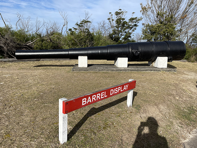
When the track meets back at the main trail turn left and follow the camouflage painted road to another gun emplacement that you can walk around. This is the location of one of two heavy 9.2 inch calibre guns that were positioned here during the second World War, to protect Sydney against enemy ships. The barrel of one of these guns is on display just a little further down the track. These guns were only fired once, two shots over the bow of a Polish ship, as a warning when it approach the harbour without clearance.
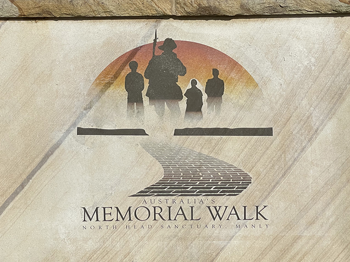
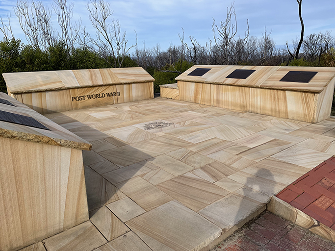
Just past the Barrel Display is The Memorial Walk with five monuments to remember the major military conflicts in Australia history. Pavers in the walkway are inscribed with the names and messages of those who have served in the Australian Defence Forces and their Allies. A lovely spot to rest and reflect.
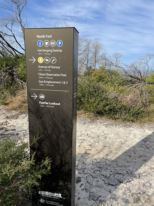
Further down the track from the Memorial Walk is the Fairfax Track and lookout. Sadly, it is currently closed for upgrades and won’t reopen until November 2022. Looks like another one to add to my list of return visits. From the ‘do not enter’ sign we turn right and head towards the visitor’s center and café. This is North Fort. There is also parking here if you want to come back to do some more exploring without the trek up from Manly. Over the road from the café there is a set of steps into the bush and a little boardwalk that leads to the main track. Turn left at the intersection and head to the ‘Third Quarantine Cemetery’.
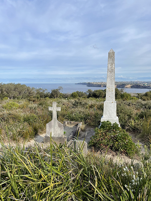
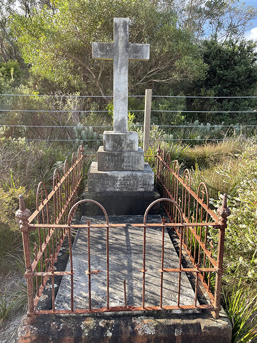
The cemetery was created in the 1880’s to cope with an outbreak of smallpox and later used for victims of the plague. Over 240 people were buried here and many of the graves have disappeared into the undergrowth, but work is being undertaken to identify them. After you have had a wander around the cemetery and admired the views of the harbour, turn left onto the track and then almost straightaway take a right along another boardwalk, following the signs to Manly.
This path will take you past a couple of lookouts, through more pockets of swamp and fields of ferns before spitting you back out on North Fort Road near the Barracks District. From here you can head straight back into Manly down North Head Scenic Drive or if you are up for another detour turn left along Collins Beach Road and head down the hill to Spring Cove. When you reach the Institute of Police Management (not sure if the police are learning how to manage us or others are learning how to manage the police?) there is a walking track to the right leading to Collins Flat Beach.
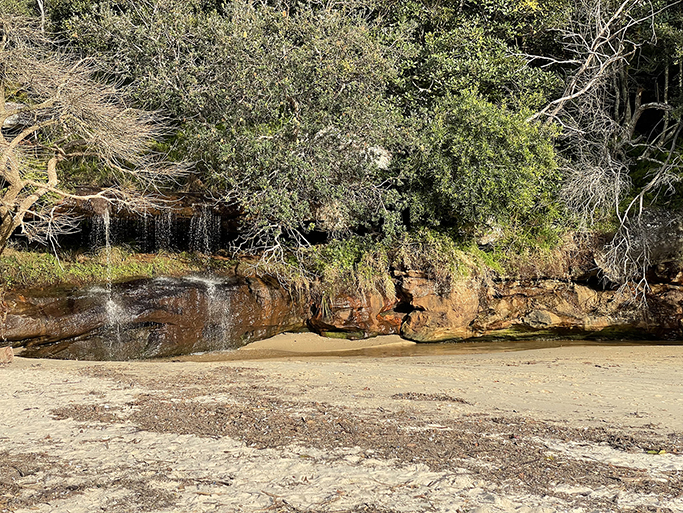
This little harbour cove is habitat for Fairy Penguins and the only harbour beach in Sydney with a waterfall. Stroll along the sand and at the far end you will find stairs leading up to Collins Flat Track through Skinners Reserve. This is where my phone battery died. Apparently 62% battery was not enough to GPS/map 15km of walk and take many, many photos. Must remember to bring a power bank next time. So, from here my map has been fudged in Photoshop and you will have to take your own photos when you do this walk.
The path crosses Stuart Street and continues through the park to the end of Little Manly Point. Do a circuit of the park and then take the track to the left (still following the Manly signs) to Little Manly Beach. At the end of the beach follow the boat ramp up to the street and take Stuart Street and The Esplanade past Manly Skiff Club, Manly Sailing Club, Manly Yacht Club, and Manly Launch Club – beginning to see a theme here. Back into the hub bub of Manly for ice cream (I have earnt it) and a bus back to the car.
