Middle Head to Cremorne
Sydney Harbour part 3
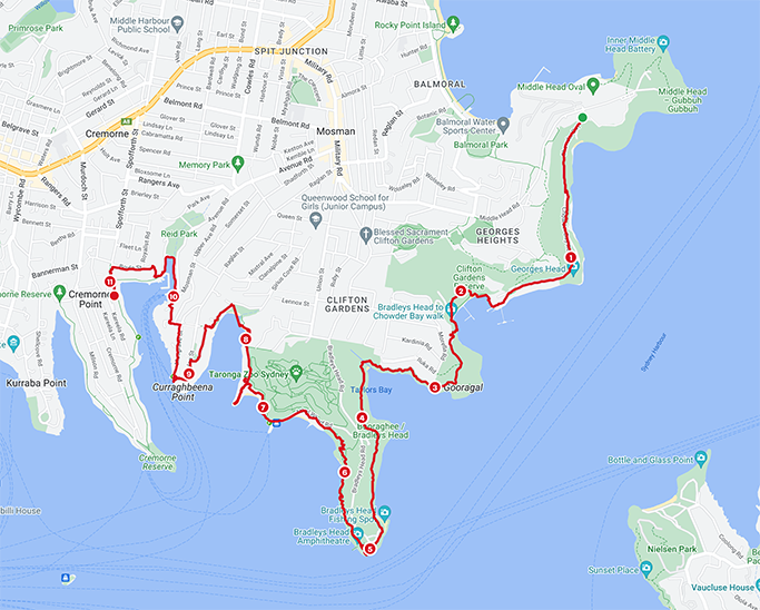
Having triumphed over the coastal walk from Palm Beach to Manly, Jen and I have embarked on our next challenge – walking around the foreshore of Sydney Harbour. This is the third part of our walk – 10km from Middle Head to Cremorne.
After our last walk (from Clontarf to Middle Head) we have decided that public transport isn’t fitting well with our current plans. Things might improve when we get further down the track but for now we have settled for using two cars and leaving one at each end of the route. This does reduce our flexibility and tie us into a planned distance, but it is what it is.
Picking up back at Middle Head it took us two attempts to start this walk. Last week we set off on an overcast day with a little drizzle, and as we headed down Chowder Bay Road the rain got heavier and heavier. We persevered for a while before admitting defeat and heading back (dripping wet) to Burnt Orange for a hot beverage.
Today the weather is looking much more hopeful.
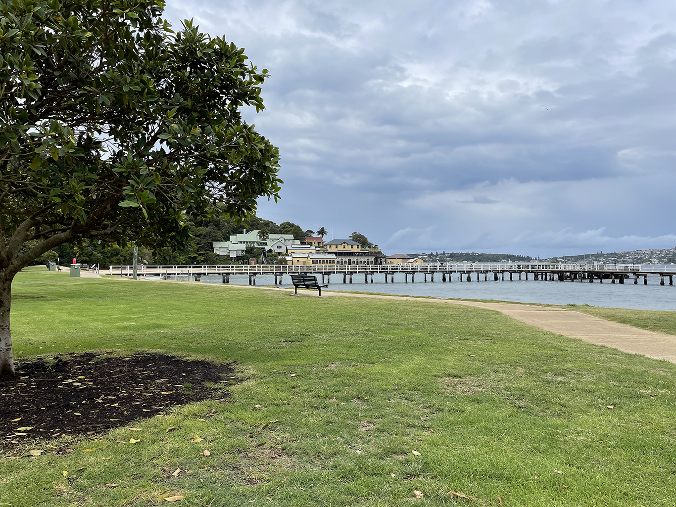
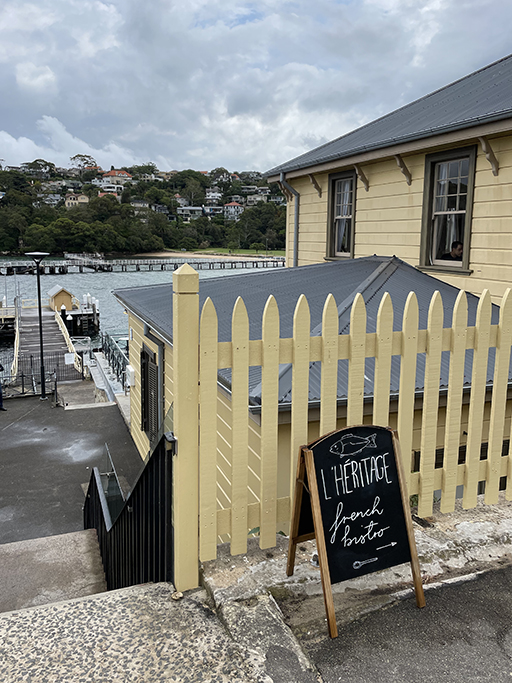
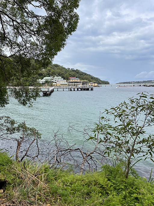
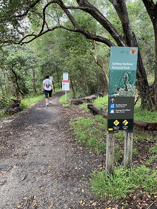
Chowder Bay Road runs around Georges Head, past Obelisk Beach, to Chowder Bay. At the end of the road you come to a nineteenth century naval building, the former Submarine Miner’s Depot, which these days is home to restaurants and cafés amongst other things. Follow the path around the outside of the timber buildings and on to the beach.
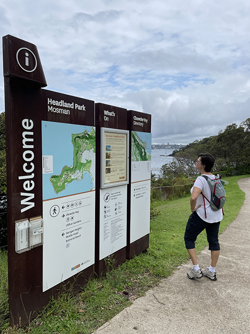
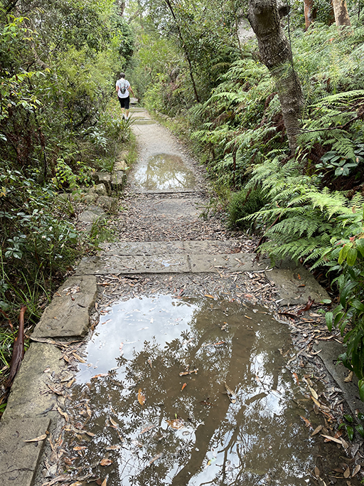
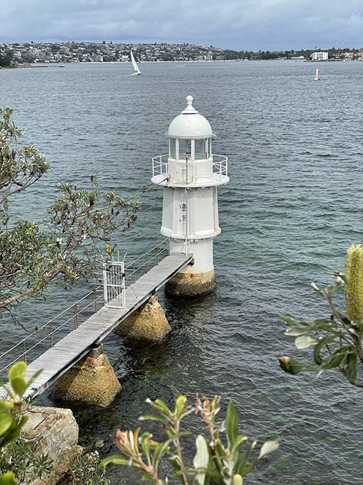
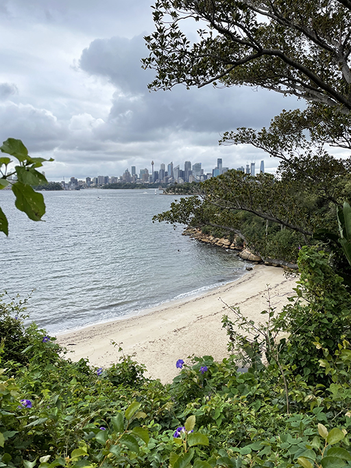
Continue through the park (toilets) or along the beach to the south end of the sand where the Chowder Bay to Bradleys Head path begins. This bush track follows the shoreline through another beautiful section of Sydney Harbour National Park, around Taylors Bay, Bradleys Head and past Taronga Zoo. The track is easy to follow although a little muddy in places when we were there, we have had a lot of rain recently. There are some lovely views of the harbour and when you get to Bradleys Head you get your first good view of the city skyline. The Opera House and Harbour Bridge will dominate the views for the rest of this walk as well as the next couple of sections.

The Bradleys Head fortifications are amongst the best preserved around Sydney Harbour. Near the end of the point there is a firing wall and a single cannon mount built in the 1840s. If you feel like exploring, then further up the hill towards the Taronga Zoo entrance you will find more fortifications built in the 1870s.
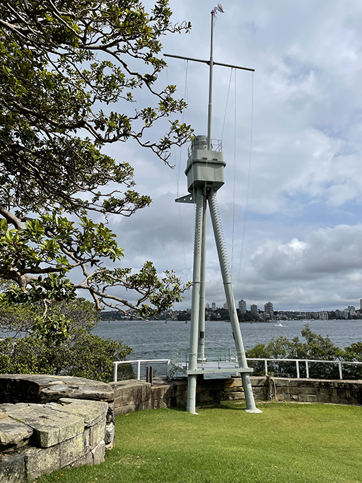
The mast mounted on the point is from HMAS Sydney, which was sunk during WW2 after a battle with the German cruiser Emden in 1914. Today it serves as a monument for all Australian ships lost at sea and sailors killed during battle.
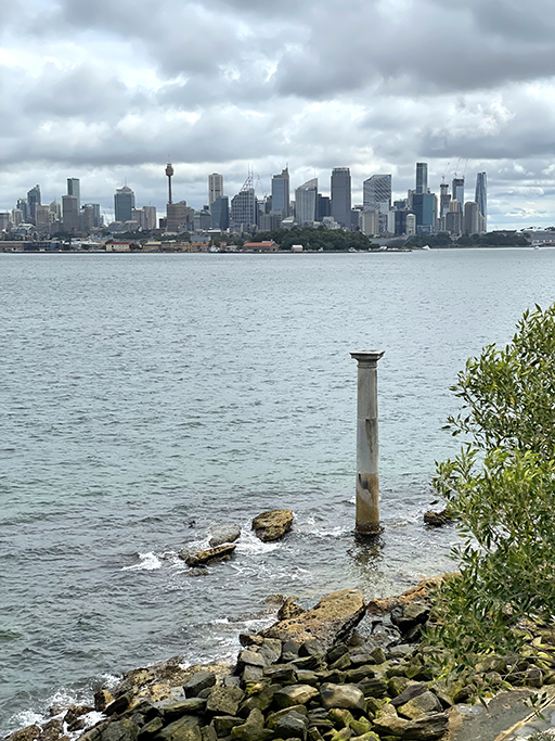
Sitting on the rocks just off the shore is a stone column from the original General Post Office in Sydney. It marks a distance of one nautical mile from Fort Denison.
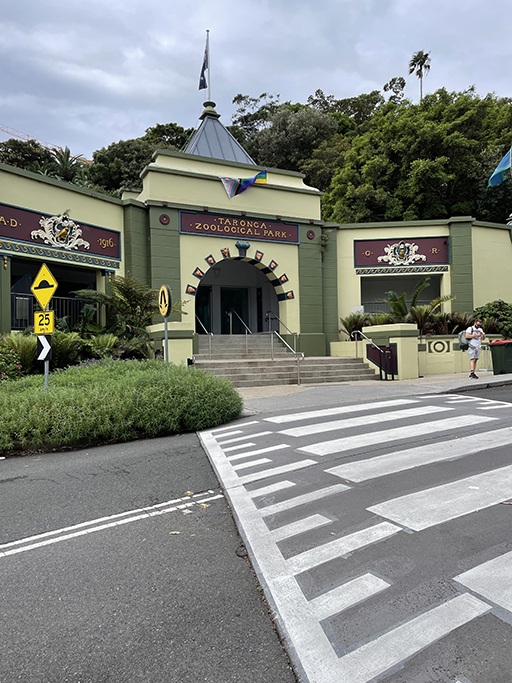
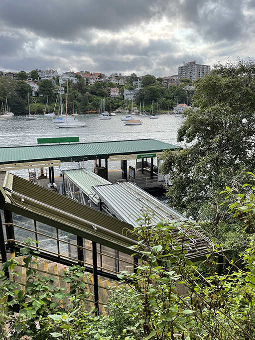
Follow the walking path around the headland past the amphitheatre and Athol Bay toward Taronga Zoo. The bush track ends at Athol Wharf Road near the entrance to the zoo. Continue left down to the ferry wharf and take the path that runs around the bottom of the zoo’s former Sky Safari, which sadly stopped running last month.

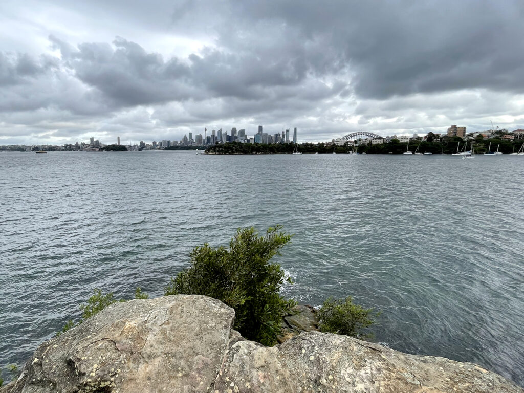
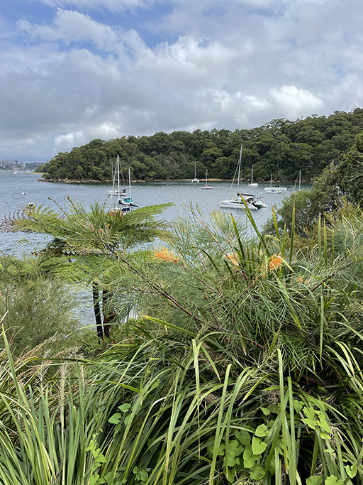
Back to bush track around the back of Whiting Beach. Just after the beach there is a track to the left that takes you to the end of Sirius Point for another spectacular view of the city skyline. After admiring the view head back to the main track and continue up to the end of the bay and Sirius Cove Reserve. My map goes a little skewed here as we stopped for lunch in the reserve and I forget to turn my tracker on until we got to the other side – sorry about that, but I am sure you can figure it out!
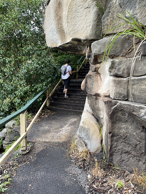
At the back of the reserve is a walking track up to Curlew Camp Road. A short way down the road the path leads back into a reserve before turning right up some concrete steps. The steps look daunting but have no fear as you only go halfway up them before turning left on to Currghbeena Road.
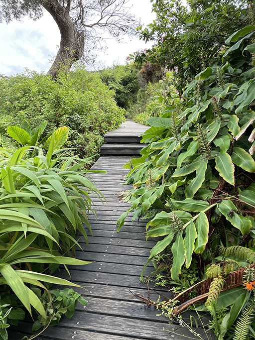
Since we left Manly most of this walk has been in bush. Different sections of Sydney Harbour National Park grace the shoreline and offer so many walking opportunities. From here as we head west, I think the ratio of bush to street walking is going to swing the other way.
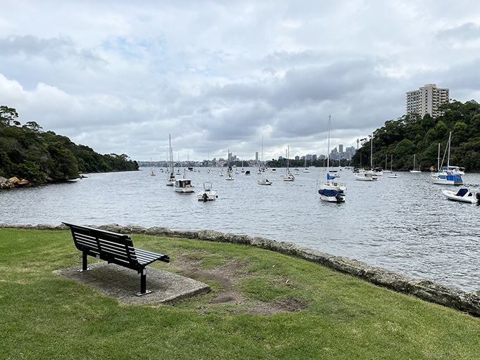
Follow Currghbenna Road and turn left into Raglan Street and then right into Herron Walk. The houses of Mosman are worth checking out, but the views glimpsed in-between them are even better. From the end of Herron Walk stone steps take you down to South Mosman Wharf and Little Currghbenna Park offers more panoramic views of the city. Follow Musgrave Street, McLeod Street and Trumfield Lane down to Mosman Wharf (toilets). Continue along the footpath around the bay to Mosman Rowers Club.

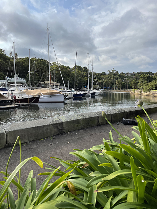
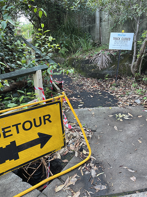
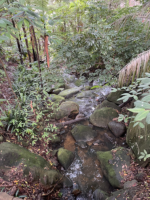

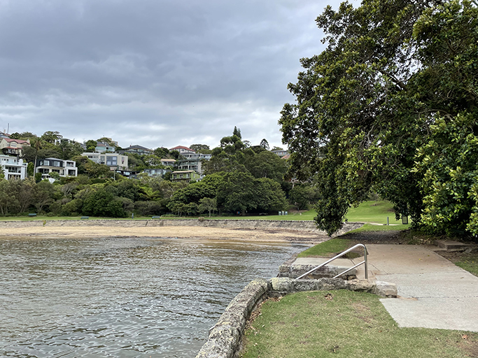
From Mosman Rowers the foreshore walking path is currently under repair and the detour takes us up to Boyle Street and along Lower Spofforth Walk Reserve. I was disappointed to be missing some of the foreshore walk, but the Lower Spofforth Reserve more than made up for it. Absolutely beautiful gardens, Port Jackson Figs underplanted with bromeliads and birds nest ferns. From the bottom of Kareela Road there are steps back down to the foreshore path which appeared to be open from here. That was good news for next time as our legs had had enough, Cremorne Point will have to wait for another day.