North Wahroonga Circuit
6km | 1.5 hr | easy
I have spent a fair bit of time googling local walks since we went into lockdown. Putting together a list of potential weekend exercise tracks. The first time I found this walk on a bushwalking site it was listed it as difficult, due to navigation requirements and very steep scrambles. After looking a bit further at maps of the area I couldn’t quite work out where the hard bits were and decided it was probably worth giving it a go. After all how hard could it be? And if I do get lost I am not far from civilisation, only a phone call away from rescue.
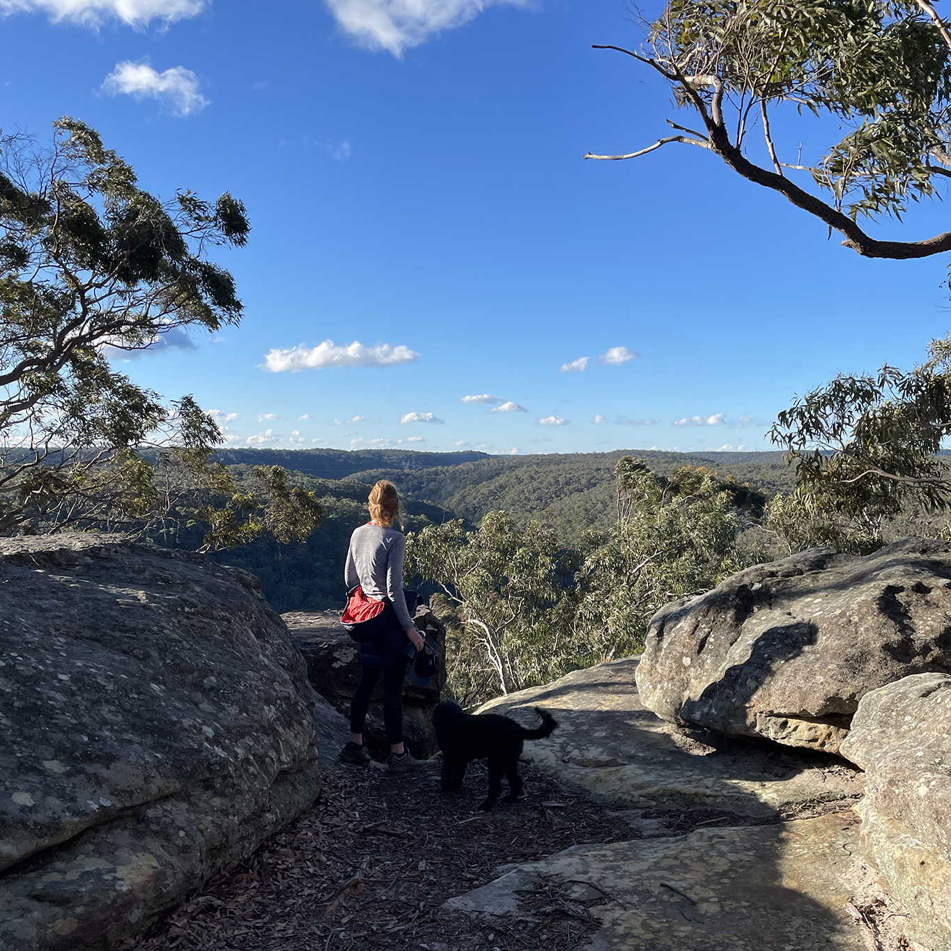
Skirting around the northern edge of Golden Jubilee oval and Cliff oval with great views over Ku-ring-gai National Park, the trail never actually goes into the National Park which means it is perfect if you are looking for a dog friendly walk.
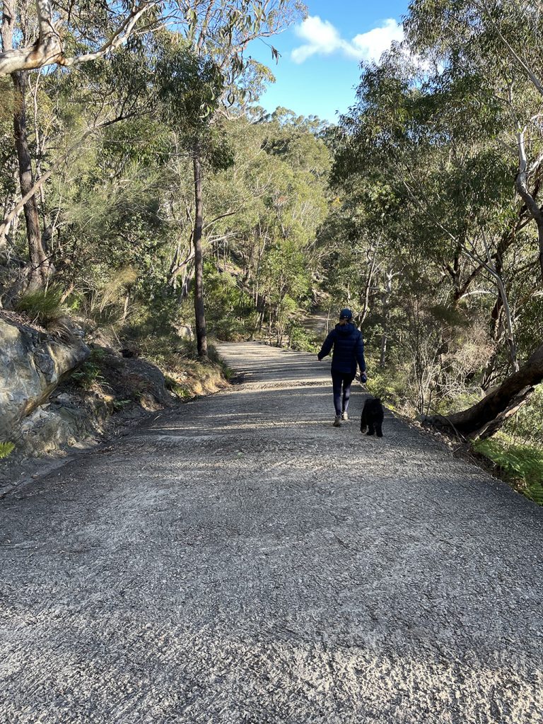
Current restrictions mean we can only exercise in pairs and are not able to carpool. So despite living very close to each other, my walking buddy (and her puppy) and I meet in Jacana Close in North Wahroonga. There is easy access to this walk at several points along the track, at either of the ovals and from many streets. No shortage of starting points, you can take your pick.
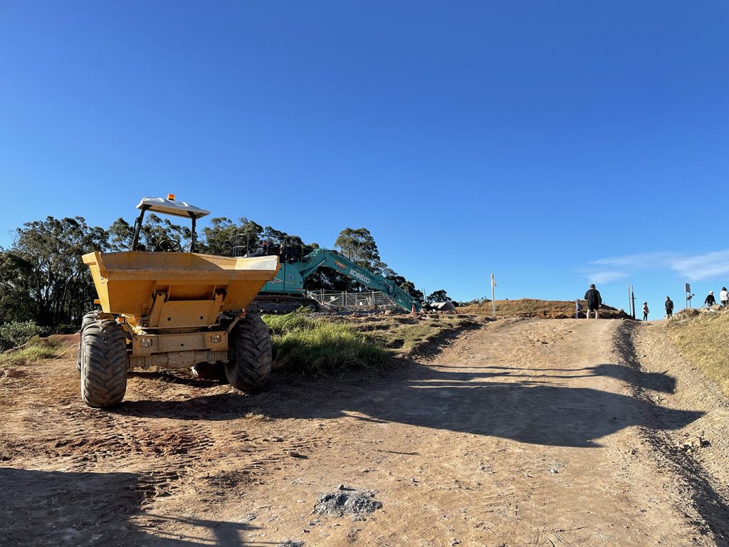
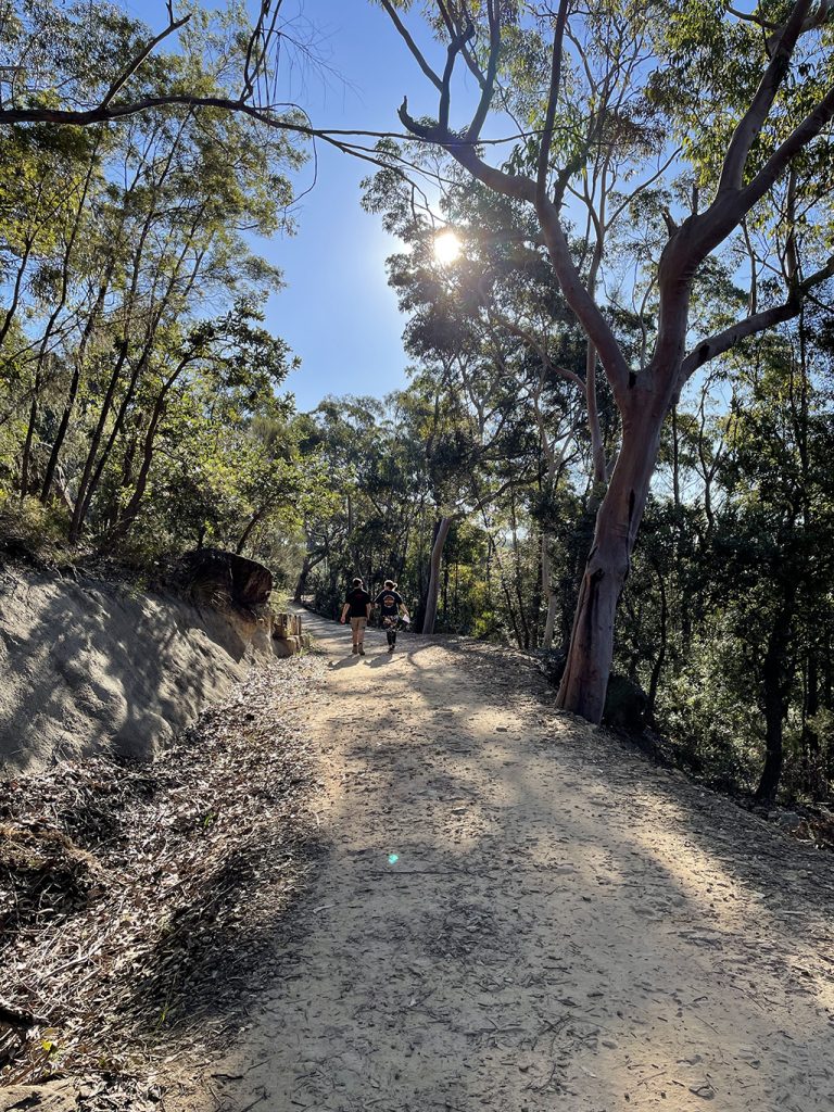
From Jacana Close there is a track through a small park which take us to Clissold Road. Down the bottom of Clissold Road is a locked gate and fire trail into the reserve. Heading left up the hill along the fire trail it is a bit muddy in places but not impassable. As we get higher there are view over the national park. The trail loops around the back of Golden Jubilee Field and past the new BMX tracks still under construction.
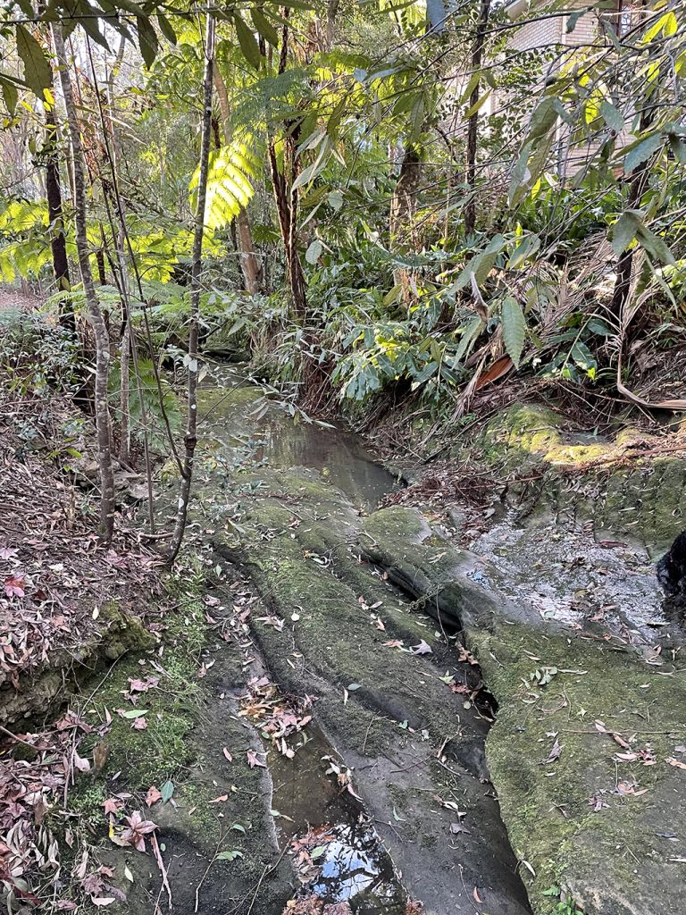
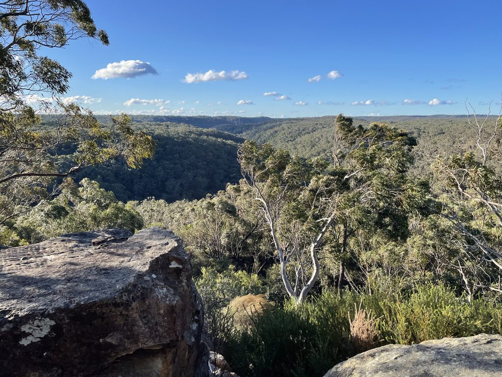
Back down the other side of the oval the trail is concrete and at the bottom of the gully we cross Caley Brook. Just after crossing the brook things went a bit pear shaped. I blame to much chatting and not enough paying attention. As a result we took a wrong turn, taking the trail toward Daly Avenue instead of following the trail to Lister Street. There is always a silver lining though. This wrong turn took us up to the back of Cliff Oval and the views out over Ku-ring-gai Chase NP were pretty good.
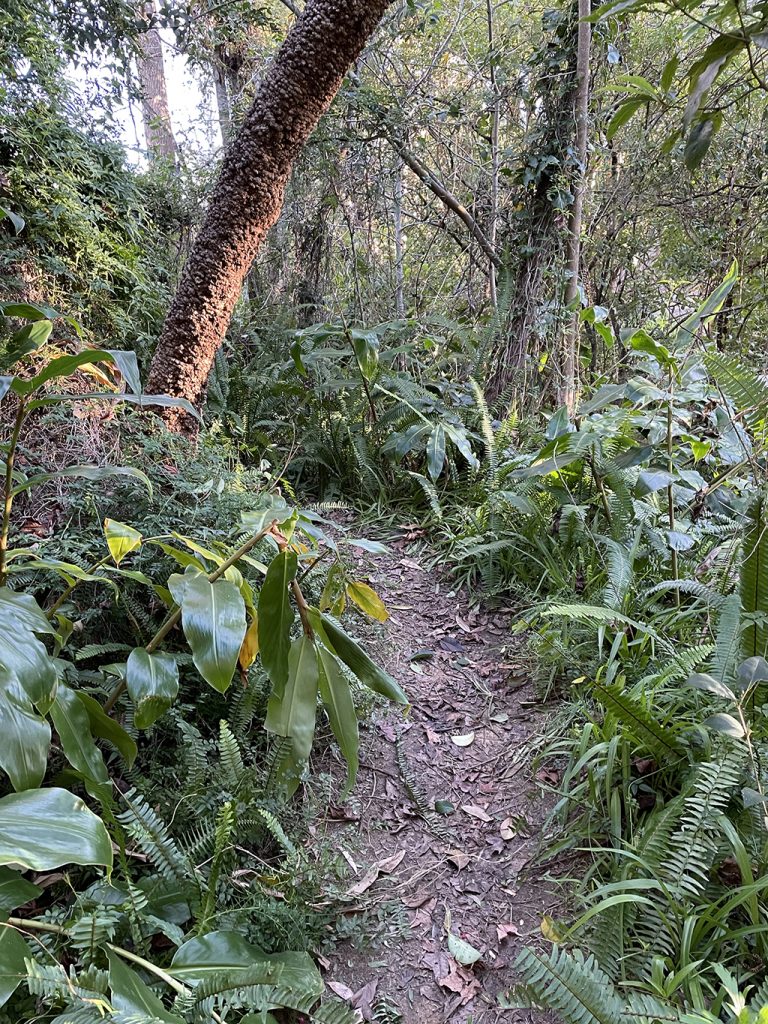
Not realising where we had gone wrong we found a bush track heading down hill and followed it for a while, then deciding we should be heading more west than north we did a bit of bush bashing to try and get back on track. All I can say is thank goodness for phones with GPS locations. We did eventually find our way back to the fire trail and finish the loop around to Lister Street.
To return to the car we are back walking the streets along Boundary Road. Between Morris Ave and Westbourne Avenue, Boundary Road seems to disappear into a reserve and if it weren’t for some friendly locals we may not have worked out how to get through the gully and back onto the road.
That was enough for one day but I was determined to work out where we should have gone so I came back a few days later with a couple of the kids and tried again.

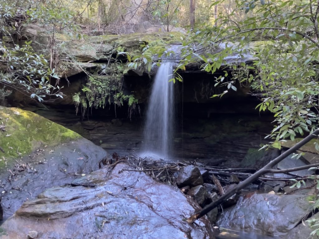
This time we just started from Daly Avenue and just did the second half of the circuit. We soon found the intersection where it had all gone wrong and headed down the correct fire trail to take us around the base of the cliffs of cliff oval and onto Frog Hollow fire trail.
It is actually a very pleasant, easy walk, all on fire trails. Providing you are paying attention you shouldn’t have any problems.
